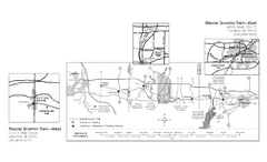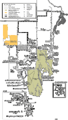
Buckhorn State Park Map
Hiking trails and fun locations marked on this map.
1237 miles away
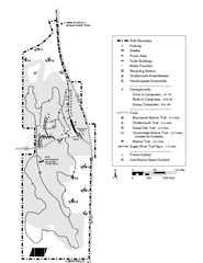
New Glaris Woods Map
Marked bathroom stops, trails, ect.
1240 miles away
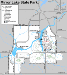
Mirror Lake State Park Map
Nice hiking routes around the lake.
1240 miles away
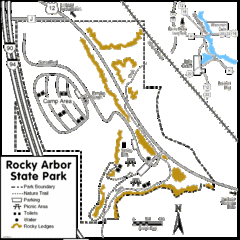
Rocky Arbor State Park Map
Detailed map of parking, water, ledges and boundaries for Rocky Arbor.
1242 miles away
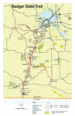
Badger State Trail Map
One of Wisconsin's best trails.
1246 miles away
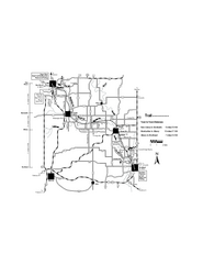
Sugar River Map
Towns, roads and rivers are all clearly marked on this map.
1247 miles away
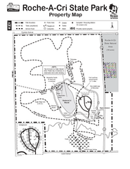
Roche A Cri State Park Map
Marked hiking trails for this State Park easily read on this map.
1247 miles away
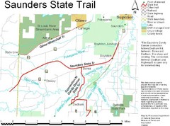
Saunders State Trail Map
Points of interest, lakes, roads, forests and more are marked on this map's key.
1256 miles away
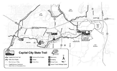
Capitol City State Trail Map
1257 miles away
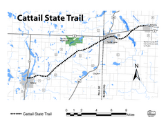
Cat Tail State Trail Map
Map marking trails, bike routes, shelter, toilets and more.
1260 miles away
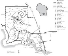
Lake Kegonsa State Park Map
Ball fields, drinking fountains, trails, and more easily guide you around this beautiful park.
1262 miles away
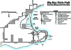
Big Bay State Park Map
Detailed map of nice hikes and stops around Big Bay State Park near Lake Superior.
1267 miles away
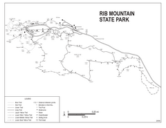
Rib Mountain State Park Map
Simple state park map with nice hiking trails.
1269 miles away
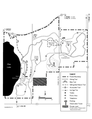
Pike Lake Map
Detailed trail map of area surrounding Pike Lake.
1283 miles away
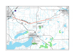
White River State Trail Map
Take the White River Trail from Elkhom to Burlington through nature's backyard.
1299 miles away
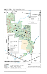
Lapham Peak Map
Ranger residence, hike path, restrooms and more are clearly marked upon this map.
1304 miles away

Chippewa Morraine State Park Map
Walking trails.
1310 miles away
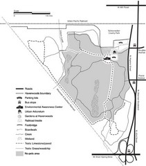
Havenwoods State Forest Map
Hiking trails and bus stops marked on this map.
1327 miles away
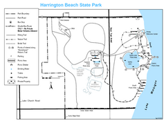
Harrington Beach State Park Map
Trails around Harington Beach State Park.
1339 miles away
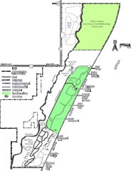
Kohler-Andrae State Park Map
trail, walk, water, nature, tourism, vacation, fun, adventure, journey,
1345 miles away
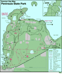
Peninsula State Park Map
Beautiful trails.
1389 miles away
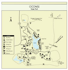
Oconee State Park Map
Beautiful state park clearly mapped with legend.
1626 miles away
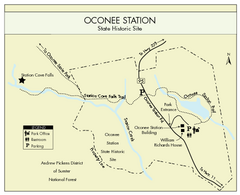
Oconee Station Map
Clear and simple map of Oconee State Park's station.
1629 miles away
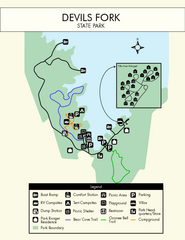
Devils Fork State Park Map
Clearly marked state park map.
1634 miles away
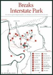
Breaks Interstate Park Map
Clear park map and legend.
1634 miles away
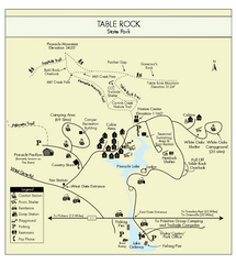
Table Rock State Park MAP
Clear and simple state park map and legend.
1646 miles away
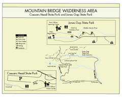
Mountain Bridge Wilderness Area Map
Map and legend marking bathrooms, picnic sites, trails and more.
1648 miles away
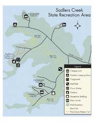
Sadlers Creek State Park Map
This simple map gives you an easy to follow layout of this amazing state park.
1651 miles away
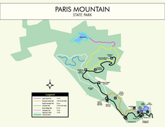
Paris Mountain State Park Map
Clearly labeled map of this beautiful state park.
1666 miles away
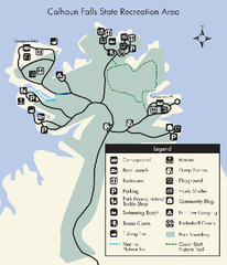
Calhoun Falls State Park Map
Clear map and detailed legend help make this map easy to read and follow.
1669 miles away
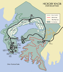
Hickory Knob State Park Map
Detailed map of this beautiful state park.
1683 miles away
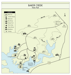
Baker Creek State Park Map
Beautiful park with wonderful views and plenty of wild life.
1687 miles away
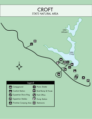
Croft State Park Map
Simple state park map.
1695 miles away
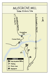
Musgrove Mill State Park Map
Clearly marked state park map.
1700 miles away
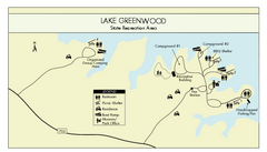
Lake Greenwood State Park Map
Clearly marked state park map on a beautiful waterfront.
1702 miles away
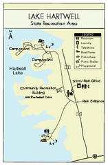
Lake Hartwell State Park Map
Clear state park map.
1719 miles away
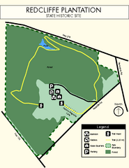
Redcliffe Plantation State Park Map
Clear map of this wonderful state park with a beautiful natural setting.
1724 miles away
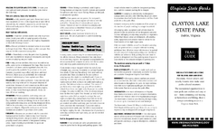
Claytor Lake State Park Map
Map of this beautiful state park.
1727 miles away
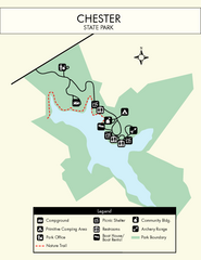
Chester State Park Map
Simple and clear state park map.
1732 miles away

