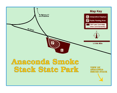
Anaconda Smoke Stack State Park Map
Simple map of State Park.
1961 miles away
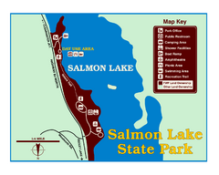
Salmon Lake State Park Map
Immediately adjacent to Montana 83, this park is an access point to one of the beautiful lakes in...
1990 miles away
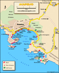
Acapulco Tourist Map
1992 miles away
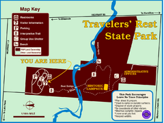
Travelers' Rest State Park Map
The Lewis and Clark expedition camped here twice during their historic journey to locate the...
1994 miles away
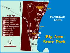
Big Arm State Park Map
Clear map and map key of Park camping grounds.
2038 miles away
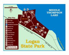
Logan State Park Map
With frontage on the north shore of Middle Thompson Lake, Logan is heavily forested with western...
2076 miles away
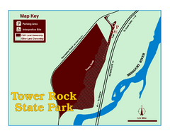
Tower Rock State Park Map
Tower Rock State Park is one of Montana's newest state parks. The 400-foot high igneous rock...
2369 miles away
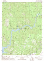
Devils Rock Quad - Shasta Lake Map
Topographic map, Devils Rock Quadrangle, California 1990. Area of map includes a portion of Shasta...
2433 miles away
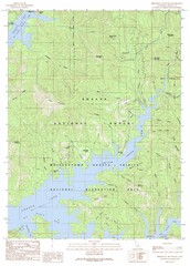
Minnesota Mountain Quad - Shasta Lake Map
Topographic map, Minnesota Mountain Quadrangle, California 1990. Area of map includes a portion of...
2438 miles away
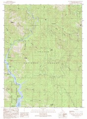
Bollibokka Mountain Quad - Shasta Lake Map
Topographic map, Bollibokka Mountain Quadrangle, California 1990. Area of map includes a portion of...
2439 miles away
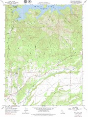
Bella Vista Quad - Shasta Lake Map
Topographic map, Bella Vista Quadrangle, California 1976. Area of map includes a portion of Shasta...
2440 miles away
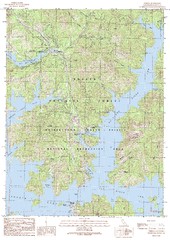
O'Brien Quad - Shasta Lake Map
Topographic map, O'Brien Quadrangle, California 1990. Area of map includes a portion of Shasta...
2445 miles away
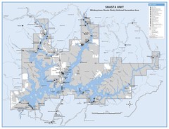
Shasta Unit - Whiskeytown-Shasta-Trinity National...
Map of Shasta Lake, California, showing roads, campgrounds, marinas and resorts, hiking and biking...
2445 miles away
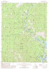
Lamoine Quad - Shasta Lake Map
Topographic map, Lamoine Quadrangle, California 1990. Area of map includes a portion of Shasta Lake...
2447 miles away
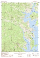
Bohemotash Mountain Quad - Shasta Lake Map
Topographic map, Bohemotash Mountain Quadrangle, California 1990. Area of map includes a portion of...
2448 miles away
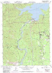
Shasta Dam Quad - Shasta Lake Map
Topographic map, Shasta Dam Quadrangle, California 1969. Area of map includes a portion of Shasta...
2451 miles away
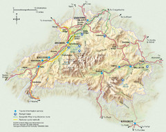
Cairngorms National Park Map
This map shows the boundaries of the Cairngorms National Park, which stretch from Grantown on Spey...
3509 miles away

Waikiki Tourist Map
Tourist map of Waikiki with detail of local hotels
4882 miles away

