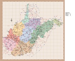
West Virginia Road Map
878 miles away

Proposed Expansion of I-95/395 HOV/Bus/Hot Lanes...
896 miles away
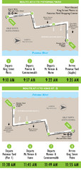
DC Metro Route Between King Street and Potomac...
902 miles away
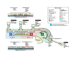
Ronald Reagan Washington National Airport Map
Official Terminal Map of Ronald Reagan Washington National Airport. Shows all areas.
903 miles away
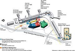
Reagan National Airport DCA Map
903 miles away
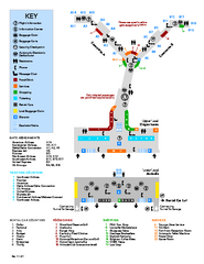
Louisville International Airport Terminal Map
Official Map of the Louisville International Airport. Shows all terminals and facilities.
905 miles away
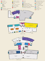
Arkansas International Airport Map
905 miles away
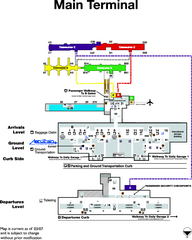
Dulles International Airport Terminal Map
Official Terminal Map of Dulles International Airport. Shows all areas.
905 miles away
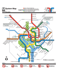
Official Washington DC Metro map
Official color PDF map from the Washington Metropolitan Area Transit Authority. The WMATA operates...
908 miles away
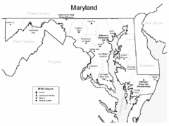
Marylands Airports Map
921 miles away
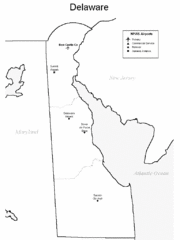
Delaware Airports Map
928 miles away
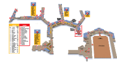
Baltimore Washington International Airport Map
930 miles away
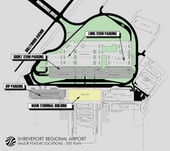
Shreveport Airport Map
945 miles away
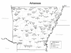
Arkansas Airports Map
947 miles away
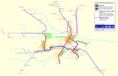
2012 Houston Metro Map
Future rail system to help you move around Houston with ease.
974 miles away

2012 Houston Transit System Map
974 miles away
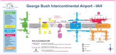
Houston Airport IAH Map
975 miles away
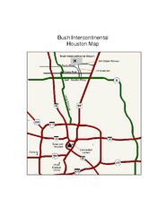
George Bush Intercontinental Airport Terminal Map
Official Terminal Map of George Bush Intercontinental Airport. Shows all areas.
976 miles away
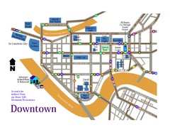
Downtown Johnstown Map
Downtown Johnstown road and bus route map.
991 miles away
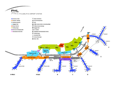
Philadelphia International Airport Terminal Map
Official Map of Philadelphia International Airport. Shows all terminals.
996 miles away
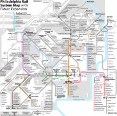
Philadelphia Rail System Map
Philadelphia Rail System Map Version 3.1 with future expansion.
1002 miles away
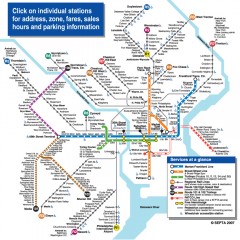
Philadelphia Rail System map
Official SEPTA map of the Philadelphia Rail System. Includes station addresses and fares, sales...
1002 miles away
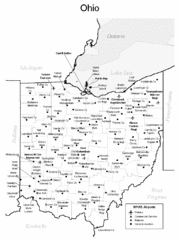
Ohio Airports Map
1009 miles away
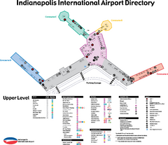
Indianapolis International Airport Terminal Map
Official map of Indianapolis International Airport. Shows all Upper Level Terminals.
1014 miles away
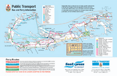
Bermuda Public Transport Map
Bus and ferry map of Bermuda. Shows ferry stops and bus routes.
1016 miles away
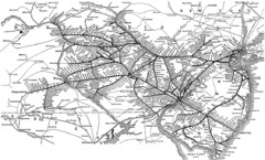
Reading Railroad System Map
Reading Railroad system map
1016 miles away
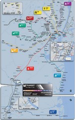
New Jersey Meadowlands Transportation Guide Map
1022 miles away
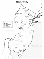
New Jersey Airports Map
1022 miles away
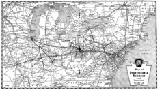
Pennsylvania Railroad System Map
Pennsylvania Railroad system map
1052 miles away
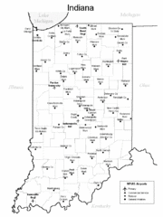
Indiana Airports Map
1055 miles away
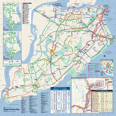
Staten Island Bus Map
Official Bus Map of Staten Island. Shows all routes.
1061 miles away
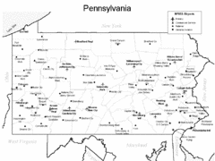
Pennsylvania Airports Map
1062 miles away

Staten Island Subway/Railway Map
1062 miles away
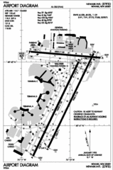
Newark Liberty International Airport Map
1067 miles away
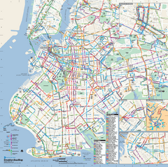
Brooklyn, New York Bus Map
Official MTA Bus Map of Brooklyn, New York. Shows all routes.
1069 miles away
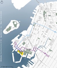
IKEA Brooklyn Map
Location map and map of bus routes and access streets to IKEA in Brooklyn, NY.
1069 miles away
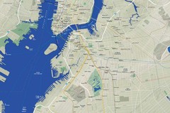
Brooklyn Map
1071 miles away
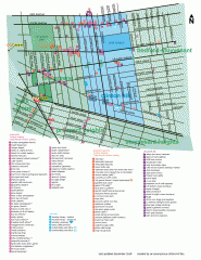
Clinton Hill Neighborhood map
Business and transportation map of the Clinton Hill neighborhood in Brooklyn, New York.
1071 miles away
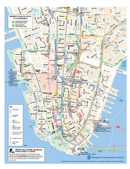
Lower Manhattan Public Transportation Map
Official MTA map of subway, bus, and ferry routes in Lower Manhattan.
1072 miles away
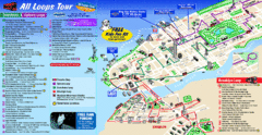
New York City Bus Tour Map
1072 miles away

