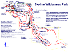
Skyline Wilderness Park Map
Trail map of Skyline Wilderness Park in Napa, California
63 miles away
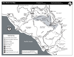
Muir Woods Trail Map
Black and white trail map of Muir Woods National Monument and surrounding Mount Tamalpais State...
63 miles away
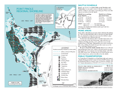
Point Pinole Regional Shoreline Map
66 miles away
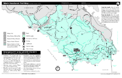
Marin Headlands Trail Map
Trail map of Marin Headlands in Marin County, California. Shows trails with distances by use type...
67 miles away
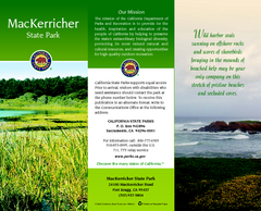
MacKerricher State Park Map
Map of park with detail of trails and recreation zones
67 miles away
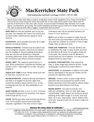
MacKerricher State Park Campground Map
Map of campground region of park with detail of trails and recreation zones
67 miles away
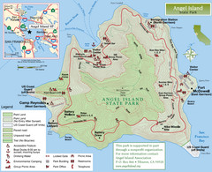
Angel Island State Park Map
Official map of Angel Island State Park in the San Francisco Bay. Shows paved and unpaved roads...
70 miles away
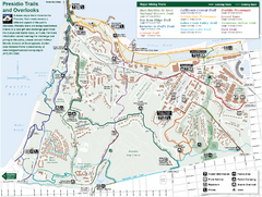
Presidio Trail and Overlook Map
Trail map of the Presidio in San Francisco. Shows 12 major trails (both existing and proposed) and...
72 miles away
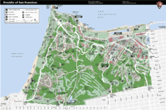
Presidio of San Francisco detail map
Detail map of the Presidio of San Francisco from NPS. Shows hiking/walking trails and POIs such as...
72 miles away
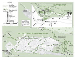
Wildcat Canyon Regional Park Map
72 miles away
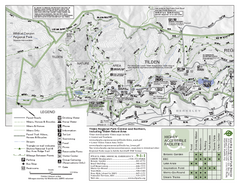
Tilden Regional Park Map - North
75 miles away
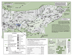
Tilden Regional Park Map - South
77 miles away
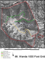
Mt. Wanda Aerial Trail Map
Trail map of Mt. Wanda area in the John Muir National Historic Site.
77 miles away
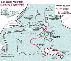
San Bruno Mountain Park Map
Park map of San Bruno Mountain State and County Park. Shows trails in northwest part of park.
78 miles away
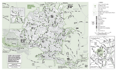
Briones Regional Park Trail Map
Trail map of Briones Regional Park in East Bay.
79 miles away
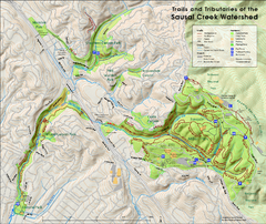
Sausal Creek Watershed Trail Map
Trail map of the Sausal Creek Watershed in Oakland, California. Show trails in Joaquin Miller Park...
81 miles away
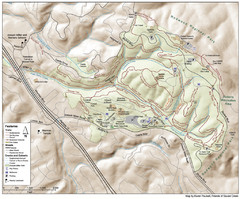
Joaquin Miller Park Map
Trail map of Joaquin Miller Park in Oakland, California. 500 acre park 9 miles from downtown...
82 miles away
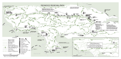
Redwood Regional Park Map
Trail map of Redwood Regional Park in Oakland, California. Shows hiking, horse, and bike trails.
83 miles away
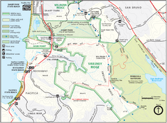
Sweeney Ridge Map
Trail map of Sweeney Ridge, part of the Golden Gate National Recreational Area.
83 miles away

San Pedro Valley Park Map
Park map of San Pedro Valley County Park in San Mateo County, California.
84 miles away
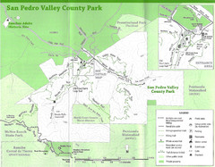
San Pedro Valley County Park Map
Trail map of San Pedro Valley County Park. 1,100 acre park with miles of trails and waterfall...
84 miles away
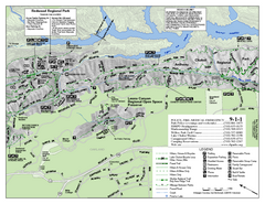
Leona Canyon Regional Open Space Preserve Map
85 miles away
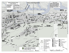
Anthony Chabot Regional Park Map - North
Trail map of the north section of Anthony Chabot Regional Park in the East Bay Hills.
85 miles away
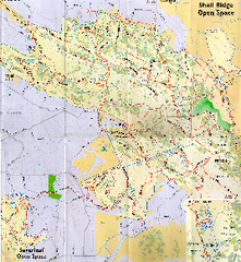
Shell Ridge Open Space Trail Map
Trail map of Shell Ridge Open Space, Walnut Creek's largest open space unit, with trails for...
86 miles away
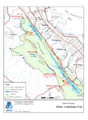
Fifield-Cahill Ridge Trail Map
Trail map of the Fifield-Cahill Ridge Trail in the San Francisco Peninsula Watershed.
88 miles away
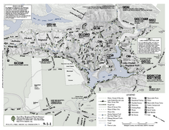
Anthony Chabot Regional Park Map - South
89 miles away
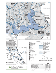
Lake Chabot Trail Map
89 miles away
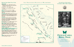
Fifield-Cahill Ridge Trail Map
Trail map and brochure of the Fifield-Cahill Ridge Trail in the San Francisco Peninsula Watershed.
89 miles away
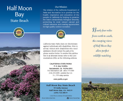
Half Moon Bay State Beach Map
Map of beach with detail of trails and recreation zones
90 miles away
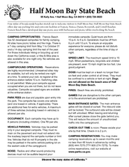
Half Moon Bay State Beach Campground Map
Map of beach with detail of trails and recreation zones
91 miles away
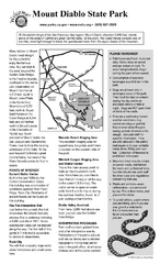
Mount Diablo State Park Campground Map
Map of park with detail of trails and recreation zones
91 miles away

San Mateo County Mid-County Trail Map
Trail map of mid-county trails in San Mateo County, California.
91 miles away
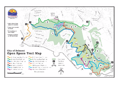
Water Dog Lake Park Trail Map
Trail map of Water Dog Lake Park. Open to mountain biking.
93 miles away
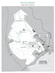
Pulgas Ridge Open Space Preserve Map
Trail map of Pulgas Ridge Open Space Preserve. 366 acres and 6 miles of trails
95 miles away
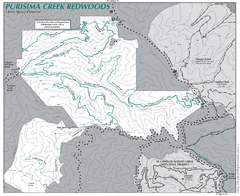
Purisima Open Space Preserve Map
Trail map of Purisima Open Space Preserve. Shows all mountain biking, hiking, and horseback riding...
96 miles away
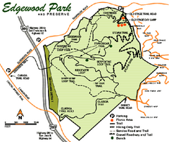
Edgewood County Park Trail Map
Trail map of Edgewood Park and Preserve in Redwood City, California.
96 miles away
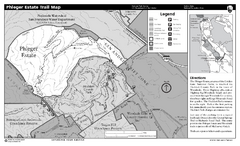
Phleger Estate Trail Map
Trail map of Phleger Estate, part of the Golden Gate National Recreation Area, in Woodside...
97 miles away
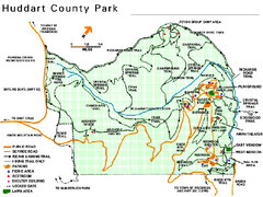
Huddart County Park Map
Trail map of Huddart County Park near Woodside, California.
97 miles away
Old Sacramento State Historic Park Map
Map of park and museum with detail of trails and recreation zones
98 miles away
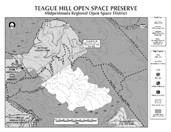
Teague Hill Open Space Preserve Map
Trail map of Teague Hill Open Space Preserve near Woodside, California. Only one trail enters a...
99 miles away

