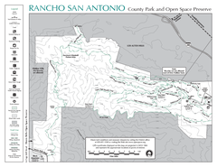
Rancho San Antonio Open Space Preserve Map
Park map of Rancho San Antonio Open Space Preserve near Los Altos, CA. Encompasses 3800 acres and...
25 miles away
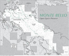
Monte Bello Open Space Preserve Map
Trail map of Monte Bello Open Space Preserve. Covers 3,142 acres and 15.5 miles of trails
25 miles away
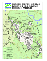
Blithedale Summit Open Space Preserve Map
Trail map of Blithedale Summit Open Space Preserve, Baltimore Canyon Open Space Preserve, and King...
26 miles away
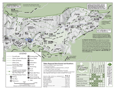
Tilden Regional Park Map - South
26 miles away
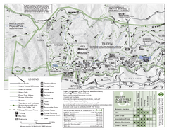
Tilden Regional Park Map - North
26 miles away
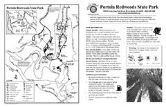
Portola Redwoods State Park Campground Map
Map of campground region of park with detail of trails and recreation zones
26 miles away
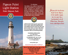
Pigeon Point Light Station State Historic Park Map
Map of park with detail of trails and recreation zones
27 miles away
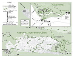
Wildcat Canyon Regional Park Map
28 miles away
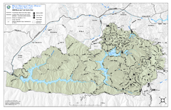
Mt. Tamalpais Watershed Trail Map
Shows roads and trails in the 18,500 Mt. Tamalpais Watershed near Fairfax, California.
28 miles away
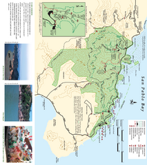
China Camp State Park Map
Trail map of China Camp State Park. Shows trails by use type and all park facilities.
30 miles away
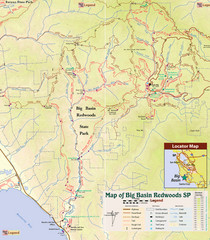
Big Basin Redwoods State Park Trail Map
Topographical trail map of Big Basin Redwoods State Park. Shows roads, trails, natural and other...
30 miles away
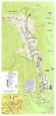
Pleasanton Ridge Regional Park Map
30 miles away

Santa Margarita Island, Santa Venetia Marsh, and...
Park map of Santa Margarita Island Open Space Preserve, Santa Venetia Marsh Open Space Preserve...
31 miles away
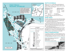
Point Pinole Regional Shoreline Map
31 miles away
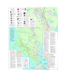
Marin Bicycle Map - Side B
Bike route map of Marin County, California. Shows primary and secondary road routes, paved and...
31 miles away
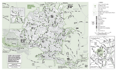
Briones Regional Park Trail Map
Trail map of Briones Regional Park in East Bay.
31 miles away
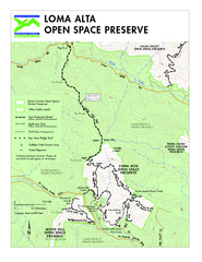
Loma Alta Preserve Map
Topographical trail map of Loma Alta Preserve in Marin County, California
32 miles away
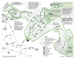
Mission Peak Preserve Map
Park map of Mission Peak Regional Preserve in Fremont, California. Topo map shows trails and trail...
33 miles away
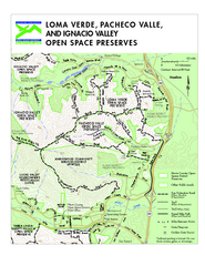
Loma Verde, Pacheco Valley, Lucas Valley and...
33 miles away
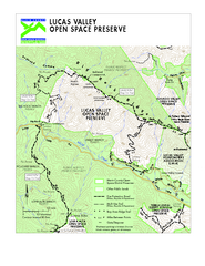
Lucas Valley Open Space Preserve Map
34 miles away
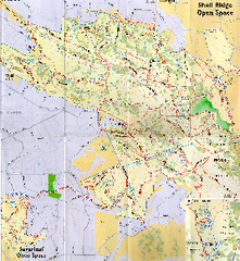
Shell Ridge Open Space Trail Map
Trail map of Shell Ridge Open Space, Walnut Creek's largest open space unit, with trails for...
34 miles away
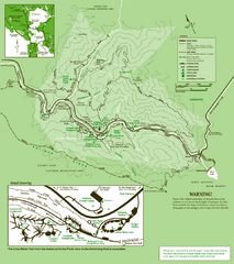
Samuel Taylor State Park Trail Map
Trail map of Samuel Taylor State Park near Lagunitas, CA.
34 miles away
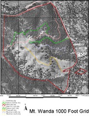
Mt. Wanda Aerial Trail Map
Trail map of Mt. Wanda area in the John Muir National Historic Site.
34 miles away
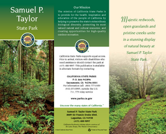
Samuel P. Taylor State Park Map
Map of park with detail of trails and recreation zones
35 miles away
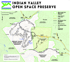
Indian Valley Open Space Preserve Map
35 miles away
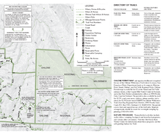
Sunol Regional Wilderness Trail Map - East
Trail map of eastern portion of Sunol Regional Wilderness in Sunol, California.
36 miles away
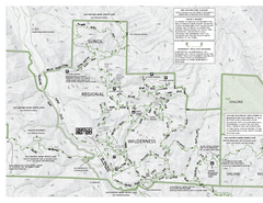
Sunol Regional Wilderness Trail Map - West
Trail map of western portion of Sunol Regional Wilderness in Sunol, California.
36 miles away
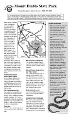
Mount Diablo State Park Campground Map
Map of park with detail of trails and recreation zones
37 miles away

Mt. Burdell Open Space Preserve Map
Trail map of Mt. Burdell Open Space Preserve and Olompali State Historic Park in Novato, Marin...
40 miles away
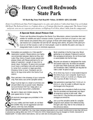
Henry Cowell Redwoods State Park Campground Map
Map of campground region of park with detail of trails and recreation zones
40 miles away
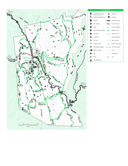
Joseph D. Grant County Park Map
Trail map of Joseph D Grant County Park in Santa Clara County, California
46 miles away
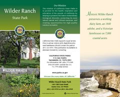
Wilder Ranch State Park Map
Map of park with detail of trails and recreation zones
46 miles away
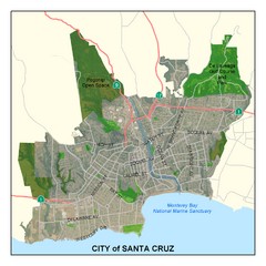
Santa Cruz City Limits Map
Map shows the city limits boundries of Santa Cruz, California
47 miles away
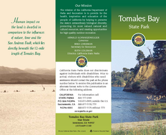
Tomales Bay State Park Map
Map of park with detail of trails and recreation zones
48 miles away
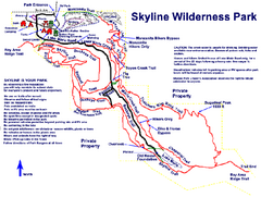
Skyline Wilderness Park Map
Trail map of Skyline Wilderness Park in Napa, California
50 miles away
Petaluma Adobe State Historic Park Map
Map of park with detail of trails and recreation zones
50 miles away
Sonoma State Historic Park Map
Map of park with detail of trails and recreation zones
50 miles away
Jack London State Historic Park Map
Map of park with detail of trails and recreation zones
54 miles away
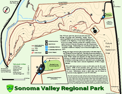
Sonoma Valley Regional Park Map
Trail map of 202 acre Sonoma Valley Regional Park.
54 miles away
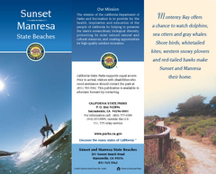
Sunset & Manresa State Beaches Map
Map of beaches and parks with detail of trails and recreation zones
58 miles away

