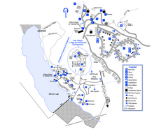
Little Ocmulgee State Park Map
Map of park with detail of trails and recreation zones
215 miles away
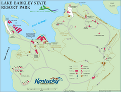
Lake Barkley State Resort Park Map
Map of the trails and facilities of Lake Barkley State Resort Park.
220 miles away
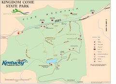
Kingdom Come State Park Map
Trail map for Kingdom Come State Park.
221 miles away
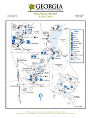
Magnolia Springs State Park Map
Map of park with detail of trails and recreation zones
223 miles away
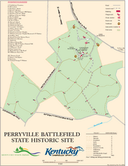
Perryville Battlefield State Historic Site Map
Map of trails and interpretive markers for the historical site of Perryville Battlefield.
225 miles away
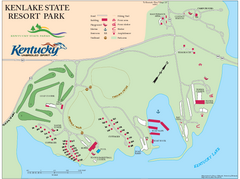
KenLake State Resort Park Map
Map of trails, facilities, and golf course for the KenLake State Resort Park located on the mid...
226 miles away
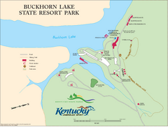
Buckhorn Lake State Resort Park Map
Map of Trails and Facilities of Buckhorn Lake State Resort Park.
227 miles away
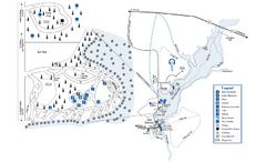
George L. Smith State Park Map
Map of park with detail of trails and recreation zones
227 miles away
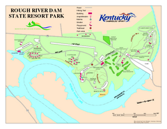
Rough River Dam State Resort Park Map
Map of trails, facilities and golf course in Rough River Dam State Resort Park.
228 miles away
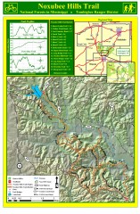
Noxubee Hills Trail Map
Shows singletrack and doubletrack trails in the Noxubee Hill trail system in Tombigbee National...
231 miles away
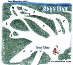
Hawksnest Golf & Ski Resort Ski Trail Map
Trail map from Hawksnest Golf & Ski Resort.
238 miles away
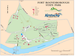
Fort Boonesborough State Park Map
Map of trails, historical sites and facilities at Fort Boonesborough State Park.
243 miles away
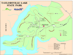
Taylorsville Lake State Park Map
Map of trails and facilities in Taylorsville Lake State Park.
246 miles away
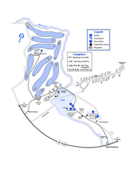
Gordonia-Alatamaha State Park Map
Map of park with detail of trails and recreation zones
247 miles away
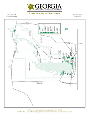
Reed Bingham State Park Map
Map of park with detail of trails and recreation zones
249 miles away
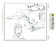
General Coffee State Park Map
Map of park with detail of trails and recreation zones
251 miles away
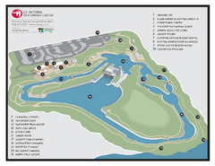
US National Whitewater Center Map
Facility map of the US National Whitewater Center in Charlotte, North Carolina
253 miles away
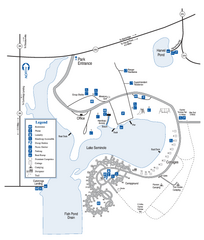
Seminole State Park Map
Map of park with detail of trails and recreation zones
253 miles away
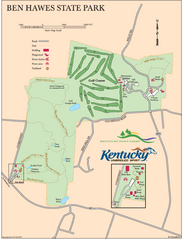
Ben Hawes State Park Map
Map of trails, facilities and golf course in Ben Hawes State Park.
254 miles away
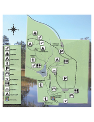
Falling Waters State Recreation Area Map
Map of park with detail of trails and recreation zones
257 miles away
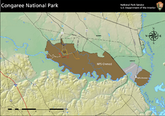
Congaree National Park Official Park Map
Official NPS map of Congaree National Park. Map shows all areas. Congaree National Park is open...
265 miles away
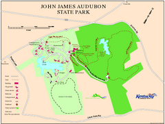
John James Audubon State Park Map
Map of trails, facilities and historical sites in John James Audubon State Park.
268 miles away
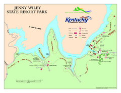
Jenny Wiley State Resort Park Map
Map of trails and facilities of Jenny Wiley State Resort Park.
269 miles away
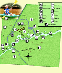
Blackwater River State Park Map
Map of park with detail of various recreation zones
273 miles away
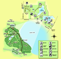
Alfred B. Maclay Gardens State Park Map
Map of park with detail of trails and recreation zones
278 miles away
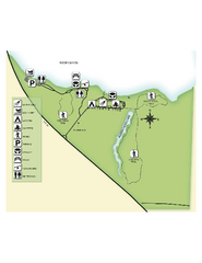
Fred Gannon Rocky Bayou State Park Map
Map of park with detail of trails and recreation zones
280 miles away
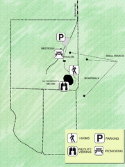
Letchworth-Love Mounds Map
Map of park with detail of trails and recreation zones
282 miles away
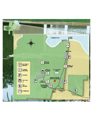
Eden Gardens State Park Map
Map of park with detail of gardens
285 miles away
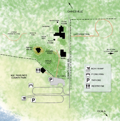
Marjorie Kinnan Rawlings Historic State Park Map
Map of park with detail of trails and recreation zones
285 miles away
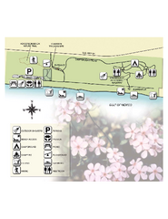
Henderson State Park Map
Map of park with detail of trails and recreation zones
288 miles away
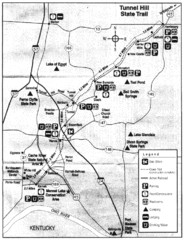
Tunnel Hill State Trail, Illinois Site Map
289 miles away
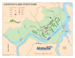
Grayson Lake State Park Map
Map of trails, facilities and golf course in Grayson Lake State Park.
290 miles away
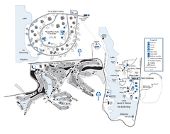
Laura S. Walker State Park Map
Map of park with detail of trails and recreation zones
292 miles away
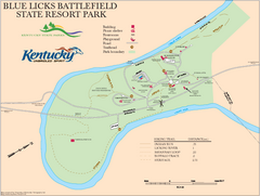
Blue Licks Battlefield State Resort Park Map
Map of Trails and Facilities in Blue Licks Battlefield State Resort Park.
292 miles away
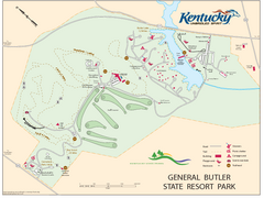
General Butler State Resort Park Map
Map of trails, facilities and golf course in General Butler State Resort Park.
293 miles away
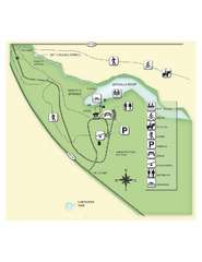
Edward Ball Wakulla Springs State Park Map
Map of park with detail of trails and recreation zones
298 miles away

Fort McAllister Historic Park Map
Map of park with detail of trails and recreation zones
298 miles away
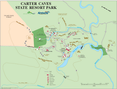
Carter Caves State Resort Park Map
Map of trails and facilities of Carter Caves State Resort Park.
299 miles away
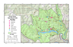
Carter Caves State Resort Park Topographic Trails...
Topographic map of the trails of Carter Caves State Resort Park.
299 miles away
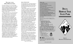
Delta Heritage Trail State Park Map
Map of Arkansas Historical Delta Heritage Trail both completed and uncompleted sections.
300 miles away

