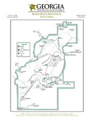
Black Rock Mountain State Park Map
Map of park with detail of trails and recreation zones
267 miles away
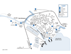
Moccasin Creek State Park Map
Map of park with detail of trails and recreation zones
270 miles away
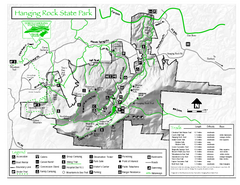
Hanging Rock state park Map
Interior color map of Hanging Rock State Park.
272 miles away
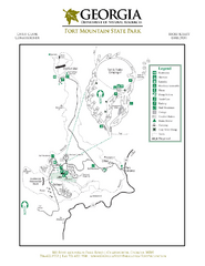
Fort Mountain State Park Map
Map of park with detail of trails and recreation zones
274 miles away
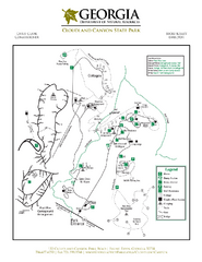
Cloudland Canyon State Park Map
Map of park with detail of trails and recreation zones
276 miles away
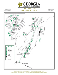
Amicalola Falls State Park Map
Map of park with detail of trails and recreation zones
287 miles away
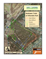
Rocktown Trail Map
Aerial trail map of Rocktown trails at Hillandale Park in Harrisonburg, VA
292 miles away
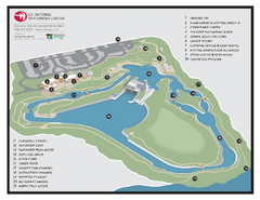
US National Whitewater Center Map
Facility map of the US National Whitewater Center in Charlotte, North Carolina
299 miles away
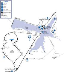
James H. Floyd State Park Map
Map of park with detail of trails and recreation zones
301 miles away
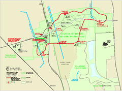
Guilford Courthouse National Military Park...
Official NPS map of Guilford Courthouse National Military Park in North Carolina. Open All Year 8...
302 miles away
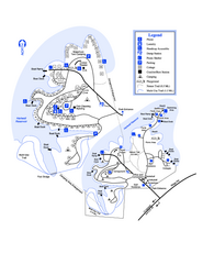
Hart State Park Map
Map of park with detail of trails and recreation zones
309 miles away
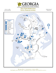
Red Top Mountain State Park Map
Map of park with detail of trails and recreation zones
316 miles away
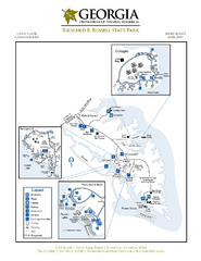
Richard B. Russell State Park Map
Map of park with detail of trails and recreation zones
325 miles away
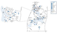
Fort Yargo State Park Map
Map of park with detail of trails and recreation zones
330 miles away

Fountain Lakes Trail Map
Aerial map of trails at Fountain Lakes Park, 145 acres
337 miles away
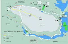
Stone Mountain Park Trail map
Trail map of Stone Mountain Park near Atlanta, GA
340 miles away
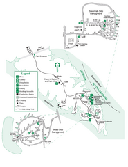
Bobby Brown State Park Map
Map of park with detail of trails and recreation zones
341 miles away

Oak Ridge Forest Preserve Map
Trail map of Oak Ridge Forest Preserve in Winnebago County, Illinois.
344 miles away
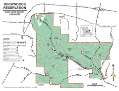
Map of Rockwoods Reservation, MO
Natural Area and hiking trails near St. Louis, MO.
345 miles away
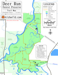
Deer Run Forest Preserve Map
Trail map of Deer Run Forest Preserve in Winnebago County, Illinois.
345 miles away
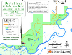
Distillery Conservation Area Map
Trail map of Distillery and Anderson Bend Conservation Areas in Boone County, IL.
345 miles away
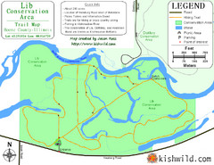
Lib Conservation Area Map
Trail map of Lib Conservation Area in Boone County, Illinois.
345 miles away
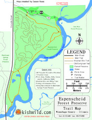
Espenscheid Forest Preserve Map
Trail map of Espenscheid Forest Preserve in Winnebago county, Illinois.
345 miles away
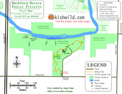
Rockford Rotary Forest Preserve Map
Trail map of Rockford Rotary Forest Preserve in Winnebago County, IL.
345 miles away
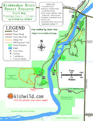
Kishwaukee River Forest Preserve Map
Trail map of Kishwaukee River Forest Preserve in Winnebago county, IL.
346 miles away
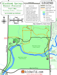
Blackhawk Springs Forest Preserve Map
Trail map of Blackhawk Springs Forest Preserve in Winnebago County, Illinois.
346 miles away
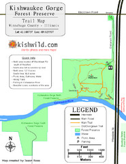
Kishwaukee Gorge Forest Preserve Map
Trail map of Kishwaukee Gorge Forest Preserve in Winnebago County, Illinois.
347 miles away

Panola Mountain State Park Map
Map of park with detail of trails and recreation zones
352 miles away
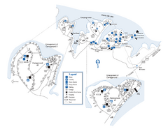
Elijah Clark State Park Map
Map of park with detail of trails and recreation zones
352 miles away
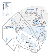
Hard Labor Creek State Park Map
Map of park with detail of trails and recreation zones
352 miles away
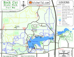
Rock Cut State Park Map
Trail map of Rock Cut State Park in Winnebago County, Illinois.
353 miles away
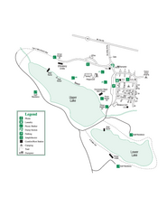
John Tanner State Park Map
Map of park with detail of trails and recreation zones
357 miles away
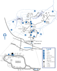
A. H. Stephens Historic Park Map
Map of park with detail of trails and recreation zones
364 miles away
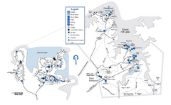
Mistletoe State Park Map
Map of park with detail of trails and recreation zones
366 miles away
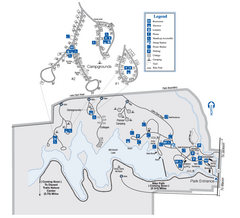
Indian Springs State Park Map
Map of park with detail of trails and recreation zones
379 miles away
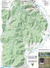
Ellicottville Area Trail Map
Shows mountain biking trails in the Holiday/Holimont/McCarty Hill/Rock City area south of...
381 miles away
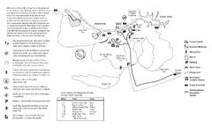
Mason Neck State Park Map
Trail map of Mason Neck State Park near Lornton, Virginia. Shows approx. 3 miles of hiking trails...
383 miles away
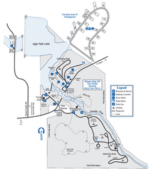
High Falls State Park Map
Map of park with detail of trails and recreation zones
383 miles away
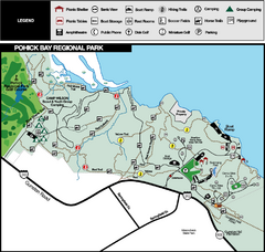
Pohick Bay Regional Park Map
Park map of Pohick Bay Regional Park near Lorton, VA on the Potomac River. Shows trails and...
383 miles away

