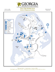
Red Top Mountain State Park Map
Map of park with detail of trails and recreation zones
259 miles away
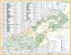
Pisgah National Forest and Nantahala National...
Pisgah National Forest and Nantahala National Forest recreation map. Contains list of all...
260 miles away
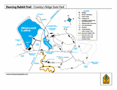
Dancing Rabbit Trail - Crowley's Ridge State...
Trail Map for Dancing Rabbit Trail in Crowley's Ridge State Park showing Walcott Lake, hiking...
261 miles away
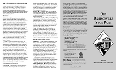
Old Davidsonville State Park Map
Map of Old Davidsonville State Park historical sites, amenites and other park sites.
264 miles away
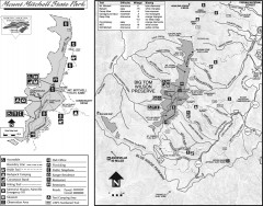
Mount Mitchell State Park map
Official map of Mt. Mitchell State Park in North Carolina. Park contains the 6,684 ft summit of...
267 miles away
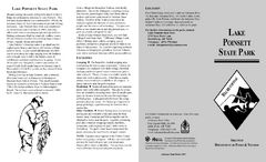
Lake Poinsett State Park Map
Map of Lake Poinsett State Park showing Great Blue Heron Trail , boat ramps and park amenities.
273 miles away
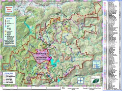
DuPont State Forest Trail map
Trail map of DuPont State Forest. Shows all trails with mileages. From dupontforest.com: "...
273 miles away
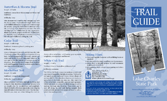
Lake Charles State Park Trail Map
Map of trails for Lake Charles State Park including othe park sites and amenities.
278 miles away
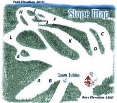
Hawksnest Golf & Ski Resort Ski Trail Map
Trail map from Hawksnest Golf & Ski Resort.
282 miles away
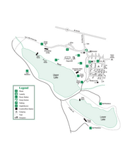
John Tanner State Park Map
Map of park with detail of trails and recreation zones
287 miles away
Village Creek State Park Trail Map
Trail map for hiking, bicycles and horses in Village Creek State Park.
289 miles away
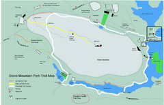
Stone Mountain Park Trail map
Trail map of Stone Mountain Park near Atlanta, GA
294 miles away
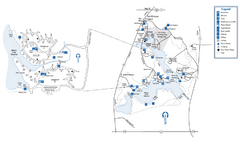
Fort Yargo State Park Map
Map of park with detail of trails and recreation zones
296 miles away
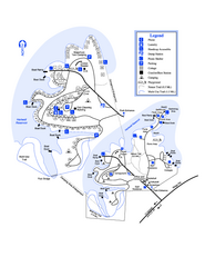
Hart State Park Map
Map of park with detail of trails and recreation zones
300 miles away
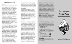
Jacksonport State Park Map
Map of Jacksonport State Park showing historical sites, trails, amenities and river access.
300 miles away

Panola Mountain State Park Map
Map of park with detail of trails and recreation zones
304 miles away
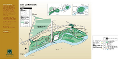
Side Cut Metropark Map
312 miles away
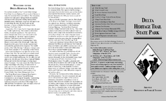
Delta Heritage Trail State Park Map
Map of Arkansas Historical Delta Heritage Trail both completed and uncompleted sections.
313 miles away
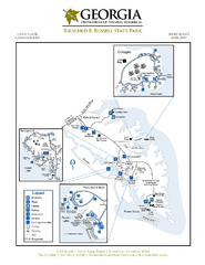
Richard B. Russell State Park Map
Map of park with detail of trails and recreation zones
317 miles away
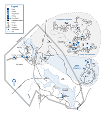
Hard Labor Creek State Park Map
Map of park with detail of trails and recreation zones
318 miles away
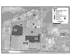
Ottawa National Wildlife refugee Map
328 miles away
Bobby Brown State Park Map
Map of park with detail of trails and recreation zones
334 miles away
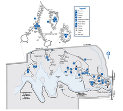
Indian Springs State Park Map
Map of park with detail of trails and recreation zones
334 miles away
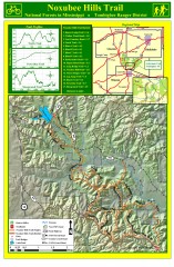
Noxubee Hills Trail Map
Shows singletrack and doubletrack trails in the Noxubee Hill trail system in Tombigbee National...
335 miles away
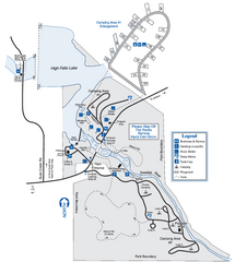
High Falls State Park Map
Map of park with detail of trails and recreation zones
337 miles away

Oak Ridge Forest Preserve Map
Trail map of Oak Ridge Forest Preserve in Winnebago County, Illinois.
343 miles away
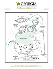
F.D. Roosevelt State Park Map
Map of park with detail of trails and recreation zones
343 miles away
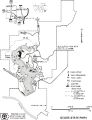
Geode State Park Map
Map of trails, lake depths and park facilities for Geode State Park.
343 miles away
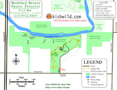
Rockford Rotary Forest Preserve Map
Trail map of Rockford Rotary Forest Preserve in Winnebago County, IL.
343 miles away
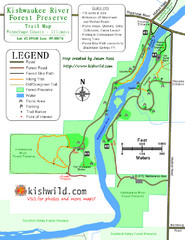
Kishwaukee River Forest Preserve Map
Trail map of Kishwaukee River Forest Preserve in Winnebago county, IL.
344 miles away
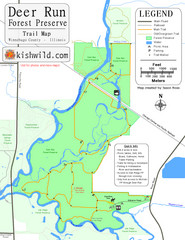
Deer Run Forest Preserve Map
Trail map of Deer Run Forest Preserve in Winnebago County, Illinois.
344 miles away
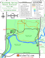
Blackhawk Springs Forest Preserve Map
Trail map of Blackhawk Springs Forest Preserve in Winnebago County, Illinois.
344 miles away
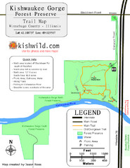
Kishwaukee Gorge Forest Preserve Map
Trail map of Kishwaukee Gorge Forest Preserve in Winnebago County, Illinois.
344 miles away
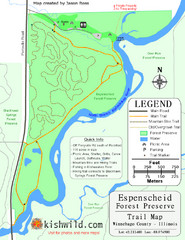
Espenscheid Forest Preserve Map
Trail map of Espenscheid Forest Preserve in Winnebago county, Illinois.
344 miles away
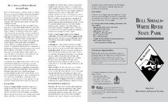
Bull Shoals White River State Park Detail Map
Bull Shoals - White River State Park Area Map including amenities.
345 miles away
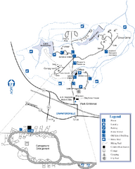
A. H. Stephens Historic Park Map
Map of park with detail of trails and recreation zones
345 miles away
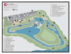
US National Whitewater Center Map
Facility map of the US National Whitewater Center in Charlotte, North Carolina
346 miles away
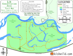
Lib Conservation Area Map
Trail map of Lib Conservation Area in Boone County, Illinois.
346 miles away
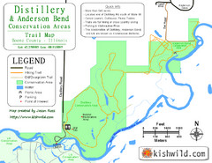
Distillery Conservation Area Map
Trail map of Distillery and Anderson Bend Conservation Areas in Boone County, IL.
346 miles away
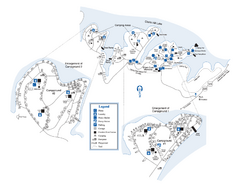
Elijah Clark State Park Map
Map of park with detail of trails and recreation zones
347 miles away

