
Washington Park Arboretum Trail Map
Trail map of Washington Park Arboretum in Seattle.
203 miles away
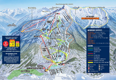
Revelstoke Ski Trail Map 2009-2010
Official ski trail map of Revelstoke Mountain Resort from the 2009-2010 season.
203 miles away
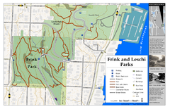
Frink Park and Leschi Park Map
205 miles away
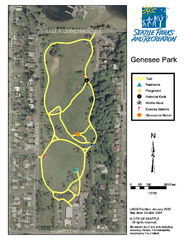
Genesee Park Trail Map
Trail map of Genesee Park in Mt Baker, Seattle, WA
207 miles away
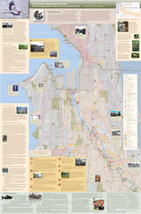
Duwamish River Community Map
This is a printed map, 32" X 40", created for the Duwamish River Cleanup Coalition in...
208 miles away
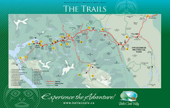
Bella Coola Valley Trail Map
Shows trails in region around Bella Coola, Hagensborg, and Firvale, British Columbia. Shows some...
208 miles away
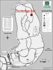
Seward Park Trails Map
Map of the trails in Seward Park, a 300-acre park on a peninsula in the south Seattle, WA area.
209 miles away
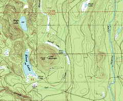
Fuller Mountain Topo Map
Fuller Mountain map with lakes, mountains and elevations identified.
210 miles away
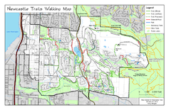
Newcastle Trails Trail Map
Trail map of existing and proposed trails in Newcastle, WA
211 miles away
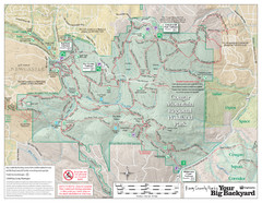
Cougar Mountain Park Trail Map
Trail map of Cougar Mountain Regional Wildland Park, part of the "Issaquah Alps"
211 miles away
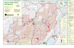
Tahuya State Forest Trail Map
Shows trails of Tahuya State Forest. Show roads, doubletrack, singletrack, and 4WD only.
213 miles away
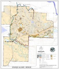
Snoqualmie Trail Map
Shows both soft surface and paved trails for biking, running/hiking/wailking, and horseback riding
213 miles away
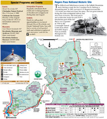
Glacier National Park and Revelstoke National...
Official park map of Glacier National Park and Revelstoke National Park in British Columbia, Canada.
222 miles away
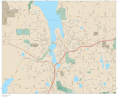
Olympia, Washington City Map
243 miles away
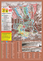
Kicking Horse Ski Trail Map 2009-10
Ski trail map of Kicking Horse ski area for the 2009-2010 season. Features 3 alpine bowls and 70...
251 miles away
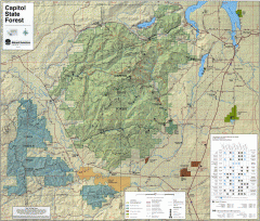
Capitol State Forest Map
Shows all trails in Capitol State Forest and surrounding area, including Lower Chehalis State...
251 miles away
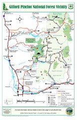
Gifford Pinchot National Forest Vicinity Map
Gifford Pinchot National Forest and surrounding areas including Mt. St Helens.
264 miles away
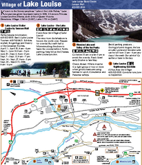
Lake Louise Area Map
Map of Lake Louise with detail of trails and recreation zones
289 miles away
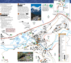
Banff National Park Map
Map of park with detail of trails and recreation zones
297 miles away
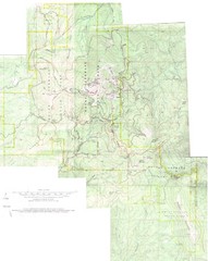
Mount Spokane Trail Map
Contour map of Mount Spokane
311 miles away
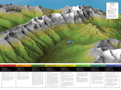
Island Lake Hiking Map
Hiking trail map of Island Lake area near Fernie, BC
342 miles away
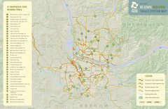
Bi-State Regional Trail System Plan Map
Shows plan for developing 37 Bi-State Regional Trails
344 miles away
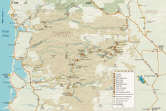
Tillamook State Forest Map
Recreation map of Tillamook State Forest. Over 60 miles of non-motorized trails and 150 miles of...
347 miles away
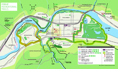
Fernie Town Trails Map
Trail map of recreational trails in and around town of Fernie, BC
347 miles away
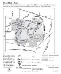
Powell Butte Nature Park Trail Map
Trail map of Powell Butte Nature Park. Shows over 9 miles of trails
351 miles away
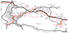
Trail of the Coeur d'Alenes Map
Shows the Trail of the Coeur d'Alenes, a 72 mile bike path that follows the Union Pacific...
358 miles away
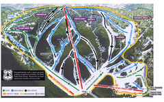
Bluewood Ski Trail Map
381 miles away
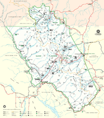
Glacier National Park Trail Map
Trails campgrounds and ranger stations.
414 miles away
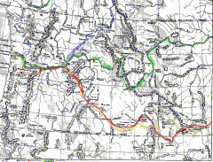
Oregon Trail Map
Old sketch map with modern cities, forts/ trading posts, and missions/churches superimposed. Shows...
427 miles away
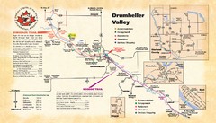
Drumheller Valley Tourist Map
Tourist map shows trails and points of interest of area around Drumheller, Alberta.
439 miles away
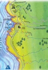
Cape Perpetua Map
439 miles away
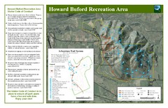
Howard Buford Recreational Area Trails Map
Map of the Howard Buford Recreational Area trails, roads, picnic areas, bathrooms, attractions.
442 miles away
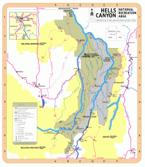
Hells Canyon National Recreation Area Map
Official Forest Service map of the Hells Canyon National Recreation Area. Shows roads, trails...
443 miles away
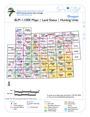
Oregon Hunting Unit/BLM Map Index
This map shows which BLM land ownership maps cover all hunting units in Oregon. Color indicates...
444 miles away

Eugene Parks map
City of Eugene Parks Map. Includes streets and trails.
450 miles away
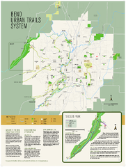
Bend urban trails system Map
The Bend Urban Trail System currently includes approximately 48 developed miles of trails which...
454 miles away
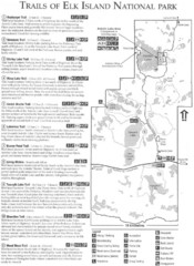
Elk Island National Park Trail Map
Map of hiking trails of Elk Island National Park, Alberta
468 miles away
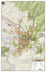
Missoula Bike Trails Map
Road and Mt. Bike trails with a bit of topology near Missoua
472 miles away
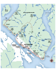
Ketchikan Area Map
Map of Ketchikan, Alaska and Revillagigedo Island. Shows trails, lakes, parks, and main roads.
500 miles away
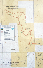
Grizzly Peak Trail Map
Topographic trail map of Grizzly Peak near Ashland, Oregon. Shows trails and distances. From...
573 miles away

