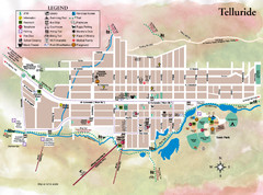
Telluride Town Map
320 miles away
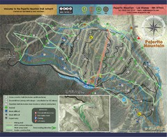
Pojarito Mountain bike Trail Map
Bike trail for Pojarito Mountain, New Mexico
326 miles away
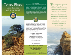
Torrey Pines State Park Map
Map of park with detail of trails and recreation zones
327 miles away
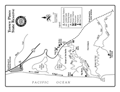
Torrey Pines State Reserve Trail Map
Map of park with detail of trails and recreation zones
327 miles away
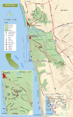
Torrey Pines State Beach and Reserve Map
Topo map of Torrey Pines State Beach and Reserve near San Diego, CA. Rated the #9 beach in America...
327 miles away
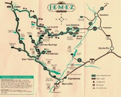
Jemez Mountains, New Mexico Tourist Map
328 miles away
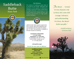
Saddleback Butte State Park Map
Map of park with detail of trails and recreation zones
329 miles away
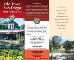
Old Town San Diego State Historic Park Map
Map of park with detail of trails and recreation zones
329 miles away
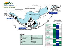
Ridgway State Park Map
Map of park with detail of recreation zones
336 miles away
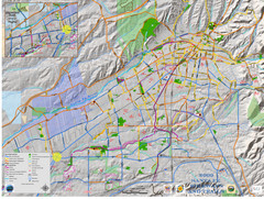
Santa Fe Bike and Trail Map
Trail and bikeway map of Santa Fe, New Mexico
349 miles away
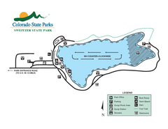
Sweitzer Lake State Park Map
Map of park with detail of recreation zones
350 miles away
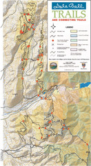
Dale Ball Trail Map
Map of the Dale Ball Trail system includes 22.2 miles of hiking and mountain biking trails that...
352 miles away
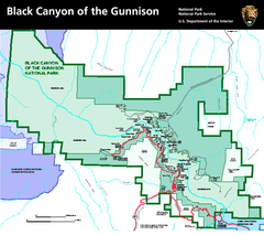
Black Canyon of the Gunnison National Park Map
Official NPS map of Black Canyon of the Gunnison in Colorado. Shows all areas including the South...
355 miles away

Los Angeles State Historic Park Map
Map of park with detail of trails and recreation zones
358 miles away
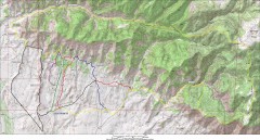
Fruita 18 Road Trail Map
Mountain biking trail map of the 18 Road area in Fruita, CO including Chutes & Ladders, Zipity...
365 miles away
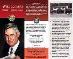
Will Rogers State Historic Park Map
Map of park with detail of trails and recreation zones
374 miles away
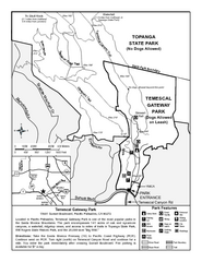
Temescal Canyon Trail Map
Trail map of Temescal Gateway Park, Temescal Canyon, and adjoining section of Topanga State Park...
375 miles away
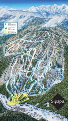
Sipapu Ski Trail Map
Official ski trail map of Sipapu ski area from the 2007-2008 season.
376 miles away
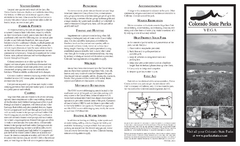
Vega State Park Map
Map of park with detail of recreation zones and campgrounds
386 miles away
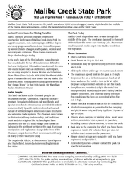
Malibu Creek State Park Campground Map
Map of campground region of park with detail of trails and recreation zones
386 miles away
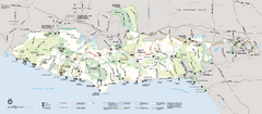
Santa Monica Mountains National Recreation Area...
Map of the entire Santa Monica Mountains National Recreation Area
387 miles away
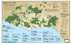
Santa Monica Mountains Area Trail map
Trail map of the Santa Monica Mountains National Recreation Area. Highlights information about...
387 miles away
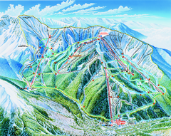
Taos Ski Valley Trail map
Official ski map of Taos Ski Valley. 12 lifts servicing 1,294 acres.
389 miles away
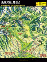
Gunnison Proposed Trails Map
Shows proposed trails from Gunnison, Colorado to Crested Butte, Colorado
390 miles away
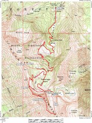
Mount Timpanogos Trail Map
Trail map of Mount Timpanogos 11,749 feet, in the Mount Timpanogos Wilderness Area, Utah. One of...
390 miles away
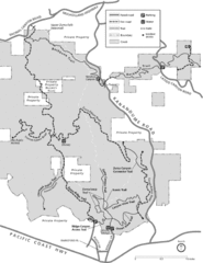
Zuma Trancas Canyon Map
Trail map of Zuma Canyon and Trancas Canyon near Malibu, CA in the Santa Monica Mountains. End of...
391 miles away
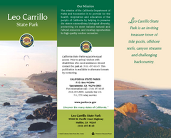
Leo Carrillo State Park Map
Map of park with detail of trails and recreation zones
398 miles away
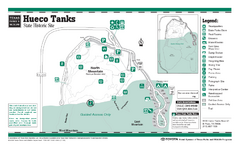
Hueco Tanks, Texas State Park Facility and Trail...
398 miles away
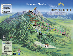
Crested Butte Mountain Resort Summer Trail Map
Official Crested Butte Mountain Resort summer trail map. Created by James Niehues.
400 miles away
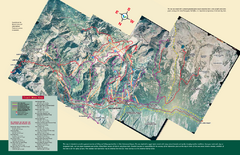
Snowbird/Alta area Summer Mountain Biking/Hiking...
Map showing all hiking and mountain biking trails in the Alta/Snowbird area.
401 miles away
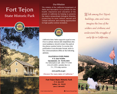
Fort Tejon State Historic Park Map
Map of park with detail of trails and recreation zones
404 miles away
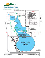
San Luis State Park Map
Map of park with detail of recreation zones
404 miles away

Great Sand Dunes National Park and Preserve map
Official NPS map of Great Sand Dunes National Park and Preserve. Park includes the tallest dune in...
415 miles away
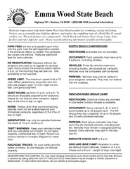
Emma Wood State Beach Campground Map
Map of campground region of park with detail of trails and recreation zones
418 miles away
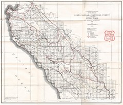
Santa Barbara National Forest 1924 Map
Los Padres National Forest Map. Prior to 1936 it was known as the Santa Barbara National Forest.
420 miles away
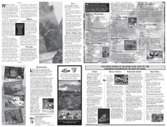
Arkansas Headwaters Recreation Area Map
Map of recreation area with detail of various recreation zones and lakes
423 miles away
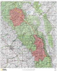
Sierra High Route Map
Guide to the Sierra High Route, one of the most challenging treks in the Sierras
427 miles away
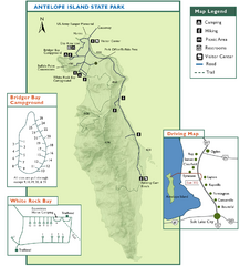
Antelope Island State Park Map
Trail map of Antelope Island State Park in the Great Salt Lake, Utah. Shows campgrounds.
428 miles away
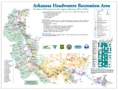
Arkansas Headwaters Recreation Area map
Detailed map for Arkansas Headwaters Recreation Area in Colorado
432 miles away
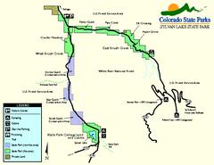
Sylvan Lake State Park Map
Map of park with detail of recreation zones and campgrounds
436 miles away

