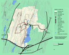
Wells State Park winter trail map
Winter use trail map of Wells State Park in Massachusetts.
67 miles away
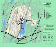
Wells State Park trail map
Trail map of Wells State Park in Massachusetts.
67 miles away
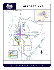
Albany International Airport Map
Official Map of the Albany International Airport in New York. Shows all terminals.
68 miles away
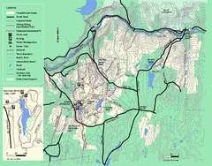
Wendell State Forest trail map
Trail map of Wendell State Forest in Massachusetts.
68 miles away
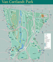
Van Cortlandt Park Trail Map
Trail map of Van Cortlandt Park in the Bronx. Covers 573 acres.
71 miles away
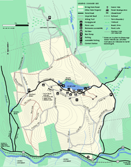
Erving Summer trail map
Summer use map of Erving State Park in Massachusetts.
72 miles away
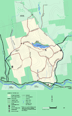
Erving State Park winter use map
Winter use map of the Erving State Park in Massachusetts
72 miles away
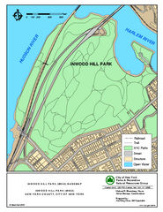
Inwood Hill Park Trail Map
Trail map of Inwood Hill Park located at the extreme northern tip of Manhattan. 136 acres.
74 miles away
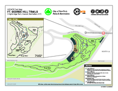
Highbridge Park mountain bike trail map
Mountain biking trail network opened in May 2007. Only mountain biking trails in Manhattan. 25...
75 miles away
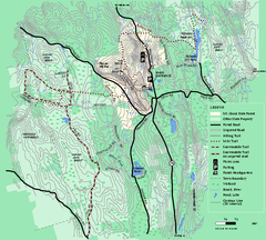
Mt. Grace State Forest trail map
Trail map of Mt. Grace State Forest near Warwick, Massachusetts.
76 miles away
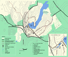
Moore State Park trail map
Trail map of Moore State Park in Massachusetts.
77 miles away
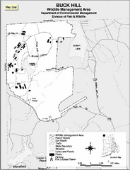
Buck Hill Wildlife Management Area Map
80 miles away
Riverside Park Map
Map of Riverside Park, New York. Illustrates all recreational activities, trails, bus stops and...
80 miles away
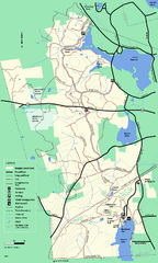
Douglas State Forest trail map
Trail map of the Douglas State Forest in Massachusetts
80 miles away
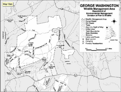
George Washington Wildlife Management Area Map
80 miles away
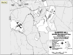
Durfee Hill Wildlife Management Area Map
81 miles away
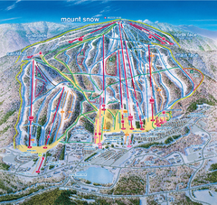
Mount Snow Ski Trail Map - main face
Trail map of main face of Mt Snow ski area near Wilmington, Vermont
81 miles away
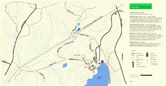
Douglas State Park Detail Map
81 miles away
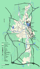
Otter River State Forest summer trail map
Summer trail map of the Otter River State Forest area in Massachusetts.
83 miles away
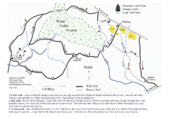
Sprague Farm - Glocester Land Trust Map
83 miles away
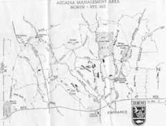
Arcadia Management Area State Map
Trail map for Arcadia Management Area in Rhode Island
83 miles away
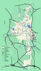
Otter River State Forest winter trail map
Winter usage trail map for Otter River State Park in Massachusetts.
83 miles away
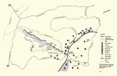
Purgatory Chasm State Reservation trail map
Trail map of Purgatory Chasm State Reservation in Massachusetts.
86 miles away
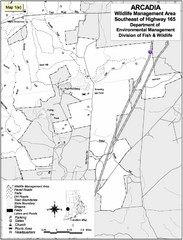
Arcadia Wildlife Management Area Map - Southeast
Reference map shows portion of Arcadia Wildlife Management Area, Rhode Island southeast of Highway...
86 miles away
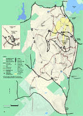
Wachusett Mountain State Reservation trail map
Trail map of Wachusett Mountain State Reservation in Massachusetts.
86 miles away
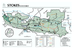
Stokes State Forest map
Trail map of Stokes State Park in New Jersey.
88 miles away
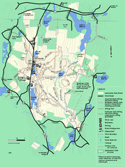
Leominster State Forest trail map
Trail map of Leominster State Forest in Massachusetts
89 miles away
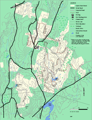
Upton State Forest trail map
Trail map for Upton State Forest in Massachusetts.
91 miles away
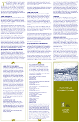
Mt. Pisgah Map - Northboro, Berlin, Boylston Mass
92 miles away
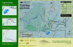
Equinox Preservation Trail map
Trail map of the Equinox Preservation Trust in Manchester, VT. The Equinox Preservation is over...
92 miles away
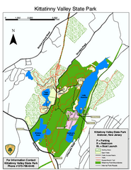
Kittatinny Valley State Park trail map
Trail map of Kittatinny Valley State Park in New Jersey. Shows hunting areas and trails.
93 miles away
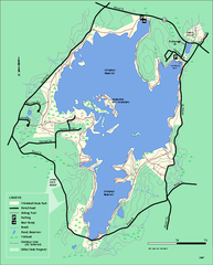
Whitehall State Park trail map
Trail map of Whitehall State Park in Massachusetts.
93 miles away
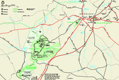
Morristown National Historical Park Official Map
Official NPS map of Morristown National Historical Park in New Jersey. Shows all areas. Tours...
94 miles away
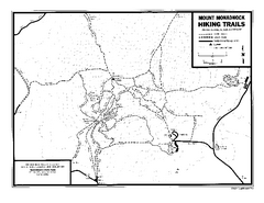
Mount Monadnock State Park Map
Official hiking map of the park. With its thousands of acres of protected highlands, 3,165-ft...
94 miles away
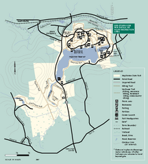
Hopkinton State Park trail map
Trail map of Hopkinton State Park in Massachusetts
96 miles away
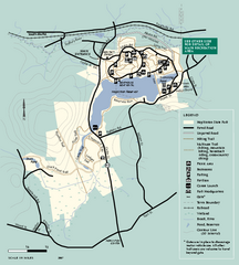
Hopkinton State Park trail map
Trail map of Hopkinton State Park in Massachusetts
96 miles away
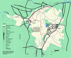
Willard Brook State Forest trail map
Trail map of Willard Brook State Forest in Massachusetts.
97 miles away
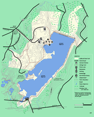
Ashland State Park Map
Map of Ashland State Park in Massachusetts.
99 miles away
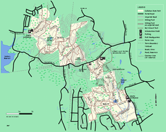
Callahan State Park trail map
Trail map of Callahan State Park in Massachusetts
101 miles away
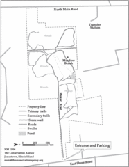
Parker Farm Trail Map
102 miles away

