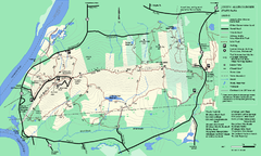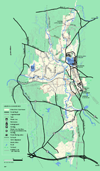
Otter River State Forest summer trail map
Summer trail map of the Otter River State Forest area in Massachusetts.
55 miles away
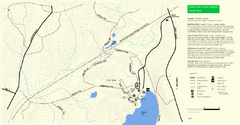
Douglas State Park Detail Map
56 miles away
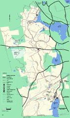
Douglas State Forest trail map
Trail map of the Douglas State Forest in Massachusetts
57 miles away
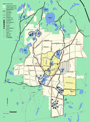
Myles Standish State Forest trail map
Summer trail map for Myles Standish State Forest.
57 miles away
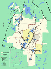
Myles Standish State Forest Winter trail map
Myles Standish State Forest winter use trail map.
57 miles away
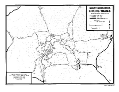
Mount Monadnock State Park Map
Official hiking map of the park. With its thousands of acres of protected highlands, 3,165-ft...
58 miles away
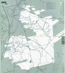
Freetown State Forest Map
Freetown State Forest Map showing mountain biking trails
60 miles away
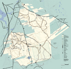
Freetown-Fall River State Forest trail map
Trail map of Freetown-Fall River State Forest in Massachusetts
60 miles away
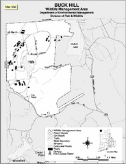
Buck Hill Wildlife Management Area Map
60 miles away
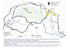
Sprague Farm - Glocester Land Trust Map
62 miles away
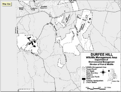
Durfee Hill Wildlife Management Area Map
63 miles away
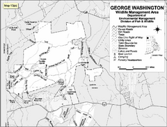
George Washington Wildlife Management Area Map
63 miles away
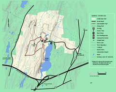
Wells State Park winter trail map
Winter use trail map of Wells State Park in Massachusetts.
64 miles away
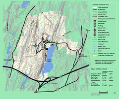
Wells State Park trail map
Trail map of Wells State Park in Massachusetts.
64 miles away
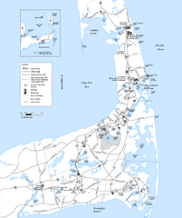
Cape Cod Rail Trail Map
Cape Cod Rail Trail map. The Cape Cod Rail Trail follows a former railroad right-of-way for 22...
66 miles away
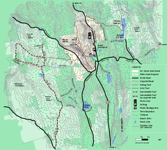
Mt. Grace State Forest trail map
Trail map of Mt. Grace State Forest near Warwick, Massachusetts.
68 miles away
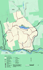
Erving State Park winter use map
Winter use map of the Erving State Park in Massachusetts
69 miles away
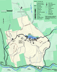
Erving Summer trail map
Summer use map of Erving State Park in Massachusetts.
70 miles away
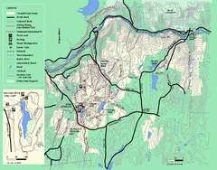
Wendell State Forest trail map
Trail map of Wendell State Forest in Massachusetts.
70 miles away
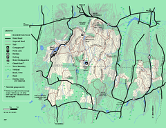
Brimfield State Forest trail map
Trail map of Brimfield State Forest in Massachusetts
72 miles away
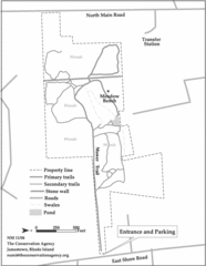
Parker Farm Trail Map
77 miles away
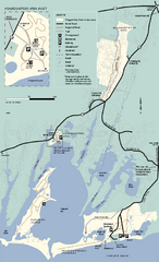
Waquoit Bay National Estuarine Research Preserve...
Trail map of Waquoit Bay National Estuarine Research Preserve in Massachusetts.
78 miles away
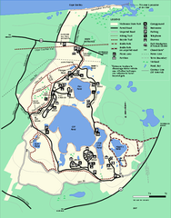
Nickerson State Park trail map
Trail map of Nickerson State Park in Massachusetts.
80 miles away
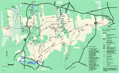
Mount Holyoke Range State Park Map
Trail map of Holyoke Range State Park.
80 miles away
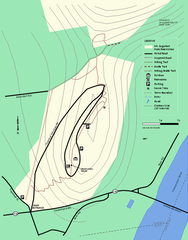
Mt. Sugarloaf State Reservation trail map
Trail map of Mount Sugarloaf State Reservation
81 miles away
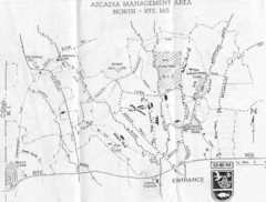
Arcadia Management Area State Map
Trail map for Arcadia Management Area in Rhode Island
82 miles away
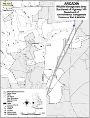
Arcadia Wildlife Management Area Map - Southeast
Reference map shows portion of Arcadia Wildlife Management Area, Rhode Island southeast of Highway...
83 miles away
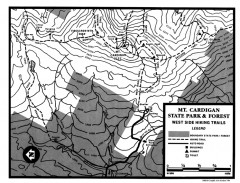
Cardigan State Park map
Topographical map of West Side hiking trails in Cardigan State Park in New Hampshire.
84 miles away
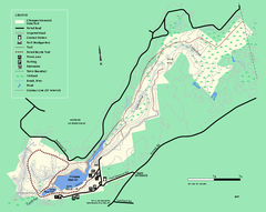
Chicopee State Park trail map
Chicopee State Park trail map
85 miles away
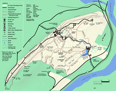
Mt. Tom State Reservation trail map
Trail map of Mt. Tom State Reservation
88 miles away
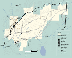
Windsor State Forest trail map
Trail map of Windsor State Forest in Massachusetts.
89 miles away
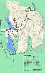
DAR State Forest summer map
Summer use map of the Daughters of the American Revolution state forest.
90 miles away
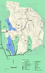
DAR State Forest winter map
Winter use map of the Daughters of the American Revolution State Forest.
92 miles away
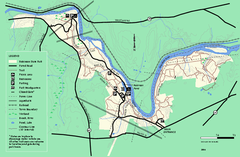
Robinson State Park trail map
Trail map of Robinson State Park in Massachusetts.
93 miles away
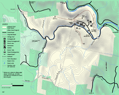
Mohawk Trail State Forest map
Map of the Mohawk Trail State Forest in Charlemont, Massachusetts.
95 miles away
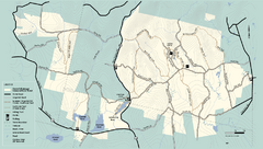
Kenneth Dubuque Memorial State Park trail map
Trail map of the Kenneth Dubuque state park conservation area in Massachusetts.
95 miles away
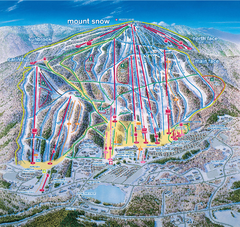
Mount Snow Ski Trail Map - main face
Trail map of main face of Mt Snow ski area near Wilmington, Vermont
98 miles away
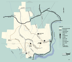
Monroe State Forest trail map
Trail map of Monroe State Forest in Massachusetts.
100 miles away
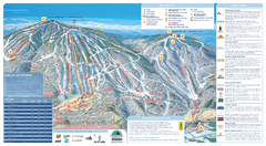
Okemo Ski Trail Map
Ski trail map of Okemo ski area. A James Niehues creation.
102 miles away

