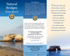
Natural Bridges State Beach Map
Map of beach and park with detail of trails and recreation zones
182 miles away
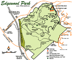
Edgewood County Park Trail Map
Trail map of Edgewood Park and Preserve in Redwood City, California.
182 miles away
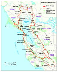
Bay Area Ridge Trail Map
Map of the Bay Area Ridge Trail. Shows completed segments through Sep 2009. "a 550+ mile...
184 miles away
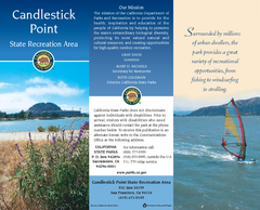
Candlestick Point Recreation Area Map
Map of park with detail of trails and recreation zones
185 miles away
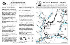
Big Basin Redwoods State Park Map
Map of park with detail of trails and recreation zones
185 miles away
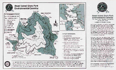
Angel Island State Park Map
Map of park with detail of trails and recreation zones
186 miles away
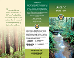
Butano State Park Map
Map of park with detail of trails and recreation zones
188 miles away

China Camp State Park Map
Map of park with detail of trails and recreation zones
189 miles away
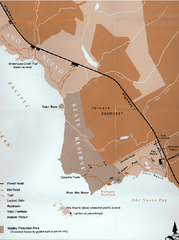
Ano Nuevo State Park Map
Map of park with detail of trails and recreation zones
190 miles away

Ano Nuevo State Park Map
Map of park with detail of trails and recreation zones
190 miles away
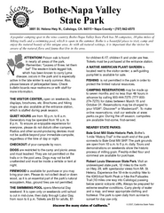
Bothe-Napa Valley State Park Map
Map of park with detail of of trails and recreation zones
195 miles away
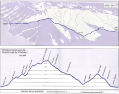
Dipsea Race Course Map
Course map of the annual Dipsea Trail Run Race. Shows birds-eye view and elevation profile of the...
195 miles away
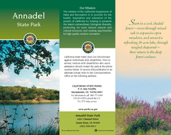
Annadel State Park Map
Map of park with detail of trails and recreation zones
198 miles away
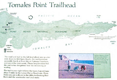
Tomales Point Trail Map
Map of the trail to Tomales Point in Point Reyes National Seashore, California. Also shows trail...
215 miles away
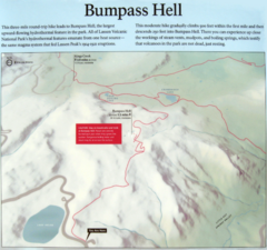
Bumpass Hell Trail Map
Trail map of route to Bumpass Hell, a major area of geo-thermal activity in Lassen National Park...
216 miles away
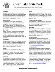
Clear Lake State Park Campground Map
Map of park with detail of trails and recreation zones
217 miles away
Clear Lake State Park Map
Map of park with detail of trails and recreation zones
217 miles away
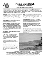
Pismo Beach North Campground Map
Map of park with detail of trails and recreation zones
218 miles away
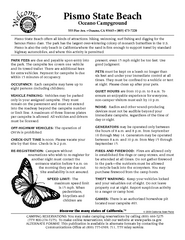
Pismo Beach Oceano Campground Map
Map of oceano campground region of park with detail of trails and recreation zones
219 miles away
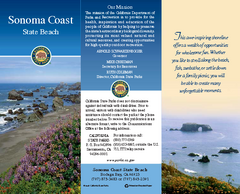
Sonoma Coast State Beach Map
Map of beach and park with detail of trails and recreation zones
223 miles away

Pacific Crest Trail Map
Shows entire route of 2,650 mile Pacific Crest Trail from Mexico to Canada.
226 miles away
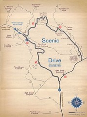
Red Rock Canyon Trail Map
Hiking trail map
234 miles away
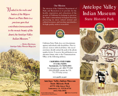
Antelope Valley State Park Map
Map of park with detail of of trails and recreation zones
234 miles away
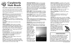
Carpinteria State Beach Campground Map
Map of park with detail of trails and recreation zones
251 miles away
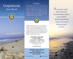
Carpinteria State Beach Map
Map of beach with detail of trails and recreation zones
251 miles away
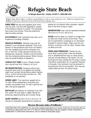
Refugio State Beach Campground Map
Map of campground region of beach with detail of trails and recreation zones
251 miles away
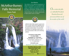
McArthur-Burney Falls Memorial State Park Map
Map of park with detail of trails and recreation zones
252 miles away
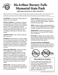
McArthur-Burney Falls Memorial State Park...
Map of park with detail of trails and recreation zones
252 miles away
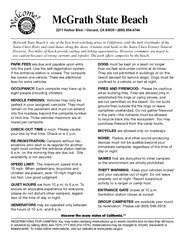
McGrath State Beach Campground Map
Map of beach and park with detail of trails and recreation zones
261 miles away
McGrath State Beach Map
Map of beach and park with detail of trails and recreation zones
261 miles away
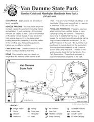
Van Damme State Park Campground Map
Map of campground region of park with detail of trails and recreation zones
270 miles away
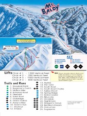
Mount Baldy Trail Map
271 miles away
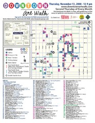
Downtown Art-Walk Map
The Downtown LA Art Walk, held every Thursday.
277 miles away
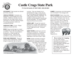
Castle Crags State Park Map
Map of park with detail of trails and recreation zones
281 miles away
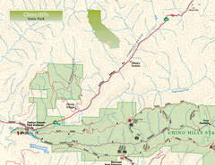
Chino Hills State Park NW Map
Map of NW portion of park with detail of trails and recreation zones
290 miles away
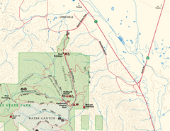
Chino Hills State Park NE Map
Map of NE portion of park with detail of trails and recreation zones
290 miles away
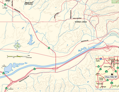
China Camp State Park SW Map
Map of SW portion of park with detail of trails and recreation zones
291 miles away
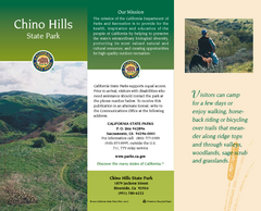
Chino Hills State Park Map
Map of park with detail of trails and recreation zones
291 miles away
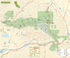
Chino Hills State Park Map
Overview map of park with detail of trails and recreation zones
291 miles away
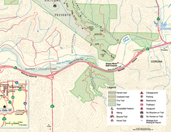
Chino Hills State Park SE Map
Map of SE portion park with detail of trails and recreation zones
292 miles away

