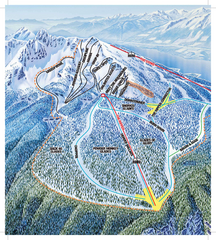
Revelstoke Ski Trail Map - North Bowl
Ski trail map of the North Bowl of Revelstoke ski area in Revelstoke, BC. From the 2008-2009...
342 miles away
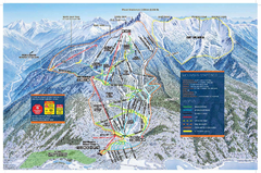
Revelstoke Ski Trail Map - Front side
Ski trail map of front side of Revelstoke ski area in Revelstoke, Canada from the 2008-2009 season.
343 miles away
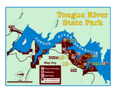
Tongue River Reservoir State Park Map
The 12-mile long reservoir is situated among scenic red shale, juniper canyons, and the open...
343 miles away
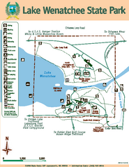
Lake Wenatchee State Park Map
Map of island with detail of trails and recreation zones
346 miles away
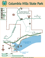
Columbia Hills State Park Map
Map of park with detail of trails and recreation zones
350 miles away
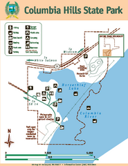
Columbia Hills State Park Map
Map of park with detail of trails and recreation zones
350 miles away
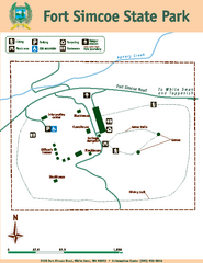
Fort Simcoe State Park Map
Map of park with detail of trails and recreation zones
357 miles away
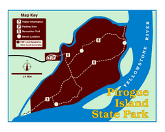
Pirogue Island State Park Map
Visitors find this isolated and undeveloped cottonwood-covered Yellowstone River island an...
362 miles away
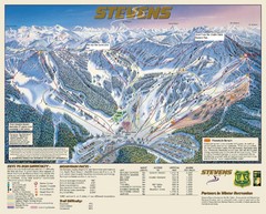
Stevens Pass Trail Map
363 miles away
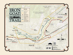
Iron Goat Trail Map
367 miles away
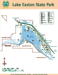
Lake Easton State Park Map
Map of island with detail of trails and recreation zones
367 miles away
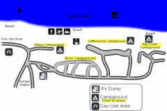
Rendezvous Beach Map
Bear Lake State Park is nestled high in the Rocky Mountains on the Utah-Idaho border. The cool...
377 miles away
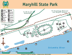
Maryhill State Park Map
Map of park with detail of trails and recreation zones
378 miles away
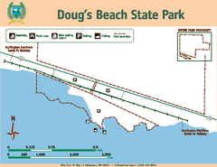
Dougs Beach State Park Map
Map of park with detail of trails and recreation zones
382 miles away
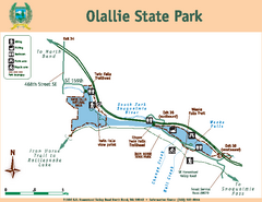
Olallie State Park Map
Map of park with detail of trails and recreation zones
388 miles away
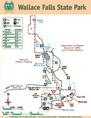
Wallace Falls State Park Map
Map of park with detail of trails and recreation zones
390 miles away
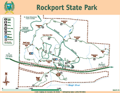
Rockport State Park Map
Map of park with detail of trails and recreation zones
394 miles away
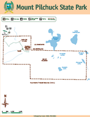
Mount Pilchuck State Park Map
Map of park with detail of trails and recreation zones
397 miles away
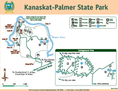
Kanaskat-Palmer State Park Map
Map of park with detail of trails and recreation zones
400 miles away
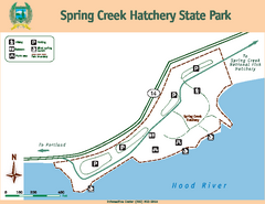
Spring Creek Hatchery State Park map
Map of park with detail of trails and recreation zones
401 miles away
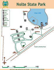
Nolte State Park Map
Map of park with detail of trails and recreation zones
402 miles away
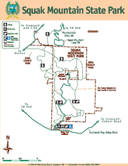
Squak Mountain State Park Map
Map of park with detail of trails and recreation zones
407 miles away
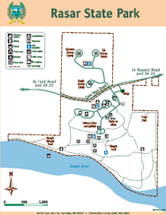
Rasar State Park Map
Map of park with detail of trails and recreation zones
407 miles away
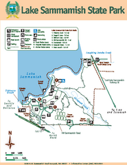
Lake Sammamish State Park Map
Map of island with detail of trails and recreation zones
407 miles away

Centennial Trail Map
408 miles away

Centennial Trail Map
Centennial Trail has 23 miles completed (Snohomish to Bryant) with more in progress.
409 miles away
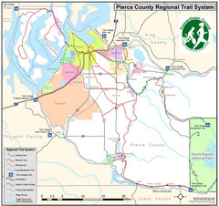
Pierce County Regional Trail Map
County-wide system of trails
411 miles away
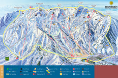
Snowbasin Mountain Trail Map
Ski trail map of Snowbasin Mountain
413 miles away
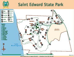
Saint Edward State Park Map
Map of park with detail of trails and recreation zones
417 miles away
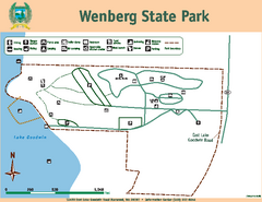
Wenberg State Park Map
Map of park with detail of trails and recreation zones
420 miles away
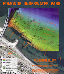
Edmonds Underwater Park Map
Map of underwater park for divers
423 miles away
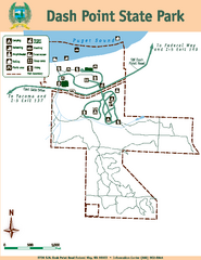
Dash Point State Park Map
Map of park with detail of trails and recreation zones
424 miles away
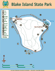
Blake Island State Park Map
Map of park with detail of trails and recreation zones
427 miles away
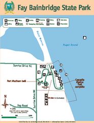
Fay Bainbridge State Park Map
Map of park with detail of trails and recreation zones
428 miles away
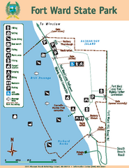
Fort Ward State Park Map
Map of park with detail of trails and recreation zones
429 miles away
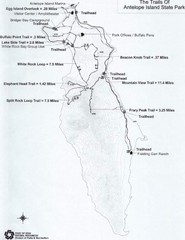
Antelope Island State Park Map
Antelope Island State Park, the largest island in the Great Salt Lake, is home to a roaming herd of...
430 miles away
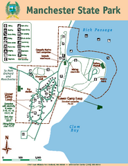
Manchester State Park Map
Map of park with detail of trails and recreation zones
430 miles away
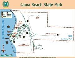
Cama Beach State Park Map
Map of park with detail of trails and recreation zones
432 miles away
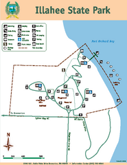
Illahee State Park Map
Map of park with detail of trails and recreation zones
432 miles away
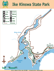
Ike Kinswa State Park Map
Map of park with detail of trails and recreation zones
434 miles away

