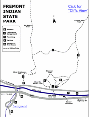
Fremont Indian State Park Map
Discover artifacts, petroglyphs, and pictographs left behind by the Fremont Indians. During...
540 miles away
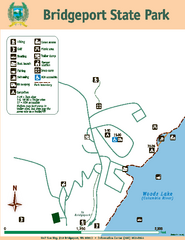
Bridgeport State Park Map
Map of park with detail of trails and recreation zones
547 miles away
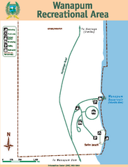
Wanapum Recreational Area Map
Map of park with detail of trails and recreation zones
554 miles away
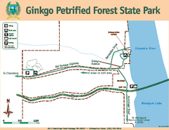
Ginkgo Petrified Forest State Park Map
Map of park with detail of trails and recreation zones
555 miles away
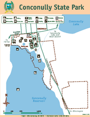
Conconully State Park Map
Map of park with detail of trails and recreation zones
561 miles away
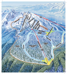
Revelstoke Ski Trail Map - North Bowl
Ski trail map of the North Bowl of Revelstoke ski area in Revelstoke, BC. From the 2008-2009...
566 miles away
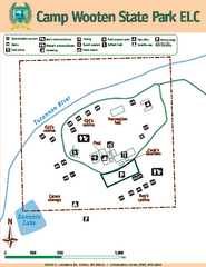
Camp Wooten State Park Map
Map of park with detail of trails and recreation zones
566 miles away
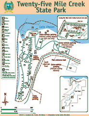
Twenty-Five Mile Creek State Park Map
Map of park with detail of trails and recreation zones
567 miles away
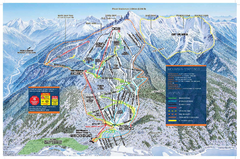
Revelstoke Ski Trail Map - Front side
Ski trail map of front side of Revelstoke ski area in Revelstoke, Canada from the 2008-2009 season.
567 miles away
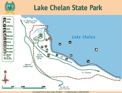
Lake Chelan State Park Map
Map of island with detail of trails and recreation zones
571 miles away
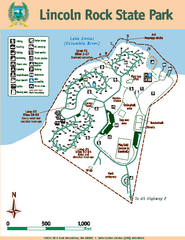
Lincoln Rock State Park Map
Map of park with detail of trails and recreation zones
571 miles away
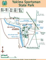
Yakima Sportsman State Park Map
Map of park with detail of trails and recreation zones
575 miles away
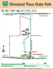
Olmstead Place State Park Map
Map of park with detail of trails and recreation zones
577 miles away
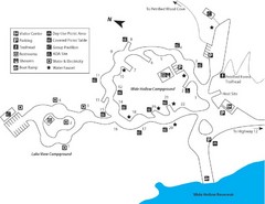
Escalante Petrified Forest State Park Map
Escalante Petrified Forest State Park is located in beautiful southern Utah, just 44 miles east of...
581 miles away
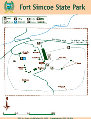
Fort Simcoe State Park Map
Map of park with detail of trails and recreation zones
593 miles away
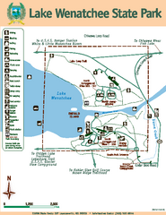
Lake Wenatchee State Park Map
Map of island with detail of trails and recreation zones
594 miles away
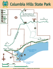
Columbia Hills State Park Map
Map of park with detail of trails and recreation zones
595 miles away
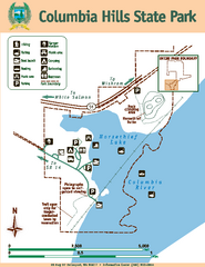
Columbia Hills State Park Map
Map of park with detail of trails and recreation zones
595 miles away
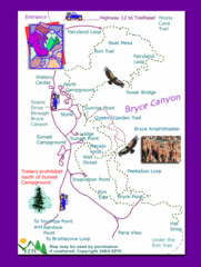
Bryce Canyon National Park Trails Map
602 miles away
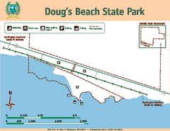
Dougs Beach State Park Map
Map of park with detail of trails and recreation zones
610 miles away
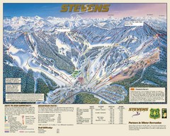
Stevens Pass Trail Map
611 miles away
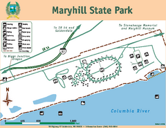
Maryhill State Park Map
Map of park with detail of trails and recreation zones
611 miles away
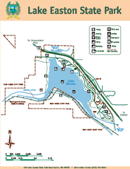
Lake Easton State Park Map
Map of island with detail of trails and recreation zones
612 miles away
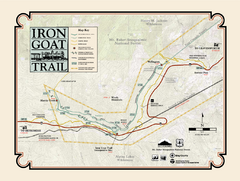
Iron Goat Trail Map
614 miles away
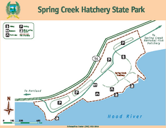
Spring Creek Hatchery State Park map
Map of park with detail of trails and recreation zones
630 miles away
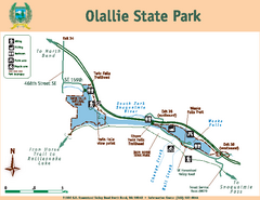
Olallie State Park Map
Map of park with detail of trails and recreation zones
634 miles away
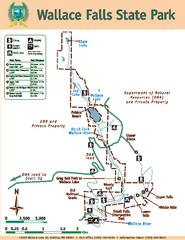
Wallace Falls State Park Map
Map of park with detail of trails and recreation zones
638 miles away
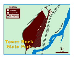
Tower Rock State Park Map
Tower Rock State Park is one of Montana's newest state parks. The 400-foot high igneous rock...
640 miles away
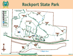
Rockport State Park Map
Map of park with detail of trails and recreation zones
643 miles away
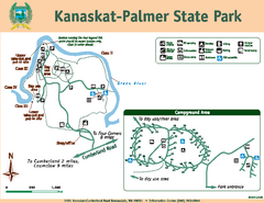
Kanaskat-Palmer State Park Map
Map of park with detail of trails and recreation zones
645 miles away
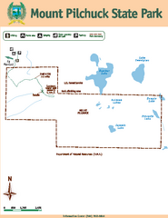
Mount Pilchuck State Park Map
Map of park with detail of trails and recreation zones
646 miles away
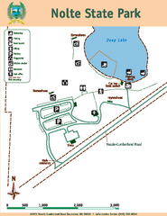
Nolte State Park Map
Map of park with detail of trails and recreation zones
647 miles away
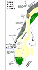
Coral Pink Sand Dunes State Park Map
Rippling arcs of rust-colored sand welcome you as you enter Coral Pink Sand Dunes State Park...
648 miles away
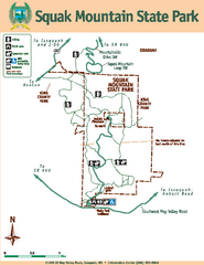
Squak Mountain State Park Map
Map of park with detail of trails and recreation zones
653 miles away
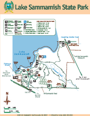
Lake Sammamish State Park Map
Map of island with detail of trails and recreation zones
654 miles away
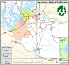
Pierce County Regional Trail Map
County-wide system of trails
655 miles away

Centennial Trail Map
656 miles away
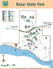
Rasar State Park Map
Map of park with detail of trails and recreation zones
657 miles away

Centennial Trail Map
Centennial Trail has 23 miles completed (Snohomish to Bryant) with more in progress.
657 miles away

Pacific Crest Trail Map
Shows entire route of 2,650 mile Pacific Crest Trail from Mexico to Canada.
660 miles away

