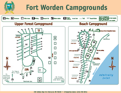
Fort Worden Campgrounds Map
Map of park campgrounds
93 miles away
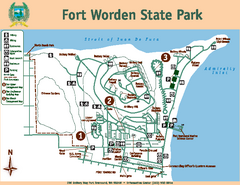
Fort Worden State Park Map
Map of park with detail of trails and recreation zones
93 miles away
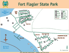
Fort Flagler State Park Map
Map of park with detail of trails and recreation zones
93 miles away
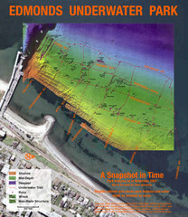
Edmonds Underwater Park Map
Map of underwater park for divers
95 miles away
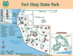
Fort Ebey State Park Map
Map of park with detail of trails and recreation zones
97 miles away
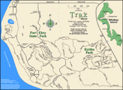
Ft Ebey/Kettle Park Trail Map
Trail map of Fort Ebey Park and Kettle Park, Washington
98 miles away
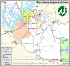
Pierce County Regional Trail Map
County-wide system of trails
98 miles away
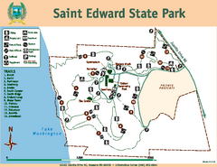
Saint Edward State Park Map
Map of park with detail of trails and recreation zones
98 miles away
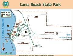
Cama Beach State Park Map
Map of park with detail of trails and recreation zones
103 miles away
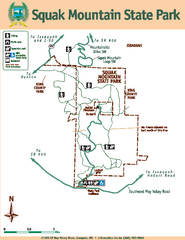
Squak Mountain State Park Map
Map of park with detail of trails and recreation zones
103 miles away
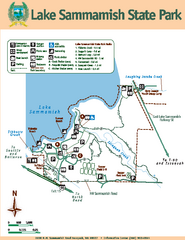
Lake Sammamish State Park Map
Map of island with detail of trails and recreation zones
103 miles away
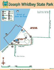
Joseph Whidbey State Park Map
Map of park with detail of trails and recreation zones
103 miles away
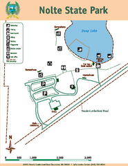
Nolte State Park Map
Map of park with detail of trails and recreation zones
106 miles away
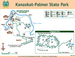
Kanaskat-Palmer State Park Map
Map of park with detail of trails and recreation zones
108 miles away
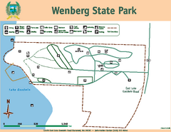
Wenberg State Park Map
Map of park with detail of trails and recreation zones
110 miles away
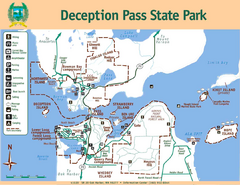
Deception Pass State Park Map
Map of park with detail of trails and recreation zones
110 miles away
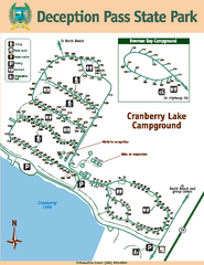
Deception Pass State Park Map
Map of park with detail of trails and recreation zones
111 miles away
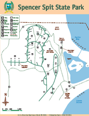
Spencer Spit State Park Map
Map of park with detail of trails and recreation zones
111 miles away
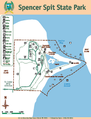
Spencer Spit State Park Map
Map of park with detail of trails and recreation zones
111 miles away
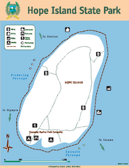
Hope Island State Park Map
Map of park with detail of trails and recreation zones
112 miles away

Centennial Trail Map
Centennial Trail has 23 miles completed (Snohomish to Bryant) with more in progress.
115 miles away

Centennial Trail Map
115 miles away
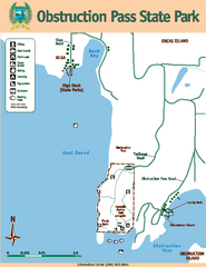
Obstruction Pass State Park Map
Map of park with detail of trails and recreation zones
116 miles away
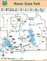
Moran State Park Map
Map of park with detail of trails and recreation zones
119 miles away
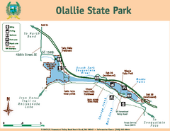
Olallie State Park Map
Map of park with detail of trails and recreation zones
121 miles away
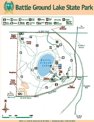
Battle Ground Lake State Park Map
Map of park with detail of trails and recreation zones
127 miles away
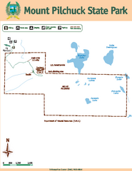
Mount Pilchuck State Park Map
Map of park with detail of trails and recreation zones
127 miles away
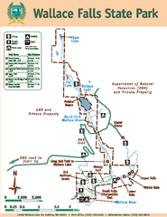
Wallace Falls State Park Map
Map of park with detail of trails and recreation zones
128 miles away
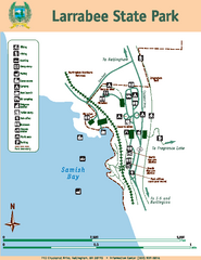
Larrabee State Park Map
Map of island with detail of trails and recreation zones
128 miles away
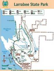
Larrabee State Park Map
Map of island with detail of trails and recreation zones
128 miles away
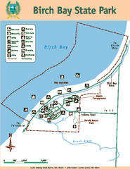
Birch Bay State Park Map
Map of park with detail of trails and recreation zones
134 miles away
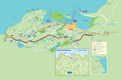
Nanaimo City Map
Map of Nanaimo, BC. Shows trails and parks.
136 miles away
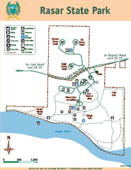
Rasar State Park Map
Map of park with detail of trails and recreation zones
140 miles away
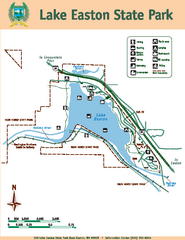
Lake Easton State Park Map
Map of island with detail of trails and recreation zones
141 miles away
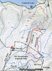
Mt. Arrowsmith Park CPR Historic Trail Map
Trail map of Mt. Arrowsmith Regional Park CPR Historic Trail, Vancouver Island
144 miles away
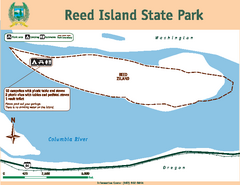
Reed Island State Park Map
Map of park with detail of trails and recreation zones
146 miles away
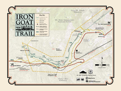
Iron Goat Trail Map
146 miles away
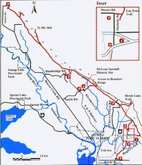
Log Train Trail Map
Trail map of the Log Train Trail near Port Alberni, Vancouver Island
148 miles away
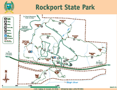
Rockport State Park Map
Map of park with detail of trails and recreation zones
149 miles away
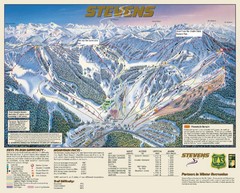
Stevens Pass Trail Map
150 miles away

