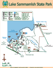
Lake Sammamish State Park Map
Map of island with detail of trails and recreation zones
64 miles away
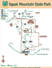
Squak Mountain State Park Map
Map of park with detail of trails and recreation zones
68 miles away
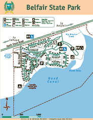
Belfair State Park Map
Map of park, with detail of trails and recreation zones
69 miles away
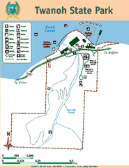
Twanoh State Park Map
Map of park with detail of trails and recreation zones
74 miles away
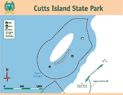
Cutts Island Stay Park Map
Map of park with detail of trails and recreation zones
76 miles away
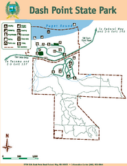
Dash Point State Park Map
Map of park with detail of trails and recreation zones
76 miles away
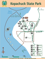
Kopachuck State Park Map
Map of island with detail of trails and recreation zones
77 miles away
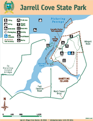
Jarrell Cove State Park Map
Map of park with detail of trails and recreation zones
79 miles away
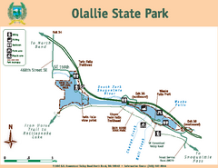
Olallie State Park Map
Map of park with detail of trails and recreation zones
80 miles away
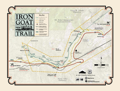
Iron Goat Trail Map
80 miles away
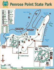
Penrose Point State Park Map
Map of park with detail of trails and recreation zones
80 miles away
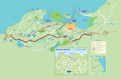
Nanaimo City Map
Map of Nanaimo, BC. Shows trails and parks.
81 miles away
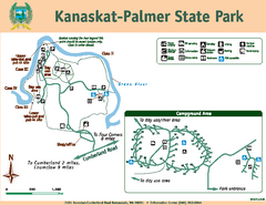
Kanaskat-Palmer State Park Map
Map of park with detail of trails and recreation zones
82 miles away
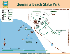
Joemma Beach State Park Map
Map of park with detail of trails and recreation zones
83 miles away
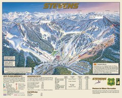
Stevens Pass Trail Map
83 miles away
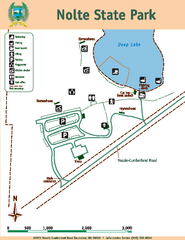
Nolte State Park Map
Map of park with detail of trails and recreation zones
84 miles away
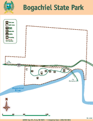
Bogachiel State Park Map
Map of park with detail of trails and recreation zones
90 miles away
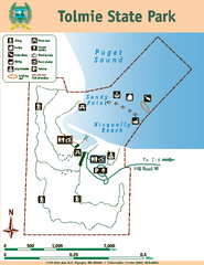
Tolmie State Park Map
Map of park with detail of trails and recreation zones
90 miles away
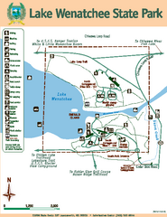
Lake Wenatchee State Park Map
Map of island with detail of trails and recreation zones
95 miles away
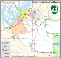
Pierce County Regional Trail Map
County-wide system of trails
95 miles away
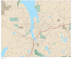
Olympia, Washington City Map
96 miles away
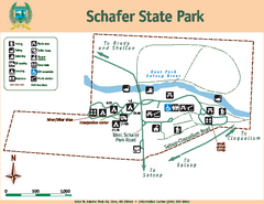
Schafer State Park Map
Map of park with detail of trails and recreation zones
100 miles away
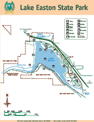
Lake Easton State Park Map
Map of island with detail of trails and recreation zones
103 miles away
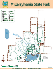
Millersylvania State Park Map
Map of park with detail of trails and recreation zones
105 miles away
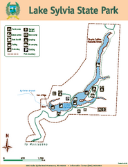
Lake Sylvia State Park Map
Map of island with detail of trails and recreation zones
109 miles away
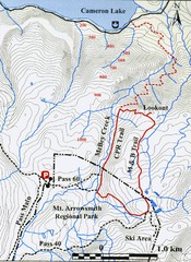
Mt. Arrowsmith Park CPR Historic Trail Map
Trail map of Mt. Arrowsmith Regional Park CPR Historic Trail, Vancouver Island
109 miles away
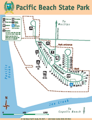
Pacific Beach State Park Map
Map of park with detail of trails and recreation zones
112 miles away
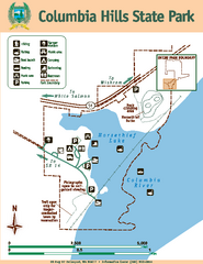
Columbia Hills State Park Map
Map of park with detail of trails and recreation zones
113 miles away
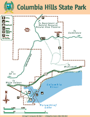
Columbia Hills State Park Map
Map of park with detail of trails and recreation zones
113 miles away
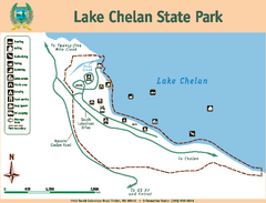
Lake Chelan State Park Map
Map of island with detail of trails and recreation zones
116 miles away
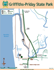
Griffiths-Priday State Park Map
Griffiths-Priday State Park
116 miles away

Whistler Blackcomb Ski Trail Map 2007-2008
Official ski trail map of the Whistler Blackcomb ski area from the 2007-2008 season. Site of Alpine...
117 miles away
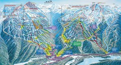
Whistler Blackcomb Trail Map
119 miles away
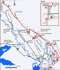
Log Train Trail Map
Trail map of the Log Train Trail near Port Alberni, Vancouver Island
120 miles away
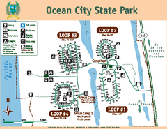
Ocean City State Park Map
Map of park with detail of trails and recreation zones
121 miles away
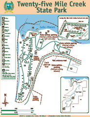
Twenty-Five Mile Creek State Park Map
Map of park with detail of trails and recreation zones
121 miles away
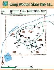
Camp Wooten State Park Map
Map of park with detail of trails and recreation zones
121 miles away
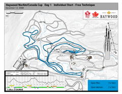
Whistler Olympic Park (Callaghan Nordic Centre...
Trail map from Whistler Olympic Park (Callaghan Nordic Centre), which provides night and nordic...
122 miles away
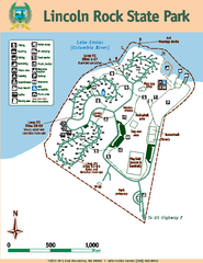
Lincoln Rock State Park Map
Map of park with detail of trails and recreation zones
126 miles away
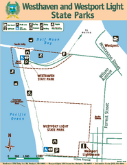
Westhaven/Westport Light State Parks Map
Map of park with detail of trails and recreation zones
127 miles away

