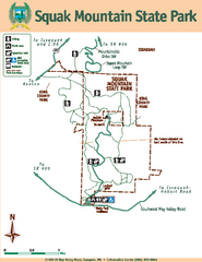
Squak Mountain State Park Map
Map of park with detail of trails and recreation zones
50 miles away
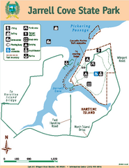
Jarrell Cove State Park Map
Map of park with detail of trails and recreation zones
51 miles away
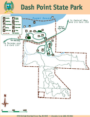
Dash Point State Park Map
Map of park with detail of trails and recreation zones
52 miles away
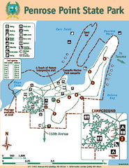
Penrose Point State Park Map
Map of park with detail of trails and recreation zones
53 miles away
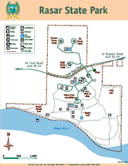
Rasar State Park Map
Map of park with detail of trails and recreation zones
54 miles away
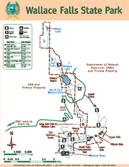
Wallace Falls State Park Map
Map of park with detail of trails and recreation zones
54 miles away
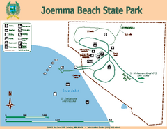
Joemma Beach State Park Map
Map of park with detail of trails and recreation zones
55 miles away
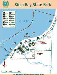
Birch Bay State Park Map
Map of park with detail of trails and recreation zones
61 miles away
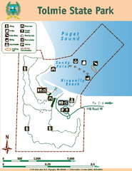
Tolmie State Park Map
Map of park with detail of trails and recreation zones
62 miles away
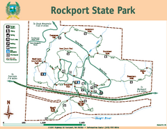
Rockport State Park Map
Map of park with detail of trails and recreation zones
64 miles away
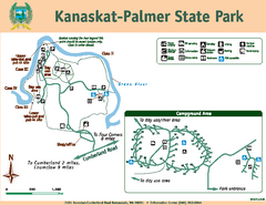
Kanaskat-Palmer State Park Map
Map of park with detail of trails and recreation zones
64 miles away
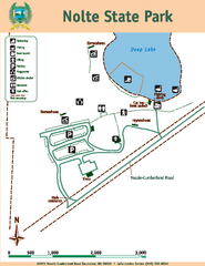
Nolte State Park Map
Map of park with detail of trails and recreation zones
65 miles away
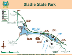
Olallie State Park Map
Map of park with detail of trails and recreation zones
67 miles away
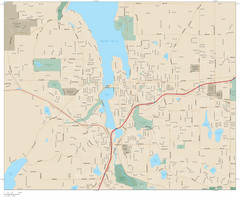
Olympia, Washington City Map
67 miles away
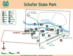
Schafer State Park Map
Map of park with detail of trails and recreation zones
71 miles away
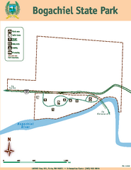
Bogachiel State Park Map
Map of park with detail of trails and recreation zones
73 miles away
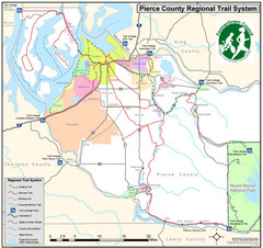
Pierce County Regional Trail Map
County-wide system of trails
73 miles away
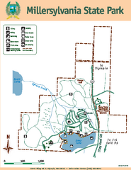
Millersylvania State Park Map
Map of park with detail of trails and recreation zones
76 miles away
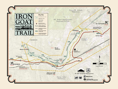
Iron Goat Trail Map
78 miles away
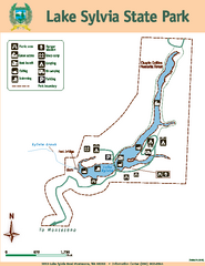
Lake Sylvia State Park Map
Map of island with detail of trails and recreation zones
79 miles away
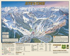
Stevens Pass Trail Map
82 miles away
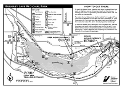
Burnaby Lake Park Trail Map
Trail map of Burnaby Lake Park in Vancouver, BC
85 miles away
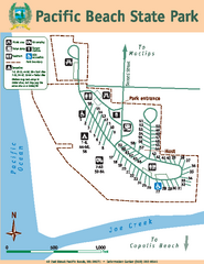
Pacific Beach State Park Map
Map of park with detail of trails and recreation zones
86 miles away
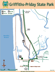
Griffiths-Priday State Park Map
Griffiths-Priday State Park
89 miles away
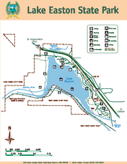
Lake Easton State Park Map
Map of island with detail of trails and recreation zones
92 miles away
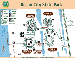
Ocean City State Park Map
Map of park with detail of trails and recreation zones
93 miles away
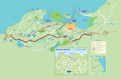
Nanaimo City Map
Map of Nanaimo, BC. Shows trails and parks.
95 miles away
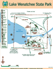
Lake Wenatchee State Park Map
Map of island with detail of trails and recreation zones
98 miles away
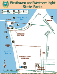
Westhaven/Westport Light State Parks Map
Map of park with detail of trails and recreation zones
99 miles away
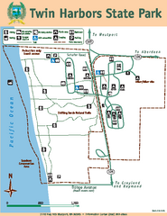
Twin Harbors State Park Map
Map of park with detail of trails and recreation zones
101 miles away
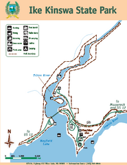
Ike Kinswa State Park Map
Map of park with detail of trails and recreation zones
101 miles away
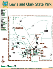
Lewis and Clark State Park Map
Map of park with detail of recreation zones and trails
103 miles away
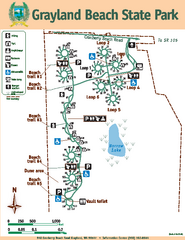
Grayland Beach State Park Map
Map of park with detail of trails and recreation zones
104 miles away
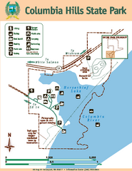
Columbia Hills State Park Map
Map of park with detail of trails and recreation zones
105 miles away
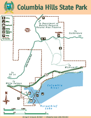
Columbia Hills State Park Map
Map of park with detail of trails and recreation zones
105 miles away
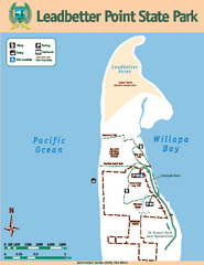
Leadbetter Point State Park Map
Map of park with detail of recreation zones and trails
114 miles away
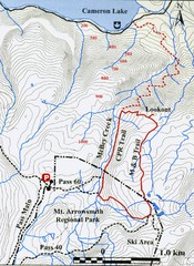
Mt. Arrowsmith Park CPR Historic Trail Map
Trail map of Mt. Arrowsmith Regional Park CPR Historic Trail, Vancouver Island
119 miles away
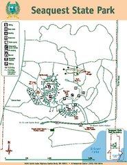
Seaquest State Park Map
Map of park with detail of trails and recreation zones
119 miles away
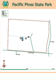
Pacific Pines State Park Map
Map of park with detail of trails and recreation zones
120 miles away
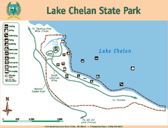
Lake Chelan State Park Map
Map of island with detail of trails and recreation zones
121 miles away

