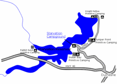
Starvation State Park Map
The sprawling waters of Starvation Reservoir offer great fishing and boating. Find a secluded...
501 miles away
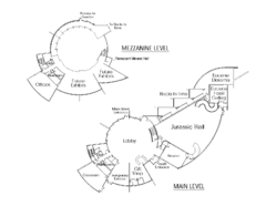
Utah Field House of Natural History Map
So much time is revealed here, even more geologic time than in the Grand Canyon. Within an 80-mile...
503 miles away
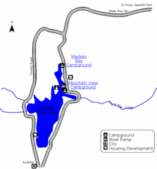
Scofield State Park Map
Camp, boat, and fish at this summer and winter recreation destination situated high in the Manti...
516 miles away
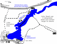
Yuba State Park Map
The sprawling waters of Yuba State Park provide a variety of recreation opportunities for visitors...
537 miles away
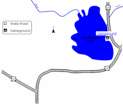
Huntington Lake State Park Map
Take a hike around this beautiful lake.
548 miles away
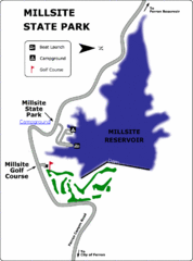
Millsite State Park Map
Camp in the quiet campground, and boat and fish on the blue waters of Millsite Reservoir. Play 18...
561 miles away
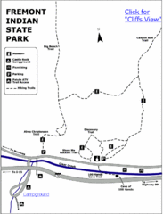
Fremont Indian State Park Map
Discover artifacts, petroglyphs, and pictographs left behind by the Fremont Indians. During...
584 miles away
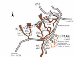
Goblin Valley State Park Map
The vast landscape of sandstone goblins may have visitors wondering if they're in Mars or Utah...
604 miles away
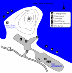
Otter Creek Reservoir Map
This quiet getaway is a great destination for ATV riders, boaters, and birders. Access three ATV...
612 miles away
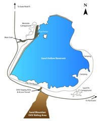
Sand Hollow State Park Map
With its warm, blue waters and red sandstone landscape, Utah's newest state park is also one...
644 miles away
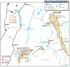
Bryce Canyon National Park Map
Roads, highways, rivers and points of interest are clearly marked on this simple map.
653 miles away
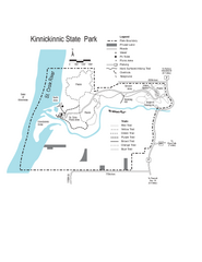
Kinnickinnic State Park Map
Map detailing hiking routes and stops along the way.
1038 miles away
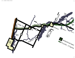
Tuscobia Map
Lakes and trails are easy to follow on this map.
1072 miles away
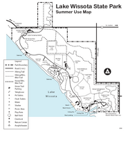
Lake Wissota State Park Map
Easy hiking along the beautiful water front.
1104 miles away

Downtown El Paso Map
Downtown tourist street map of El Paso and nearby Juarez
1124 miles away
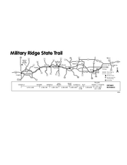
Military Ridge State Trail Map
Simple map marking trail route.
1163 miles away
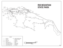
Rib Mountain State Park Map
Simple state park map with nice hiking trails.
1181 miles away
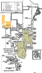
Buckhorn State Park Map
Hiking trails and fun locations marked on this map.
1186 miles away
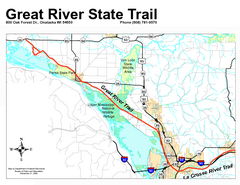
Great River State Trail Map
Nice hike through natural settings along a beautiful river.
1191 miles away
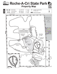
Roche A Cri State Park Map
Marked hiking trails for this State Park easily read on this map.
1193 miles away
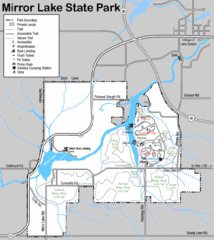
Mirror Lake State Park Map
Nice hiking routes around the lake.
1203 miles away
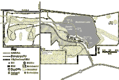
Browntown-Cadiz Springs State Recreation Area Map
Detailed map containing locations on shelters, parks, trails, and toilets.
1230 miles away
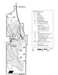
New Glaris Woods Map
Marked bathroom stops, trails, ect.
1231 miles away
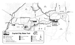
Capitol City State Trail Map
1238 miles away
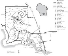
Lake Kegonsa State Park Map
Ball fields, drinking fountains, trails, and more easily guide you around this beautiful park.
1245 miles away
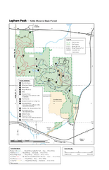
Lapham Peak Map
Ranger residence, hike path, restrooms and more are clearly marked upon this map.
1283 miles away
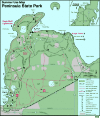
Peninsula State Park Map
Beautiful trails.
1293 miles away
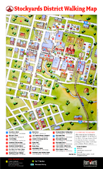
Fort Worth Stockyards District Map
Tourist map of Stockyards district
1318 miles away
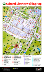
Fort Worth Cultural District Map
Tourist map of cultural district of Fort Worth
1320 miles away
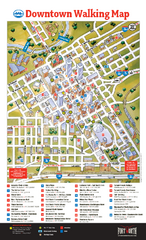
Downtown Fort Worth Map
Tourist map of downtown Fort Worth
1320 miles away
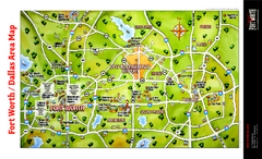
Dallas Fort Worth Area Map
Tourist map of Dallas/Fort Worth area
1329 miles away
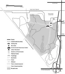
Havenwoods State Forest Map
Hiking trails and bus stops marked on this map.
1331 miles away
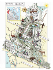
Yukon Territory Canada Map
1439 miles away

Downtown San Antonio Map
Tourist street map of downtown San Antonio
1474 miles away
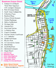
Downtown Corpus Christi Map
Tourist map of downtown Corpus Christi, with detail of local attractions
1604 miles away
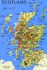
Scotland Tourist Map
1655 miles away
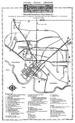
Brownsville Tourist Map
Tourist map of Brownsville with detail of local attractions
1715 miles away

Kennywood Theme Park Map
"America's Finest Traditional Amusement Park" is the slogan for this fun, high rated...
1760 miles away
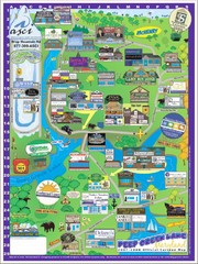
Deep Creek Lake, Maryland Map
1810 miles away

