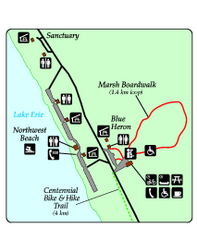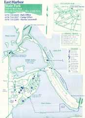
East Harbor State Park Map
161 miles away
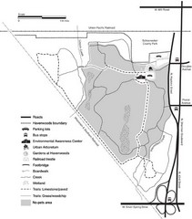
Havenwoods State Forest Map
Hiking trails and bus stops marked on this map.
164 miles away
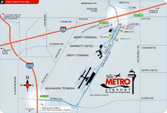
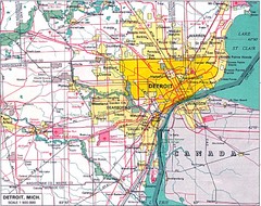
Detroit Metro Airport Area Map
164 miles away
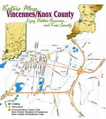
Vicennes and Knox County Indiana Visitor Map
Street map of Vicennes with maps of the entire state and county as well.
165 miles away
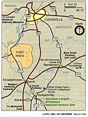
Louisville National Parks Map
National parks around Louisville.
167 miles away
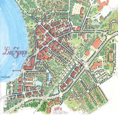
Lake Zurich, Illinois Tourist Map
172 miles away
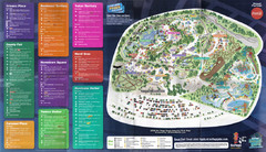
2008 Six Flags Great America Theme Park Map
Guide to Six Flags and Hurricane Harbor near Chicago, IL
174 miles away
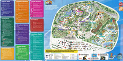
Six Flags Great America Theme Park Map
Guide to Six Flags and Hurricane Harbor near Chicago, IL
175 miles away
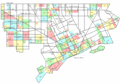
Detroit Neighborhoods Map
181 miles away
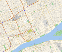
Detroit, MI Tourist Map
181 miles away
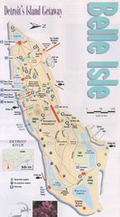
Belle Isle Tourist Map
Tourist map of Belle Isle, Detroit's island get-away
184 miles away
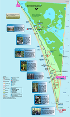
Point Pelee National Park Map
Large and clear national park map
187 miles away
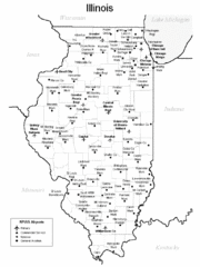
Illinois Airport Map
199 miles away
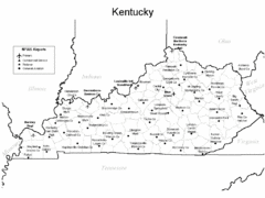
Kentucky Airports Map
201 miles away
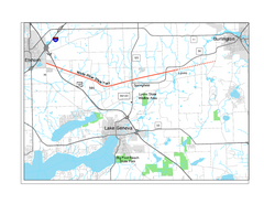
White River State Trail Map
Take the White River Trail from Elkhom to Burlington through nature's backyard.
204 miles away
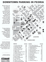
Parking in Downtown Peoria, Illinois Map
Tourist map of downtown Peoria, Illinois, showing locations of public parking.
210 miles away
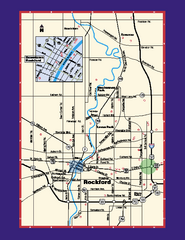
Rockford, Illinois Map
Tourist map of Rockford, Illinois. Museums, parks, hotels and other points of interest are shown.
216 miles away
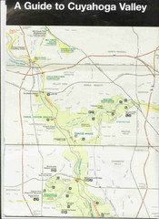
Cuyhoga National Park Map
216 miles away
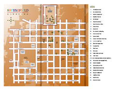
Looking for Lincoln Walking Tour, Springfield...
Looking for Lincoln walking tour map, Springfield, Illinois. Shows sites associated with President...
220 miles away
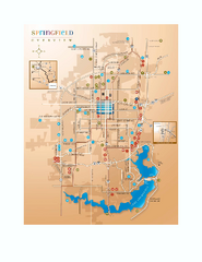
Springfield, Illinois Map
Tourist maps of Springfield, Illinois. Includes two maps: wider view of Springfield, and downtown...
220 miles away
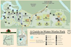
Waterworks Park Map
221 miles away

Chippewa Morraine State Park Map
Walking trails.
224 miles away
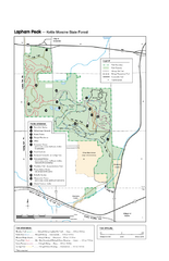
Lapham Peak Map
Ranger residence, hike path, restrooms and more are clearly marked upon this map.
225 miles away
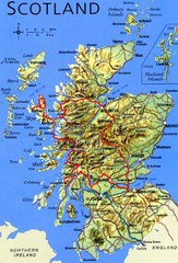
Scotland Tourist Map
231 miles away
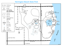
Harrington Beach State Park Map
Trails around Harington Beach State Park.
233 miles away
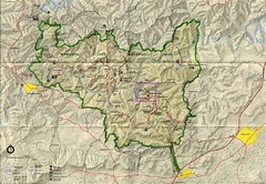
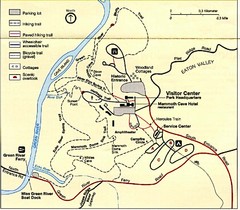
Mammoth Cave National Park Map
Visitor Center Area Map and Park Map. Topographical map that shows parameters of the park as well...
234 miles away
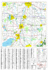
Jefferson County, Wisconsin Map
Map of Jefferson County, includes detailed information on streets, highways, recreational...
238 miles away
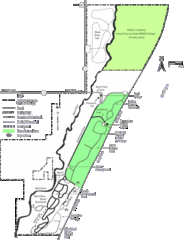
Kohler-Andrae State Park Map
trail, walk, water, nature, tourism, vacation, fun, adventure, journey,
241 miles away
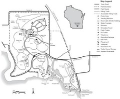
Lake Kegonsa State Park Map
Ball fields, drinking fountains, trails, and more easily guide you around this beautiful park.
251 miles away
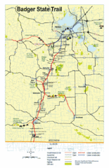
Badger State Trail Map
One of Wisconsin's best trails.
255 miles away
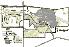
Browntown-Cadiz Springs State Recreation Area Map
Detailed map containing locations on shelters, parks, trails, and toilets.
257 miles away
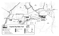
Capitol City State Trail Map
259 miles away
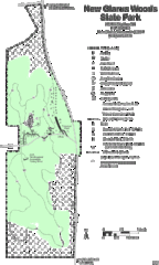
New Glarus Woods State Park Map
259 miles away
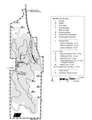
New Glaris Woods Map
Marked bathroom stops, trails, ect.
259 miles away
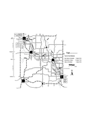
Sugar River Map
Towns, roads and rivers are all clearly marked on this map.
260 miles away
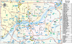
Quad Cities Area, Illinois Map
Tourist map of the Quad Cities Area, Illinois. Shows lodging as well as museums, golf courses...
264 miles away

