York River State Park Map
Fish and hike along this beautiful state park's river front.
122 miles away
Staunton River State Park Map
Clear map marking trails, rest stops, facilities and more.
126 miles away
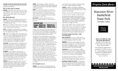
Staunton River Battlefield State Park Map
Clearly labeled state park map.
127 miles away
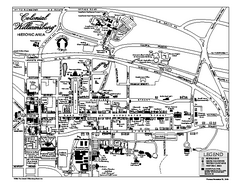
Map of Colonial Williamsburg
Historic map of Colonial Williamsburg in Virginia. Shows all roads, buildings and visitor center.
128 miles away
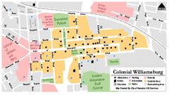
Colonial Williamsburg Map
128 miles away
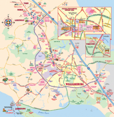
Williamsburg, Virginia Map
Williamsburg, Virginia Map and Visitor's Guide. Shows all streets, historic buildings...
128 miles away
Caledon Natural Area State Park Map
Clear and descriptive map of this amazing state park.
130 miles away
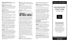
Occoneechee State Park Map
This map clearly marks rest stops, trails, campgrounds and more.
131 miles away
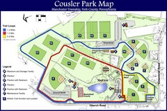
Cousler Park Map
136 miles away
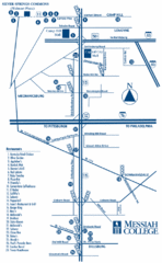
South Pennsylvania Restaurant Map
137 miles away
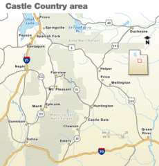
Castle Country national Park Map
Map marking major highways and cities near this beautiful national park.
137 miles away
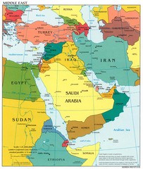
Middle East Political Map
138 miles away
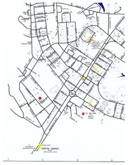
Fort Eustis Visitor Map
Detailed Visitor Map of Fort Eustis, Virginia. Shows location of Visitor Center, and highlights...
139 miles away
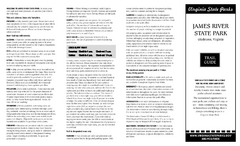
James River State Park Map
Detailed park map.
141 miles away
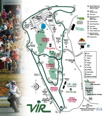
Virginia International Raceway Guide Map
VIR Guide Map
142 miles away
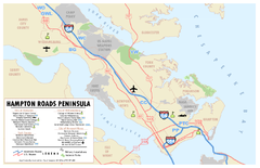
Peninsula of Hampton Roads Map
142 miles away
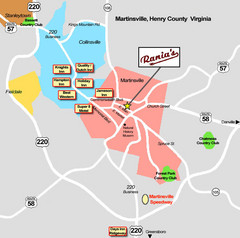
Martinsville Restaurant and Hotel Map
149 miles away
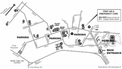
Nasa Center Langley Map
149 miles away

Kennywood Theme Park Map
"America's Finest Traditional Amusement Park" is the slogan for this fun, high rated...
150 miles away
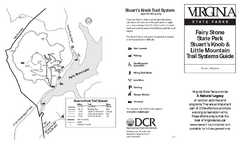
Fairy Stone State Park Map
Clearly marked state park map with trail system.
151 miles away
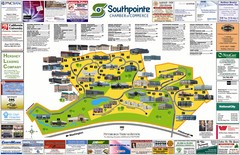
Southpointe Community Map
Tourist map of planned community in Pennsylvania
153 miles away
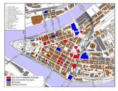
Pittsburgh Tourist Map
157 miles away
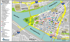
Pittsburgh Tourist Map
157 miles away
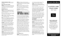
Claytor Lake State Park Map
Map of this beautiful state park.
157 miles away
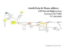
Amish Farm and House Route Map
Map showing directions to the Amish Farm and House with locations of key buildings and streets in...
159 miles away
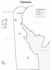
Delaware Airports Map
159 miles away
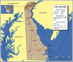
Delaware Tourist Map
159 miles away
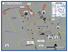
Killens Pond State Park Map
Map of Delaware State Park.
159 miles away
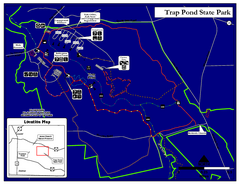
Trap Pond State Park Map
Delaware State Park map.
160 miles away
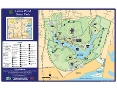
Lums Pond State Park Map
Clear legend and map of this wonderful state park.
163 miles away
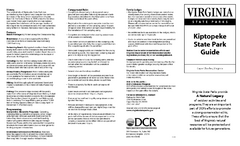
Kiptopek State Park Map
Informative map and legend of this amazing state park.
163 miles away
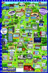
Kent County, Delaware Map
164 miles away
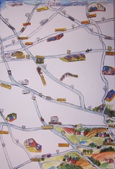
Handrawn Lancaster County Map
Guide to Amish country in Pennsylvania
164 miles away
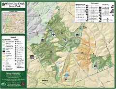
White Clay Creek State Park Map
Clear map and legend of this beautiful state park.
166 miles away
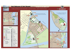
Fort Delaware State Park Map
Nice park on a beautiful island.
171 miles away
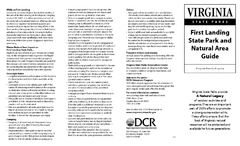
First Landing State Park Map
Clearly marked state park map with facilities and trails easily found.
173 miles away
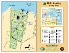
Hots Landing State Park Map
Clear map and legend.
176 miles away
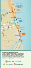
Virginia Beach Tourist Map
177 miles away
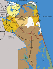
Virginia Beach Tourist Map
177 miles away

