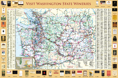
Washington State Winery Map
Washington State Winery Map
230 miles away
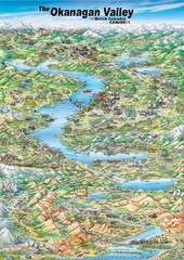
Pictorial map of the Okanagan Valley
238 miles away
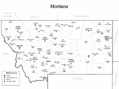
Montana Airports Map
240 miles away
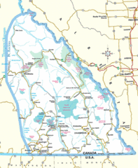
Kootenay Mountains Map
243 miles away
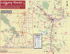
Calgary Tourist Map
Tourist map of Calgary, Canada. Shows points of interest. Scanned.
246 miles away
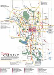
Calgary Map
246 miles away
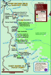
Smith River State Park Map
The Smith River is a unique 59-mile river corridor. Permits are required to float the stretch of...
248 miles away
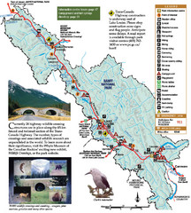
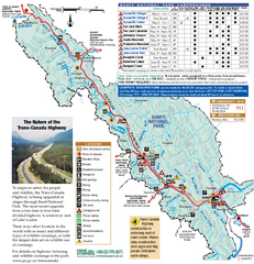
Banff National Park Map
250 miles away
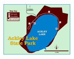
Ackley Lake State Park Map
Simple map of the State Park.
258 miles away
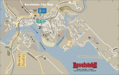
Revelstoke City Map
Overview map of Revelstoke, BC. Shows Points of Interest and activity icons
268 miles away
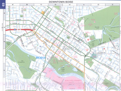
Boise, Idaho Downtown Map
Map of the downtown area of Boise, Idaho includes all streets, parks and the Boise State University.
279 miles away
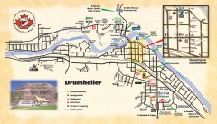
Drumheller Tourist Map
Tourist map of Drumheller, Alberta. Shows accommodations, campgrounds, restaurants, attractions...
292 miles away
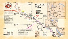
Drumheller Valley Tourist Map
Tourist map shows trails and points of interest of area around Drumheller, Alberta.
292 miles away
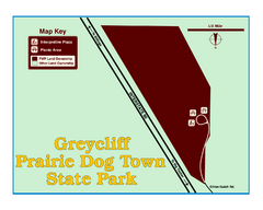
Greycliff Prairie Dog Town State Park Map
Grab your camera and hop off Interstate 90 at Greycliff to delight in the playful, curious black...
293 miles away
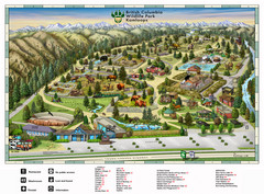
British Columbia Wildlife Park Visitor Map
Wildlife Visitor Park Map. Full color with illustrations.
300 miles away
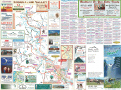
Snoqualmie Valley tourist map
Tourist map of the Snoqualmie Valley, Washington. Shows all businesses.
305 miles away
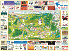
Snoqualmie tourist map
Snoqualmie, Washington tourist map. Shows all businesses.
306 miles away
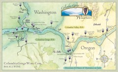
Columbia Gorge Wine Map
Wineries of the Columbia River Gorge area, Oregon.
306 miles away
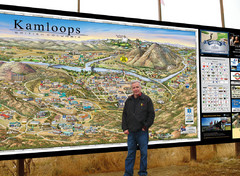
Kamloops tourist info map by Jean-Louis Rheault
Tourist map of Kamloops, British Columbia. Photo of 20 foot sign with the cartographer, Jean-Louis...
310 miles away
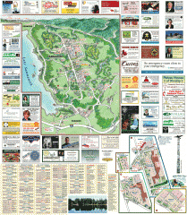
Sammamish tourist map
Sammamish, Washington tourist map. Shows all businesses.
311 miles away
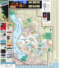
Sammamish tourist map
Tourist map of Sammamish, Washington. Shows all businesses.
311 miles away
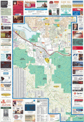
Issaquah tourist map
Issaquah, Washington tourist map. Shows all businesses.
312 miles away
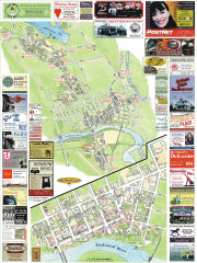
Snohomish tourist map
Snohomish, Washington tourist map. Shows all businesses.
314 miles away
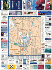
Snohomish tourst map
Tourist map of Snohomish, Washington. Shows all businesses.
314 miles away

Sammamish Valley Guide Map
315 miles away
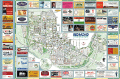
Redmond tourist map
Tourist map of Redmond, Washington. Shows all businesses.
315 miles away
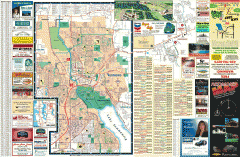
Redmond Area tourist map
Tourist map of the Redmond Area on Washington. Shows all businesses.
316 miles away
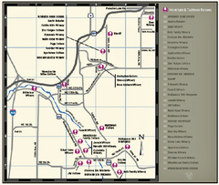
Woodinville Wine Country Map
Map of wineries in the Woodinville, WA area
316 miles away
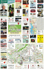
Woodinville tourist map
Tourist map of Woodinville, Washington. Shows all businesses.
316 miles away
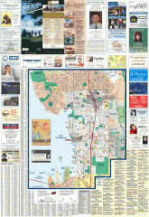
Greater Kirkland tourist map
Tourist map of Greater Kirkland, Washington. Shows all businesses.
317 miles away
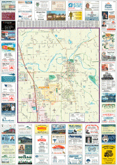
Arlington tourist map
Tourist map of Arlington, Washington. Shows all businesses.
317 miles away
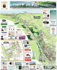
Marysville tourist map
Tourist map of Marysville, Washington. Shows all businesses.
318 miles away
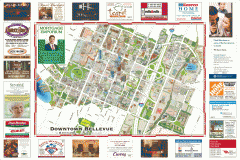
Tourist map of Downtown Bellevue
Tourist map of Downtown Bellevue, Washington. Shows all businesses.
319 miles away
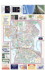
Bellevue tourist map
Tourist map of Bellevue, Washington. Shows all businesses.
319 miles away
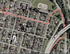
19th and Walnut in Everett, WA Map
319 miles away
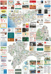
Kirkland tourist map
Kirkland, Washington tourist map. Shows all businesses.
319 miles away
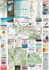
Arlington and Smokey Point tourist map
Tourist map of Arlington and Smokey Point, Washington. Shows all businesses.
320 miles away
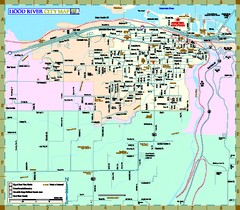
Hood River Map
Tourist map of city of Hood River, Oregon.
321 miles away
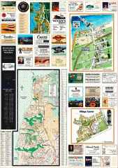
Mukilteo tourist map
Greater Mukilteo, Washington tourist map. Shows all businesses.
322 miles away

