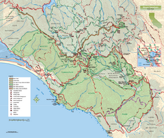
Mount Tamalpais State Park Map
Topographic trail map of Mt Tamalpais State Park in Marin County, California.
3334 miles away
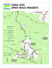
Loma Alta Preserve Map
Topographical trail map of Loma Alta Preserve in Marin County, California
3335 miles away
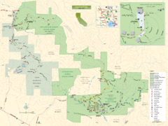
Sugarloaf Ridge State Park Map
Trail map of Sugarloaf Ridge State Park
3336 miles away
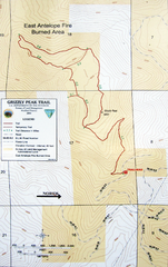
Grizzly Peak Trail Map
Topographic trail map of Grizzly Peak near Ashland, Oregon. Shows trails and distances. From...
3389 miles away
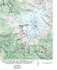
Mt. Baker Topo Map
Topo map of Mt. Baker, Washington, elevation 10,778ft.
3469 miles away
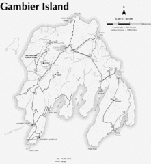
Gambier Island Trail Map
Trail map of Gambier Island, BC. See site for trail descriptions and details.
3551 miles away
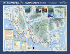
Lower Sunshine Coast Recreation Map
Recreation map of the Lower Sunshine Coast in BC. Shows hiking trails, mountain biking trails...
3568 miles away
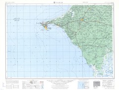
Dakar Topo Map
3570 miles away
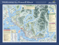
Upper Sunshine Coast Recreation Map
Recreation map of Upper Sunshine Coast in BC. Shows hiking trails, kayaking and canoeing routes...
3600 miles away
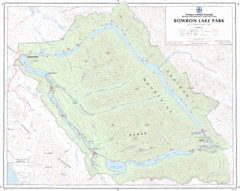
Bowron Lake Park Map
Topographical map of Bowron Lake Park
3605 miles away
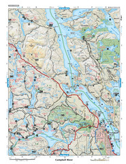
Campbell River Area Map
Vancouver Island, Victoria & Gulf Islands
3649 miles away
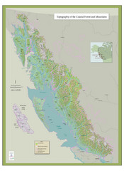
BC and Alaska Coastal Forest and Mountains Map
Relief map of coastal forest and mountains of southeast Alaska and British Columbia
3875 miles away
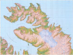
Hornstrandir Topo Map
Topo map of Hornstrandir, Iceland peninsula. Shows a kayak route.
3935 miles away
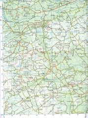
Kilmeen Area County Cork Map
Road and topo map of Kilmeen area in southwestern County Cork.
4028 miles away
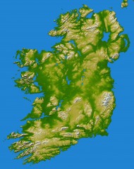
Ireland Topo Map
Shading and color-coding of topographic height.
4081 miles away
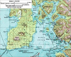
Mount Edgecumbe Topo Map
Topographic map of Mt. Edgecumbe and Sitka, Alaska. Mt. Edgecumbe is a 3000 foot inactive volcano...
4168 miles away
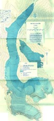
McCall Glacier Topo Map
Topographic map of the McCall Glacier in Alaska.
4578 miles away
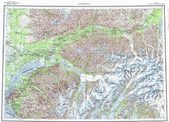
Anchorage Chugach State Park Topo Map
Topographic map of Chugach State Park, Anchorage, and surrounding area.
4666 miles away
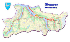
Gloppen Town Map
Topo map of Gloppen, Norway
4671 miles away
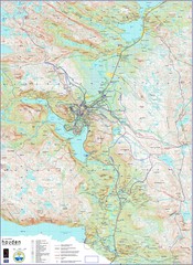
Hovden Norway Trail Map
Hovden has a total of 170 km cross-country skiing trails
4711 miles away
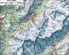
Mont Blanc topographic map
topo map of Mont Blanc, France; highest point in the Alps
4733 miles away

Grand Ballon Race Course Map
Topo course map of the 13.2 km running race to the summit of Grand Ballon
4735 miles away
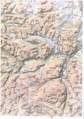
Oppdal Topo Map
Topo map of Oppdal, Norway region
4775 miles away
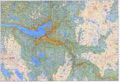
Selbu Norway Area Map
4827 miles away
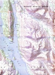
Kodiak Island Topo Map
Topo map of small portion of Kodiak Island
4846 miles away
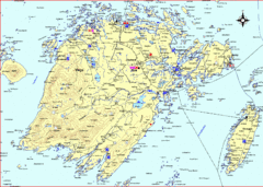
Vega Island Map
4848 miles away
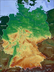
Germany Topo Map
Topographical map of Germany. Shaded by elevation in meters. Also shows major German cities.
4871 miles away
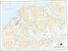
Longyearbyen Area Topo Map
Topo map of area around Longyearbyen, Svalbard Islands
4910 miles away
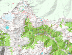
Val di Rabbi Topo Map
Detailed topographic map of Val di Rabbi, Italy on the edge of Stelvio National Park
4922 miles away
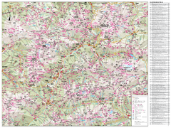
Val di Fassa Hiking Map
Hiking trail map of the Val di Fassa, Italy region. Highly detailed.
4962 miles away
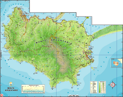
Monte Argentario Overview Map
Overview map of Monte Argentario, Italy, quasi-island in Tuscany
4979 miles away
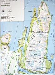
Lyngen Peninsula Map
Topo map of the northern Lyngen Peninsula near Tromso, Norway. Shows peaks. From photo.
5037 miles away
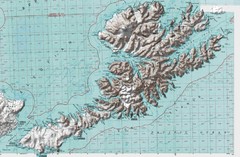
Unalaska Island Topo Map
5404 miles away
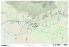
Waimea Hawaii Map
5430 miles away
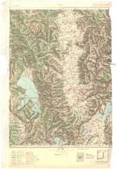
Bitola Region Topo Map
Topo map of the region surrounding Bitola, Macedonia.
5512 miles away
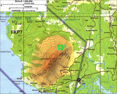
Mt Cameroon Topo Map
Topographic map of Mt. Cameroon, 13,255 feet.
5513 miles away
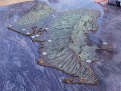
Oahu 3D Map
Topographical map of the island of Oahu. Photo taken of model at Pearl Harbor
5547 miles away
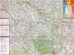
Moldova Topographical Map - North
Detailed topo map of northern Republic of Moldova. In Ukrainian.
5696 miles away
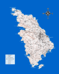
Sifnos Topo Map
Topographical map of the island of Sifnos, Greece. Shows tourist points of interest.
5769 miles away

