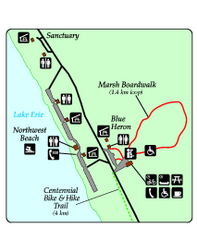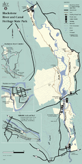
Heritage State Park Map
Clear state park map marking trails and facilities.
321 miles away
New River Trail State Park Map
Clear and detailed state park map.
323 miles away
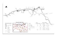
High Bridge Trail Map
Take a hike down this amazing Virginia trail.
329 miles away
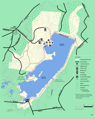
Ashland State Park Map
Clear map and legend marking trails, parking, facilities and more.
333 miles away
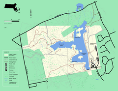
Ames Nowell State Park Map
Simple map of this beautiful state park. Visit and hike, bike, and shop!
343 miles away
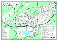
Blue Hills State Park Map
Clearly marked state park map of this beautiful state park.
344 miles away
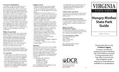
Hungry Mother State Park Map
Detailed map of this small state park.
350 miles away
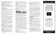
Grayson Highlands State Park Map
Clear and descriptive map of this beautiful state park.
355 miles away
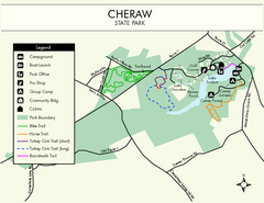
Cheraw State Park Map
Clear and descriptive state park map.
366 miles away
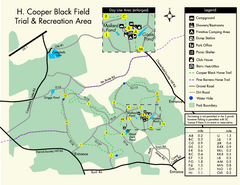
H. Cooper Black Field Map
Detailed map and legend of this state park.
370 miles away
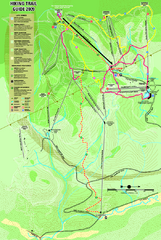
Killington Hiking Trail Map
Hiking trail map of Killington Ski Area summer trails. Shows life zones and geologic features.
379 miles away
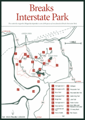
Breaks Interstate Park Map
Clear park map and legend.
383 miles away
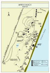
Myrtle Beach State Park Map
Clearly marked state park map
388 miles away
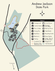
Andrew Jackson State Park Map
Clear and legible park map and legend.
390 miles away
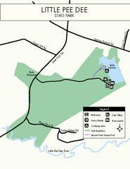
Little Pee Dee Map
Simple state park map.
392 miles away
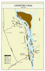
Landsford Canal State Park Map
Clear map with detailed legend marking this beautiful state park.
396 miles away
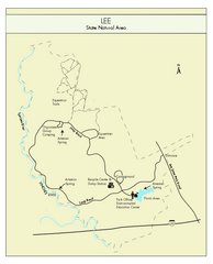
Lee State Park Map
Simple map of this state park.
398 miles away

Huntington Beach State Park Map
Detailed map and legend of this beautiful state park.
401 miles away
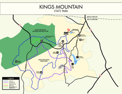
Kings Mountain State Park Map
Clearly marked state park map.
401 miles away
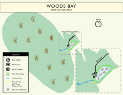
Woods Bay State Park Map
Clear map of this small yet beautiful state park.
404 miles away
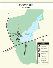
Goodale State Park Map
Easy to read state park map.
405 miles away
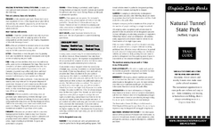
Natural Tunnel State Park Map
Detailed and informative state park map and legend.
415 miles away
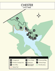
Chester State Park Map
Simple and clear state park map.
416 miles away
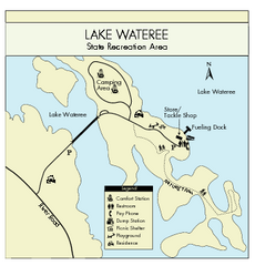
Lake Wateree State Park Map
Clear map of State Park.
423 miles away
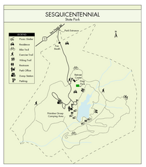
Sesquicentennial State Park Map
Map of this beautiful state park.
431 miles away
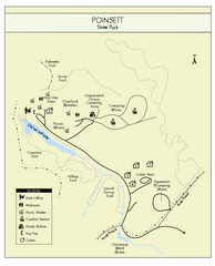
Poinsett State Park Map
Map and legend for this wonderful state park, marking bathrooms, camping grounds, roads, and more.
432 miles away
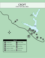
Croft State Park Map
Simple state park map.
434 miles away
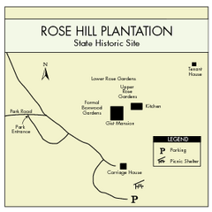
Rose Hill Plantation Map
Clear and simple state park map.
438 miles away
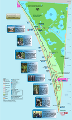
Point Pelee National Park Map
Large and clear national park map
439 miles away
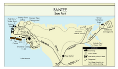
Santee State Park Map
Clear state park map.
445 miles away
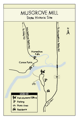
Musgrove Mill State Park Map
Clearly marked state park map.
447 miles away
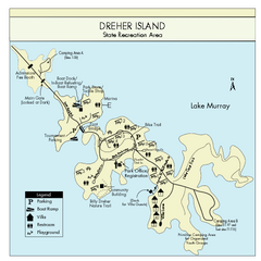
Dreher Island State Park Map
Clearly labeled state park map.
451 miles away
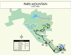
Paris Mountain State Park Map
Clearly labeled map of this beautiful state park.
456 miles away
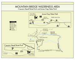
Mountain Bridge Wilderness Area Map
Map and legend marking bathrooms, picnic sites, trails and more.
462 miles away
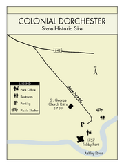
Colonial Dorchester State Park Map
Office, parking, picnic sites and more are all clearly marked on this state park site.
467 miles away
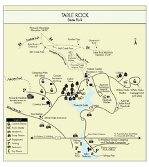
Table Rock State Park MAP
Clear and simple state park map and legend.
467 miles away
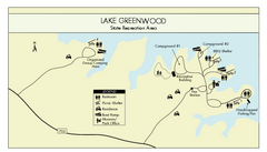
Lake Greenwood State Park Map
Clearly marked state park map on a beautiful waterfront.
469 miles away
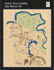
Charles Towne Landing State Park Map
This small park is full of beautiful hiking trails set in a natural setting.
469 miles away
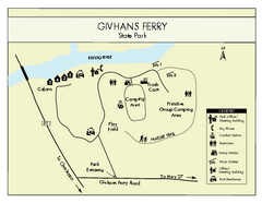
Givhans Ferry State Park Map
Map marked with shelter, phone, restrooms, picnic and more.
469 miles away

