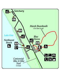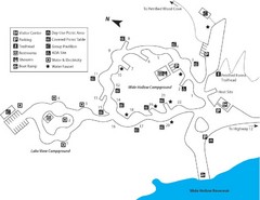
Escalante Petrified Forest State Park Map
Escalante Petrified Forest State Park is located in beautiful southern Utah, just 44 miles east of...
565 miles away
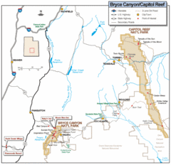
Bryce Canyon National Park Map
Roads, highways, rivers and points of interest are clearly marked on this simple map.
571 miles away
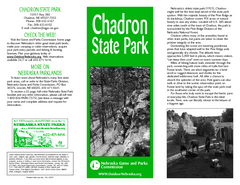
Chadron State Park Map
The majestic beauty of the Pine Ridge forms the backdrop for this great, get away from it all state...
591 miles away
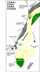
Coral Pink Sand Dunes State Park Map
Rippling arcs of rust-colored sand welcome you as you enter Coral Pink Sand Dunes State Park...
605 miles away

Raging Waters Sacramento Map
Fun and amusing water park for the whole family!
615 miles away
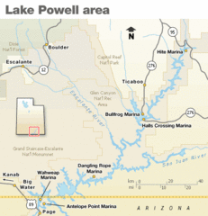
Lake Powell Area Map
Clear map marking the surrounding area of this pristine lake.
618 miles away
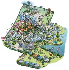
Raging Waters San Jose Map
Simple map of this fun water park for the whole family!
696 miles away
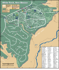
White Rock Road Map
Large and detailed map marking points of interest and roads.
735 miles away
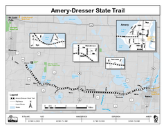
Ammery Dresser Trail Map
Easy to follow trail map.
1055 miles away
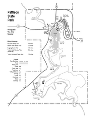
Pattison State Park Map
Great trails for a wonderfully relaxing summer vacation.
1061 miles away
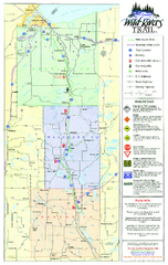
Wild Rivers Trail Map
A multitude of trails and rivers are clear to read on this map.
1073 miles away
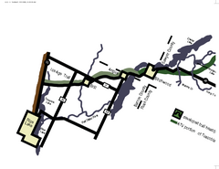
Tuscobia Map
Lakes and trails are easy to follow on this map.
1087 miles away
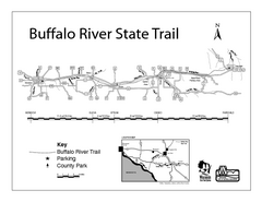
Buffalo River State Trail Map
Detailed map of excited hike through nature's finest.
1113 miles away
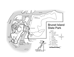
Brunet Island State Park Map
Easy to read legend.
1120 miles away
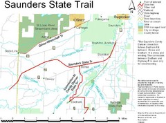
Saunders State Trail Map
Points of interest, lakes, roads, forests and more are marked on this map's key.
1146 miles away
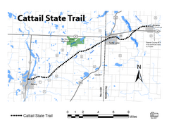
Cat Tail State Trail Map
Map marking trails, bike routes, shelter, toilets and more.
1146 miles away
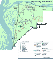
Wyalusing State Park Map
Detailed Park Map.
1157 miles away
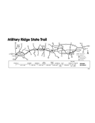
Military Ridge State Trail Map
Simple map marking trail route.
1165 miles away
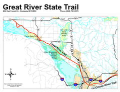
Great River State Trail Map
Nice hike through natural settings along a beautiful river.
1191 miles away
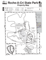
Roche A Cri State Park Map
Marked hiking trails for this State Park easily read on this map.
1201 miles away
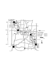
Sugar River Map
Towns, roads and rivers are all clearly marked on this map.
1236 miles away
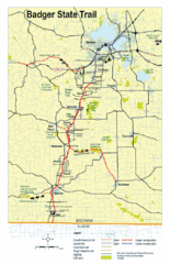
Badger State Trail Map
One of Wisconsin's best trails.
1239 miles away
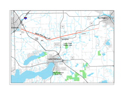
White River State Trail Map
Take the White River Trail from Elkhom to Burlington through nature's backyard.
1295 miles away
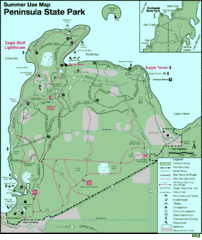
Peninsula State Park Map
Beautiful trails.
1308 miles away
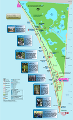
Point Pelee National Park Map
Large and clear national park map
1597 miles away
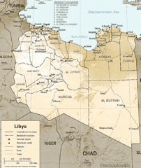
Lybia Map
Clear map and legend of this African Nation.
1671 miles away
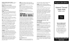
Natural Tunnel State Park Map
Detailed and informative state park map and legend.
1741 miles away
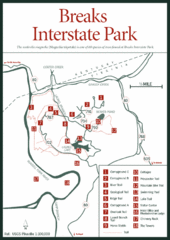
Breaks Interstate Park Map
Clear park map and legend.
1743 miles away
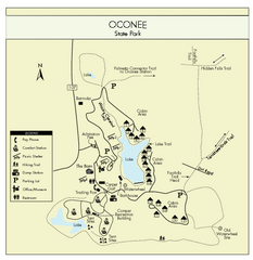
Oconee State Park Map
Beautiful state park clearly mapped with legend.
1793 miles away
Hungry Mother State Park Map
Detailed map of this small state park.
1794 miles away
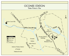
Oconee Station Map
Clear and simple map of Oconee State Park's station.
1796 miles away
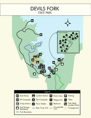
Devils Fork State Park Map
Clearly marked state park map.
1797 miles away
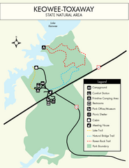
Keowee Toxaway State Park Map
Clear and detailed map of this wonderful state park.
1801 miles away
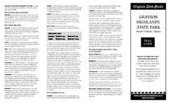
Grayson Highlands State Park Map
Clear and descriptive map of this beautiful state park.
1804 miles away
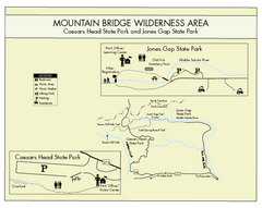
Mountain Bridge Wilderness Area Map
Map and legend marking bathrooms, picnic sites, trails and more.
1806 miles away
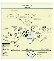
Table Rock State Park MAP
Clear and simple state park map and legend.
1806 miles away
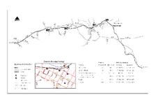
High Bridge Trail Map
Take a hike down this amazing Virginia trail.
1812 miles away
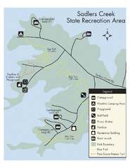
Sadlers Creek State Park Map
This simple map gives you an easy to follow layout of this amazing state park.
1824 miles away
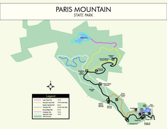
Paris Mountain State Park Map
Clearly labeled map of this beautiful state park.
1826 miles away

