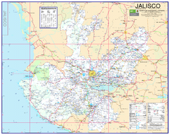
Jalisco Road Map
Detailed road map of the state of Jalisco. In Spanish.
6605 miles away
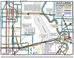
Davis, California BIke Map
6619 miles away
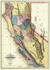
1851 California Regional Map
Great quality map of Californian regions in 1851.
6624 miles away
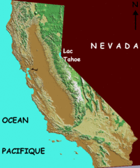
California elevation Map
California map showing elevations by contours, with Lake Tahoe identified.
6624 miles away
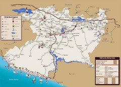
Michoacan State Tourist Map
Tourist map of the state of Michoacan, Mexico
6629 miles away
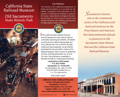
Old Sacramento State Historic Park Map
Map of park and museum with detail of trails and recreation zones
6630 miles away
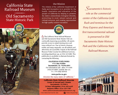
California Railroad Museum Map
Map of historic museum
6630 miles away
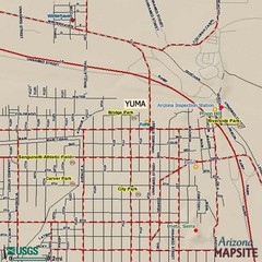
Yuma, Arizona Tourist Map
6632 miles away
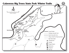
Calaveras Big Trees State Park Winter Map
Map of park with detail of winter ski trails and recreation zones
6662 miles away
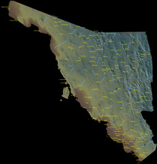
Sonora Mexico Map
6668 miles away
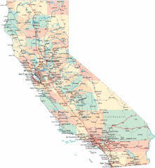
California Road Map
6678 miles away
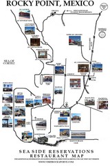
Rocky Point, New Mexico Restaurants Map
6701 miles away
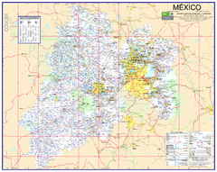
State of Mexico Road Map
Detailed road map of the Mexican state of Mexico. In Spanish.
6755 miles away
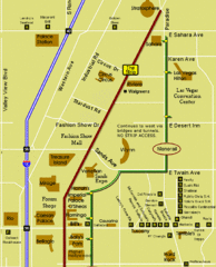
Las Vegas Strip Restaurant Map
6765 miles away
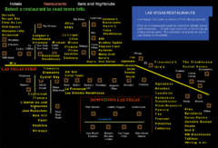
Las Vegas Strip Restaurant Map
6765 miles away
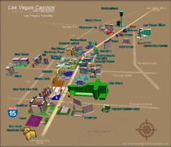
Las Vegas, NV Tourist Map
6765 miles away
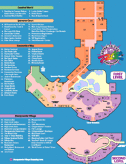
Rio Hotel - Las Vegas, NV Tourist Map
6765 miles away
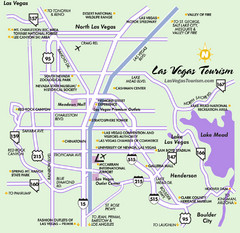
Las Vegas, NV Tourist Map
6765 miles away
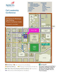
Central Phoenix, Arizona Restaurant Map
6776 miles away
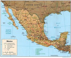
Mexico Relief Map
Mexico map shows states, roads, cities, railroads and borders.
6797 miles away
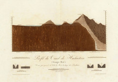
Huehuetoca Canal, Mexico Map
An old physical description of the Huehuetoca Canal in Mexico
6800 miles away
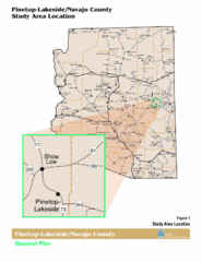
Arizona Highway Map
6841 miles away
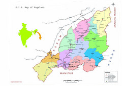
Nagaland Tourist Map
Tourist map of state of Nagaland, India. Shows tourist destinations and roads.
6858 miles away
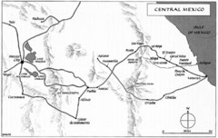
Invasion of Veracruz to Mexico City Historical Map
6909 miles away
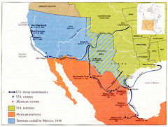
Mexican War Historical Map
6917 miles away
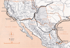
Mexican War Historical Map
6917 miles away
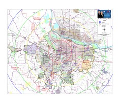
Portland, Oregon Tourist Map
6928 miles away
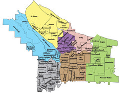
Portland, Oregon Neighborhood Map
6928 miles away
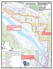
Portland, Oregon Bike Map
6928 miles away
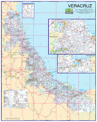
Veracruz Road Map
Detailed road map of the state of Veracruz. Inset of Veracruz city surroundings. In Spanish.
6938 miles away
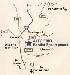
Alto Frio, Texas Tourist Map
6955 miles away
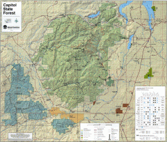
Capitol State Forest Map
Shows all trails in Capitol State Forest and surrounding area, including Lower Chehalis State...
6980 miles away
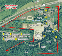
Grays Harbor County Straddleline ORV Park...
Park Map near Olympia
6988 miles away
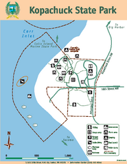
Kopachuck State Park Map
Map of island with detail of trails and recreation zones
7015 miles away
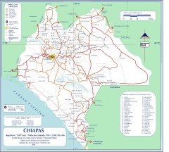
Chiapas Road Map
Road map of the Mexican state of Chiapas. Borders the Pacific Ocean and Guatemala. Shows roads and...
7015 miles away
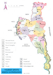
North Parganas Tourist Map
Tourist map of state of Parganas, India. Shows points of interest... including Central jail!
7019 miles away
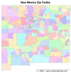
New Mexico Zip Codes Map
7032 miles away
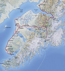
Kenai Peninsula, Alaska Map
7033 miles away
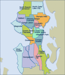
Seattle Neighborhood Map
7041 miles away

