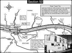
Ohio River at Madison, IN and Milton, KY Map
This is a page from the Ohio River Guidebook. The map shows important information for boaters and...
1832 miles away
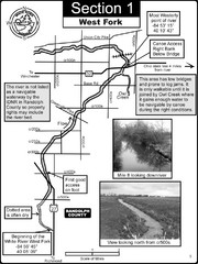
Winchester, IN Beginning of the White River-West...
This is a page from the White River Guidebook. The map shows important information for boaters and...
1840 miles away
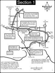
Fort Recovery, OH & beginning of the Wabash...
This is a page from the Wabash River Guidebook. The map shows important information for boaters and...
1844 miles away
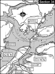
Guntersville, AL Tennessee River/Lake...
For boating navigational information and river road travel along the Tennessee River. This section...
1856 miles away
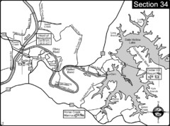
Celina, TN Dale Hollow Lake-Cumberland River Map
Celina Tennessee is the location for the head of navigation for the Cumberland River at the fork of...
1856 miles away
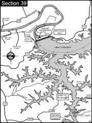
Lake Cumberland-Cumberland River Map
Lake Cumberland is formed by a dam on the Cumberland River in Section 39 of the Cumberland River...
1872 miles away
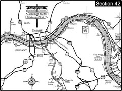
Ohio River at Cincinnati, Ohio and Newport, KY Map
This is a page from the Ohio River Guidebook. The map shows important information for boaters and...
1873 miles away
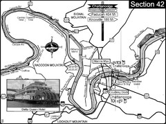
Chattanooga, TN Tennessee River Map
For boating navigational information and river road travel along the Tennessee River.
1893 miles away
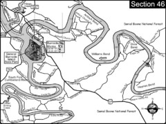
Burnside, KY-Cumberland River Map
Burnside, Kentucky is located at the fork of the Cumberland River and the South Fork. This is...
1897 miles away
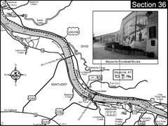
Ohio River at Maysville, Kentucky Map
This is a page from the Ohio River Guidebook. The map shows important information for boaters and...
1915 miles away
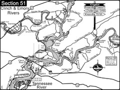
Kingston, TN Tennessee River/Clinch River/Emory...
Shows a bend on the Tennessee River at the confluence of the Clinch & Emory Rivers. For boat...
1923 miles away
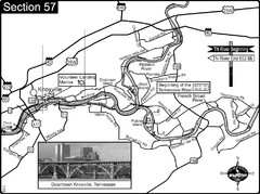
Knoxville, TN Tennessee River/Holston River...
This is the source of the Tennessee River at the confluence of the Holston River and French Broad...
1954 miles away
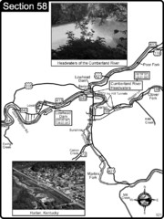
Harlan, KY-Cumberland River Headwaters Map
Section 58 of the Cumberland River Guidebook shows the beginning of the Cumberland River at the...
1967 miles away
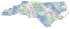
Watersheds North Carolina Map
North Carolina’s rivers link the Blue Ridge, Piedmont, and Coastal Plain. This map shows the...
2219 miles away
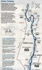
Deleware River Boat Map
2342 miles away
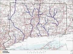
Connecticut Rivers and Coastal Paddling Map
This is a map of paddling areas for rivers and coastal kayaking. Follow the link below for...
2460 miles away
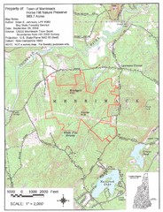
Merrimack Topo Map
A Topographical map Horse Hill Nature Preserve.
2500 miles away
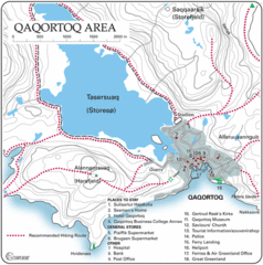
Qaqortoq City Map
Clear map and legend marking facilities, hotels, roads and more in this beautiful city.
3418 miles away
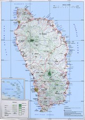
Dominica Map
Overview map of Dominica. Shows elevation.
3846 miles away
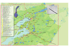
Central Norway Map
Maps covering Steinkjer - Verdal - Levanger - Inderøy in Norway. Maps show cities, rivers...
4882 miles away
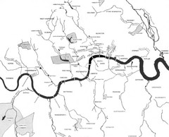
London Subterranean Rivers Map
A great help when one wants to name more than one or two rivers/streams that run through London. I...
5237 miles away
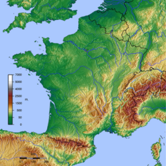
GMT France Map
Map of France made with GMT and and GTOPO30.
5574 miles away
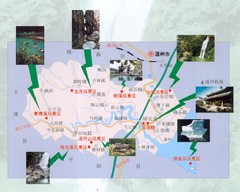
Ruian Tourist Map
Ruian tourist map. Places of interest.
6456 miles away
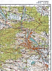
Tbilisi Topographic Map
Tbilisi Topographic Map. Note: This map is not in English.
6824 miles away
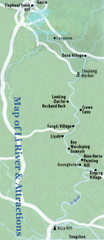
Li River and Attractions Map
6841 miles away
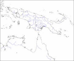
New Guinea Map
Regional Map of the Island of New
6856 miles away
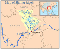
Jialing River Map
6898 miles away
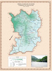
Karabakh Map
Spring Overflow of Rivers and Turbidity of the Rivers in the Nagorno-Karabakh Republic (Artsakh)
6938 miles away
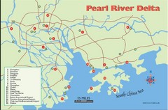
Pearl River Delta Tourist Map
Cities of the Pearl River Delta.
6998 miles away
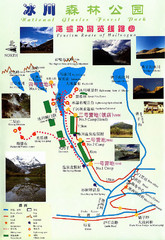
Hailuogou National Glacier Park Map
Trails, rivers and lakes.
7039 miles away
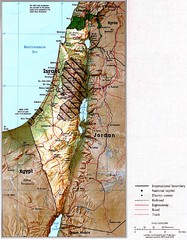
Israel Map
Map of Isreal and Surrounding areas from "Atlas of the Middle East", published in January...
7372 miles away
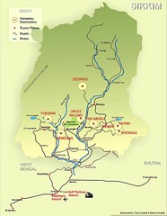
Sikkim Tourist Map
7542 miles away
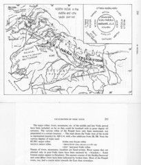
Kirata (Nepal) and North India in the middle and...
Kirata (Nepal) and North India map including tribes, rivers, mountains.
7684 miles away
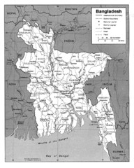
Bangladesh Map
Bangladesh Map showing cities, borders and rivers
7746 miles away

