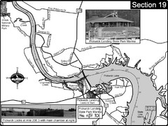
Pickwick Lake Tennessee River Map
For boating navigational information and river road travel along the Tennessee River. This map...
123 miles away
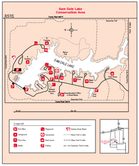
Sam Dale Lake, Illinois Site Map
123 miles away
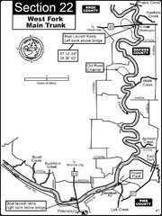
Petersburg, IN White River West Fork Map
This is a page from the White River Guidebook. The map shows important information for boaters and...
125 miles away
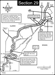
Vincennes, IN/ St. Francisville, IL Wabash River...
This is a page from the Wabash River Guidebook. The map shows important information for boaters and...
128 miles away
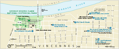
George Rogers Clark National Historical Park...
Official NPS map of George Rogers Clark National Historical Park in Indiana. Map shows all areas...
129 miles away
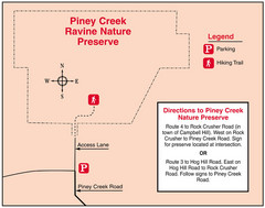
Piney Creek Ravine, Illinois Site Map
129 miles away
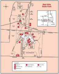
Red Hills, Illinois State Park Site Map
131 miles away
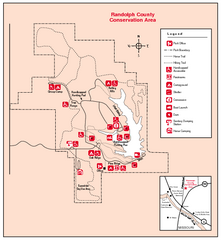
Randolph County State Park, Illinois Site Map
132 miles away
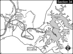
Celina, TN Dale Hollow Lake-Cumberland River Map
Celina Tennessee is the location for the head of navigation for the Cumberland River at the fork of...
137 miles away
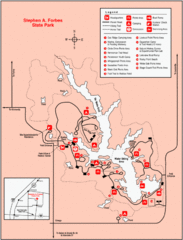
Stephen A. Forbes State Park, Illinois Site Map
138 miles away
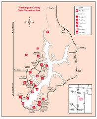
Washington County State Recreational Area...
138 miles away
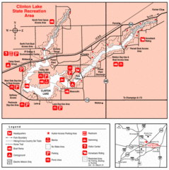
Clinton Lake, Illinois Site Map
141 miles away
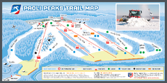
Paoli Peaks Ski Trail Map
Trail map from Paoli Peaks, which provides downhill, night, and terrain park skiing. It has 8 lifts...
142 miles away
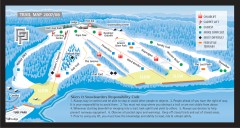
Paoli Peaks Ski Trail Map
Official ski trail map of Paoli Peaks ski area from the 2007-2008 season.
142 miles away
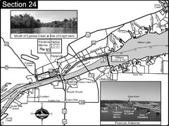
Florence, AL Tennessee River Map
For boating navigational information and river road travel along the Tennessee River. This map...
143 miles away
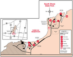
South Shore State Park, Illinois Site Map
145 miles away
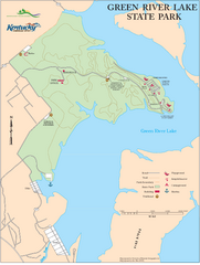
Green River Lake State Park Map
Map of trails and facilities in Green River Lake State Park.
146 miles away
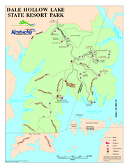
Dale Hollow Lake State Park Map
Map of trails and facilities of Dale Hollow Lake State Park.
147 miles away

Carlyle Lake, Illinois Site Map
149 miles away
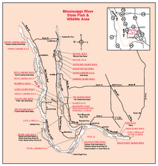
Mississippi River, Illinois Site Map
150 miles away
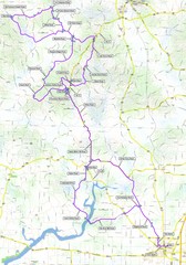
Salem Backroads Century Course Map
Route map for Salem Backroads Century bike race.
150 miles away
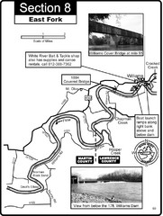
Williams, IN White River East Fork Map
This is a page from the White River Guidebook. The map shows important information for boaters and...
151 miles away

Six Flags Kentucky Kingdom Theme Park Map
Official Park Map of Six Flags Kentucky Kingdom in Kentucky.
152 miles away
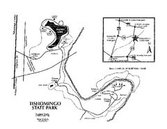
Tishomingo State Park, Mississippi Map
This map unfortunately does not adequately represent this park which is in one of the few areas of...
153 miles away
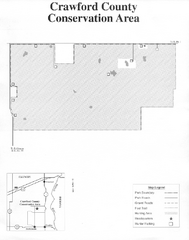
Crawford County, Illinois Site Map
154 miles away
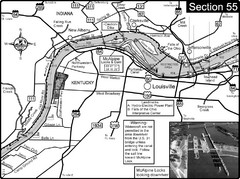
Ohio River at Louisville, KY & Southern...
This is from the Ohio River Guidebook
155 miles away
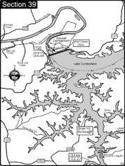
Lake Cumberland-Cumberland River Map
Lake Cumberland is formed by a dam on the Cumberland River in Section 39 of the Cumberland River...
157 miles away
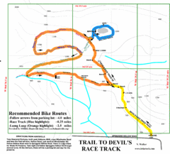
Wade Mountain Map
Recommended Bike Routes for Wade Mountain including the trail to Devil's Race Track
158 miles away
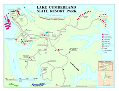
Lake Cumberland State Resort Park Map
Map of trails and facilities for Lake Cumberland State Resort Park.
159 miles away
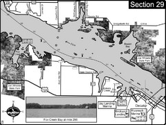
Decatur, AL Tennessee River/Wheeler Lake Map
For boating navigational information and river road travel along the Tennessee River. This section...
159 miles away
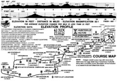
Rocket City Marathon Elevation Map
Course Map and Elevation Profile of the Rocket City Marathon in Huntsville, AL
163 miles away
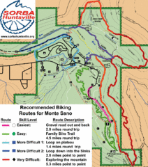
Monte Sano State Park Bike Routes Map
Recommended Biking Routes for Monte Santo with Easy to difficult routes marked.
165 miles away
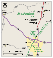
Brices Cross Roads National Battlefield Site...
Official NPS map of Brices Cross Roads National Battlefield Site in Mississippi. The grounds of the...
166 miles away
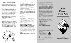
Lake Frierson State Park Map
Map of Lake Frierson State Park showing trails, boating and fishing areas and amenities.
166 miles away
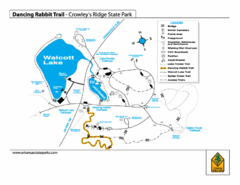
Dancing Rabbit Trail - Crowley's Ridge State...
Trail Map for Dancing Rabbit Trail in Crowley's Ridge State Park showing Walcott Lake, hiking...
168 miles away
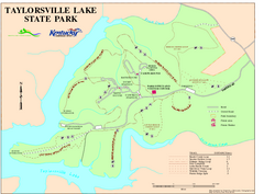
Taylorsville Lake State Park Map
Map of trails and facilities in Taylorsville Lake State Park.
168 miles away
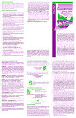
Charlestown State Park Map
168 miles away
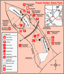
Frank Holten State Park, Illinois Site Map
169 miles away
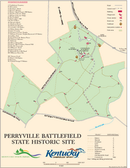
Perryville Battlefield State Historic Site Map
Map of trails and interpretive markers for the historical site of Perryville Battlefield.
173 miles away
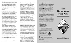
Old Davidsonville State Park Map
Map of Old Davidsonville State Park historical sites, amenites and other park sites.
174 miles away

