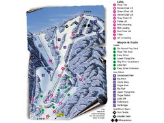
Sugar Mountain Resort Ski Trail Map
Trail map from Sugar Mountain Resort.
88 miles away
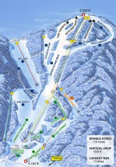
Sugar Mountain Ski Trail Map
Official ski trail map of Sugar Mountain ski area
88 miles away
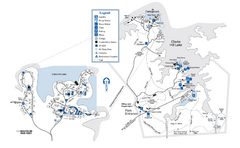
Mistletoe State Park Map
Map of park with detail of trails and recreation zones
88 miles away
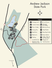
Andrew Jackson State Park Map
Clear and legible park map and legend.
89 miles away
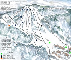
Beech Mountain Ski Resort Ski Trail Map
Trail map from Beech Mountain Ski Resort.
92 miles away
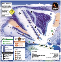
Appalachian Ski Trail Map
Official ski trail map of Appalachian ski area
95 miles away
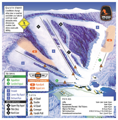
Appalachian Ski Mtn. Ski Trail Map
Trail map from Appalachian Ski Mtn..
95 miles away
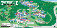
Tweetsie Railroad Park Map
Tweetsie Railroad is a unique attraction that allows children and families to explore their...
95 miles away
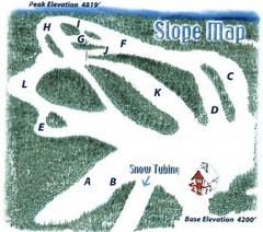
Hawksnest Golf & Ski Resort Ski Trail Map
Trail map from Hawksnest Golf & Ski Resort.
96 miles away
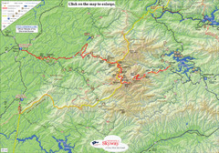
Cherohala Map
Map of Cherohala Skyway. Includes Visitor Information, roads, camping areas, and trails.
98 miles away
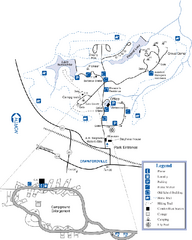
A. H. Stephens Historic Park Map
Map of park with detail of trails and recreation zones
99 miles away
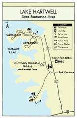
Lake Hartwell State Park Map
Clear state park map.
100 miles away
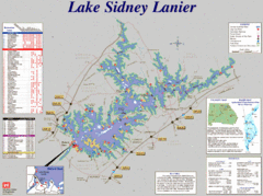
Lake Sidney Lanier Recreation Map
Recreation map of Lake Sidney Lanier in Georgia. Shows campgrounds, day use parks, marinas, and...
101 miles away
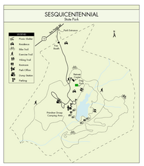
Sesquicentennial State Park Map
Map of this beautiful state park.
101 miles away
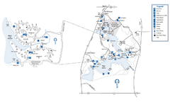
Fort Yargo State Park Map
Map of park with detail of trails and recreation zones
102 miles away
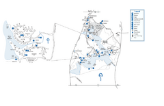
Fort Yargo State Park map
Detailed recreation and camping map for Fort Yargo State Park in Georgia
102 miles away
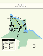
Aiken State Park Map
Small and simple state park map.
107 miles away
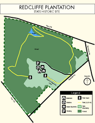
Redcliffe Plantation State Park Map
Clear map of this wonderful state park with a beautiful natural setting.
108 miles away
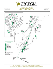
Amicalola Falls State Park Map
Map of park with detail of trails and recreation zones
110 miles away
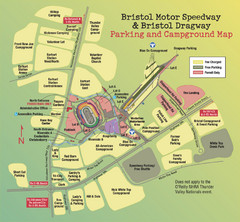
Bristol Motor Speedway Map
Guide to the campgrounds and parking at the Speedway
110 miles away
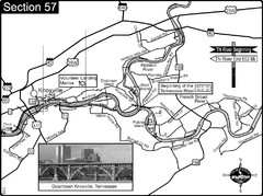
Knoxville, TN Tennessee River/Holston River...
This is the source of the Tennessee River at the confluence of the Holston River and French Broad...
110 miles away
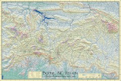
Boone, NC Outdoor Recreation Map
Guide to Boone, NC region
111 miles away
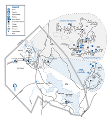
Hard Labor Creek State Park Map
Map of park with detail of trails and recreation zones
113 miles away
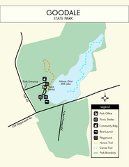
Goodale State Park Map
Easy to read state park map.
114 miles away
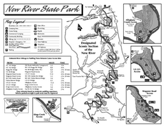
New River State Park map
Detailed recreation map for the New River State Park in North Carolina
119 miles away
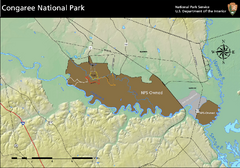
Congaree National Park Official Park Map
Official NPS map of Congaree National Park. Map shows all areas. Congaree National Park is open...
120 miles away
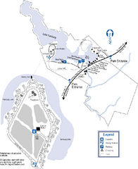
Hamburg State Park Map
Map of park with detail of trails and recreation zones
121 miles away
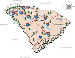
South Carolina State Park Map
Shows state parks in South Carolina
122 miles away
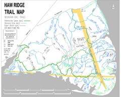
Haw Ridge Trail Map
126 miles away
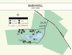
Barnwell State Park Map
Simple map of this state park.
126 miles away
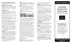
Grayson Highlands State Park Map
Clear and descriptive map of this beautiful state park.
127 miles away
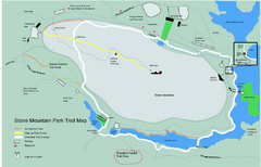
Stone Mountain Park Trail map
Trail map of Stone Mountain Park near Atlanta, GA
128 miles away
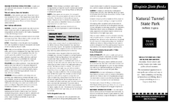
Natural Tunnel State Park Map
Detailed and informative state park map and legend.
128 miles away
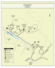
Poinsett State Park Map
Map and legend for this wonderful state park, marking bathrooms, camping grounds, roads, and more.
130 miles away
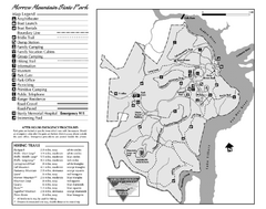
Morrow Mountain State Park map
Detailed recreational map for Morrow Mountain State Park in North Carolina
133 miles away
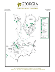
Fort Mountain State Park Map
Map of park with detail of trails and recreation zones
133 miles away
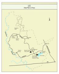
Lee State Park Map
Simple map of this state park.
134 miles away
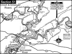
Kingston, TN Tennessee River/Clinch River/Emory...
Shows a bend on the Tennessee River at the confluence of the Clinch & Emory Rivers. For boat...
136 miles away

Panola Mountain State Park Map
Map of park with detail of trails and recreation zones
137 miles away
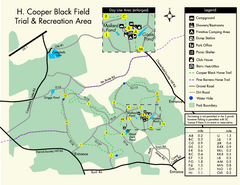
H. Cooper Black Field Map
Detailed map and legend of this state park.
138 miles away

