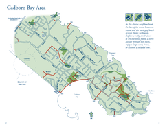
Cadboro Bay Area Map
59 miles away
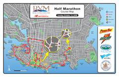
2008 Royal Victoria Half Marathon Map
Course Map for the Royal Victoria Half Marathon. Held Sunday, October 12, 2008
60 miles away
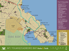
Mt. Tolmie & Cadboro Bay Map
Section of larger map, showing Seaside Touring Route and other regional and local cycling routes...
60 miles away
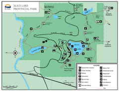
Alice Lake Provincal Park Map
60 miles away
BEACON HILL PARK MAP
61 miles away
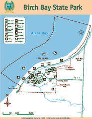
Birch Bay State Park Map
Map of park with detail of trails and recreation zones
61 miles away
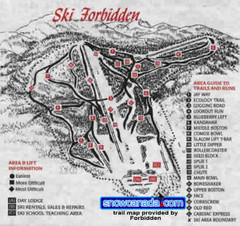
Pre-1999 Forbidden Plateau Map #2
Trail map from Forbidden Plateau.
61 miles away
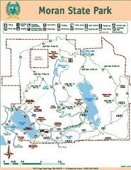
Moran State Park Map
Map of park with detail of trails and recreation zones
66 miles away
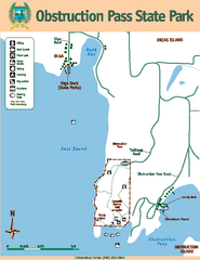
Obstruction Pass State Park Map
Map of park with detail of trails and recreation zones
68 miles away
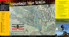
Mt. Washington Resort Summer Mountain Biking Ski...
Trail map from Mt. Washington Resort, which provides downhill and nordic skiing.
69 miles away
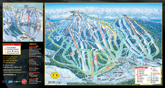
Mt. Washington Resort Ski Trail Map
Trail map from Mt. Washington Resort, which provides downhill and nordic skiing.
69 miles away
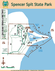
Spencer Spit State Park Map
Map of park with detail of trails and recreation zones
69 miles away
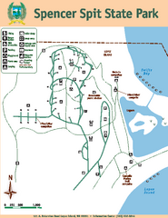
Spencer Spit State Park Map
Map of park with detail of trails and recreation zones
69 miles away
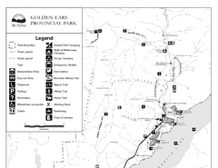
Golden Ears Provincial Park Map
Park map of Golden Ears Provincial Park, BC. 2 pages.
76 miles away
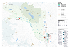
Callaghan Country Nordic Ski Trail Map
Trail map from Callaghan Country, which provides nordic skiing. This ski area opened in 1998, and...
79 miles away
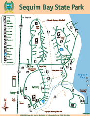
Sequim Bay State Park Map
Map of park with detail of trails and recreation zones
79 miles away
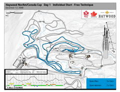
Whistler Olympic Park (Callaghan Nordic Centre...
Trail map from Whistler Olympic Park (Callaghan Nordic Centre), which provides night and nordic...
79 miles away
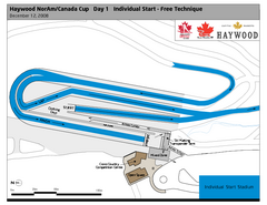
Whistler Olympic Park (Callaghan Nordic Centre...
Trail map from Whistler Olympic Park (Callaghan Nordic Centre), which provides night and nordic...
79 miles away
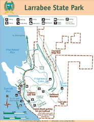
Larrabee State Park Map
Park map of Larrabee State Park, Washington.
80 miles away
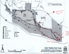
Lake Padden Park Trails Map
Course Elevation Map noted in handwriting on map. Festival location noted as well.
80 miles away
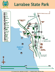
Larrabee State Park Map
Map of island with detail of trails and recreation zones
80 miles away
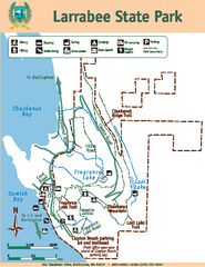
Larrabee State Park Map
Map of island with detail of trails and recreation zones
80 miles away

Whistler Blackcomb Trail map 2010-2011
Official ski trail map Whistler Blackcomb for the 2010-2011 season.
81 miles away
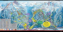
Whistler Blackcomb Ski Trail map 2005-06
Official ski trail map of the Whistler Blackcomb ski area from the 2005-2006 season. Site of the...
81 miles away

Whistler Blackcomb Ski Trail Map 2007-2008
Official ski trail map of the Whistler Blackcomb ski area from the 2007-2008 season. Site of Alpine...
82 miles away
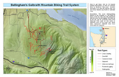
Bellingham Galbraith Mountain Biking Trail Map
Mountain biking trail map of Whatcom Falls Park near Bellingham, WA
82 miles away

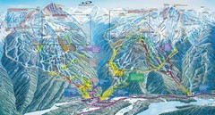
Whistler Blackcomb Ski Resort Map
Ski runs, lifts and amenities on the resort map
82 miles away
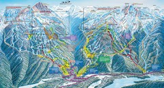
Whistler Blackcomb Trail Map
82 miles away
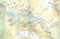
Whistler, CA Hiking and Biking Trails Map
82 miles away
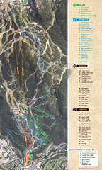
Whistler Blackcomb (Garibaldi Lift Co.) Biking...
Trail map from Whistler Blackcomb (Garibaldi Lift Co.), which provides downhill, night, and terrain...
82 miles away
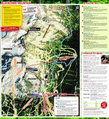
Whistler Blackcomb (Garibaldi Lift Co.) Hiking...
Trail map from Whistler Blackcomb (Garibaldi Lift Co.), which provides downhill, night, and terrain...
82 miles away
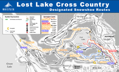
Whistler Cross Country Connection Snowshoeing Ski...
Trail map from Whistler Cross Country Connection.
83 miles away
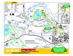
Whistler Cross Country Connection 2006–07...
Trail map from Whistler Cross Country Connection.
83 miles away
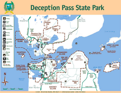
Deception Pass State Park Map
Map of park with detail of trails and recreation zones
83 miles away
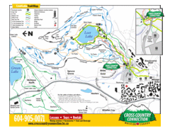
Lost Lake, Whistler Hiking and Biking Trail Map
84 miles away
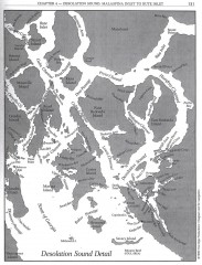
Desolation Sound Detail Map
Shows general geography of Desolation Sound from Malaspina Inlet to Bute Inlet. Shows Cortes Bay...
84 miles away
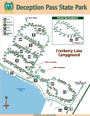
Deception Pass State Park Map
Map of park with detail of trails and recreation zones
84 miles away
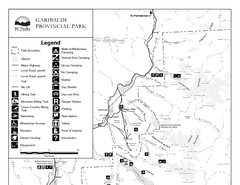
Garibaldi Provincial Park Map
Park map of Garibaldi Provincial Park, BC. 2 pages.
84 miles away
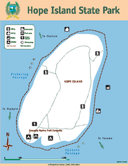
Hope Island State Park Map
Map of park with detail of trails and recreation zones
85 miles away

