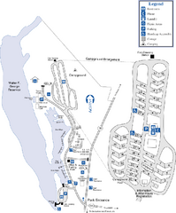
Florence Marina State Park Map
Map of park with detail of trails and recreation zones
191 miles away
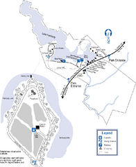
Hamburg State Park Map
Map of park with detail of trails and recreation zones
192 miles away
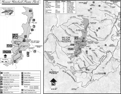
Mount Mitchell State Park map
Official map of Mt. Mitchell State Park in North Carolina. Park contains the 6,684 ft summit of...
192 miles away
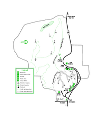
Providence Canyon State Park Map
Map of park with detail of trails and recreation zones
195 miles away
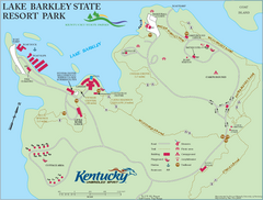
Lake Barkley State Resort Park Map
Map of the trails and facilities of Lake Barkley State Resort Park.
195 miles away
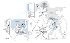
Mistletoe State Park Map
Map of park with detail of trails and recreation zones
196 miles away
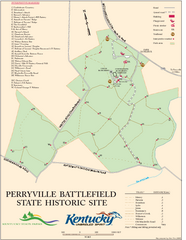
Perryville Battlefield State Historic Site Map
Map of trails and interpretive markers for the historical site of Perryville Battlefield.
198 miles away
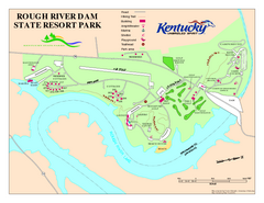
Rough River Dam State Resort Park Map
Map of trails, facilities and golf course in Rough River Dam State Resort Park.
200 miles away
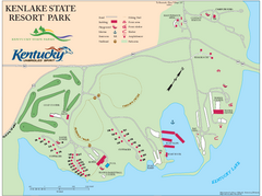
KenLake State Resort Park Map
Map of trails, facilities, and golf course for the KenLake State Resort Park located on the mid...
201 miles away
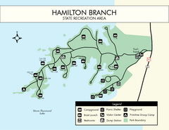
Hamilton Branch State Park Map
Simple state park map.
201 miles away
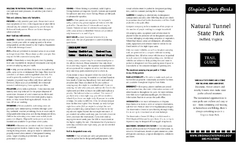
Natural Tunnel State Park Map
Detailed and informative state park map and legend.
204 miles away
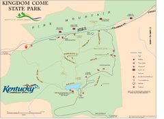
Kingdom Come State Park Map
Trail map for Kingdom Come State Park.
205 miles away
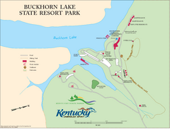
Buckhorn Lake State Resort Park Map
Map of Trails and Facilities of Buckhorn Lake State Resort Park.
207 miles away
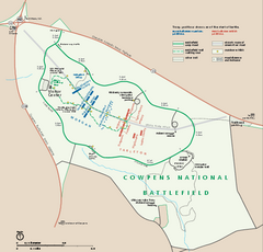
Cowpens National Battlefield Official Map
Official NPS map of Cowpens National Battlefield in South Carolina. Open 9:00 a.m. - 5:00 p.m...
209 miles away
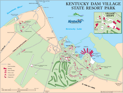
Kentucky Dam Village State Resort Park Map
Map of golf course and facilities for Kentucky Dam Village State Resort Park, one of three state...
217 miles away
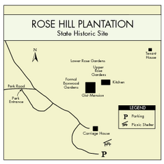
Rose Hill Plantation Map
Clear and simple state park map.
217 miles away
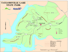
Taylorsville Lake State Park Map
Map of trails and facilities in Taylorsville Lake State Park.
219 miles away
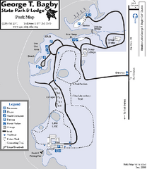
George T. Bagby State Park Map
Map of park with detail of trails and recreation zones
219 miles away
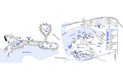
Georgia Veterans State Park Map
Map of park with detail of trails and recreation zones
219 miles away
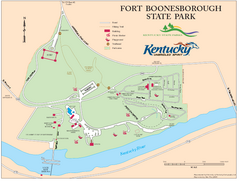
Fort Boonesborough State Park Map
Map of trails, historical sites and facilities at Fort Boonesborough State Park.
219 miles away
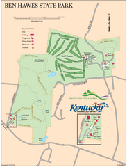
Ben Hawes State Park Map
Map of trails, facilities and golf course in Ben Hawes State Park.
226 miles away
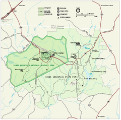
Kings Mountain National Military Park Official Map
Official NPS map of Kings Mountain National Military Park in South Carolina. Open Daily 9:00 a.m...
234 miles away
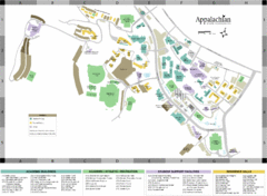
Appalachian State University Campus Map
Campus map of Appalachian State University in Boone, NC
234 miles away
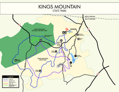
Kings Mountain State Park Map
Clearly marked state park map.
235 miles away
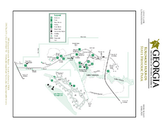
Kolomoki Mounds State Park Map
Map of park with detail of trails and recreation zones
235 miles away
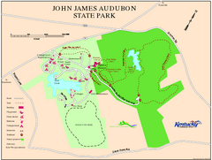
John James Audubon State Park Map
Map of trails, facilities and historical sites in John James Audubon State Park.
240 miles away
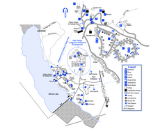
Little Ocmulgee State Park Map
Map of park with detail of trails and recreation zones
241 miles away
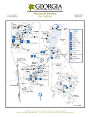
Magnolia Springs State Park Map
Map of park with detail of trails and recreation zones
243 miles away
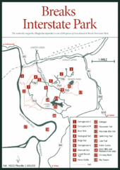
Breaks Interstate Park Map
Clear park map and legend.
245 miles away
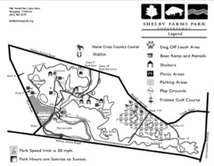
Shelby Farms Park Activities Areas Map
Visitor map of Shelby Farms Park. Shows parameters of dog areas, parking, play grounds, shelters...
246 miles away

Charlestown State Park Map
249 miles away
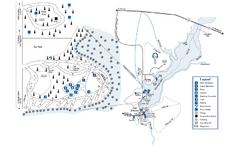
George L. Smith State Park Map
Map of park with detail of trails and recreation zones
250 miles away
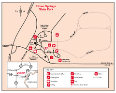
Dixon Springs State Park, Illinois Site Map
250 miles away
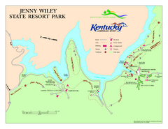
Jenny Wiley State Resort Park Map
Map of trails and facilities of Jenny Wiley State Resort Park.
250 miles away
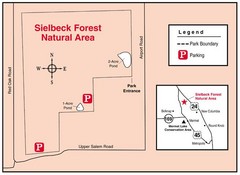
Sielbeck Forest, Illinois Site Map
252 miles away
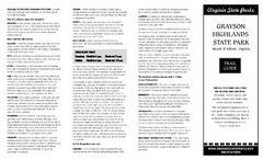
Grayson Highlands State Park Map
Clear and descriptive map of this beautiful state park.
255 miles away
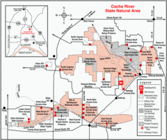
Cache River, Illinois Site Map
262 miles away
Hungry Mother State Park Map
Detailed map of this small state park.
263 miles away
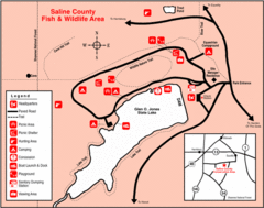
Saline County State Fish & Wildlife Area...
263 miles away
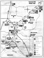
Tunnel Hill State Trail, Illinois Site Map
264 miles away

