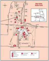
Red Hills, Illinois State Park Site Map
205 miles away
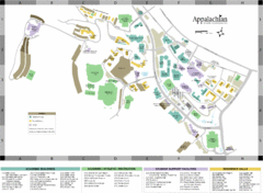
Appalachian State University Campus Map
Campus map of Appalachian State University in Boone, NC
206 miles away
Chain O' Lakes State Park, Indiana Site Map
207 miles away
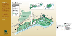
Side Cut Metropark Map
210 miles away
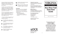
New River Trail State Park Map
Clear and detailed state park map.
212 miles away
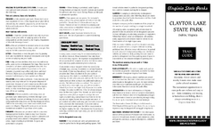
Claytor Lake State Park Map
Map of this beautiful state park.
212 miles away
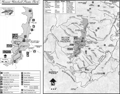
Mount Mitchell State Park map
Official map of Mt. Mitchell State Park in North Carolina. Park contains the 6,684 ft summit of...
215 miles away
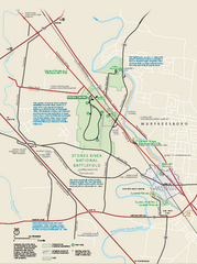
Stones River National Battlefield Official Map
Official NPS map of Stones River National Battlefield in Virginia. 8 AM to 5 PM Daily Pedestrians...
226 miles away
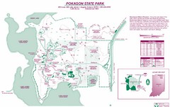
Pokagon State Park Map
Trail map of Pokagon State Park on Lake James in Angola, Indiana
226 miles away
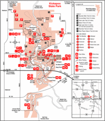
Kickapoo State Park, Illinois Site Map
226 miles away
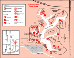
Walnut Point State Park, Illinois Site Map
229 miles away
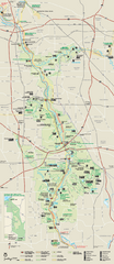
Cuyahoga Valley National Park Official Park Map
Official NPS map of Cuyahoga Valley National Park in Ohio. Map shows all areas. Cuyahoga Valley...
230 miles away
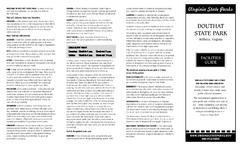
Douthat State Park Map
Clear state park map with marked facilities.
235 miles away
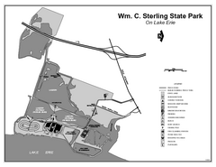
Sterling State Park, Michigan Site Map
238 miles away
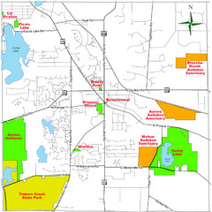
Aurora City Parks Map
Map of city parks in Aurora, Ohio.
240 miles away
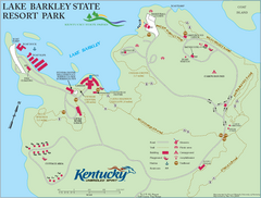
Lake Barkley State Resort Park Map
Map of the trails and facilities of Lake Barkley State Resort Park.
243 miles away
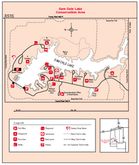
Sam Dale Lake, Illinois Site Map
246 miles away
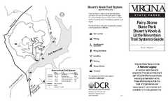
Fairy Stone State Park Map
Clearly marked state park map with trail system.
247 miles away
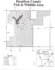
Hamilton County Wildlife Area, Illinois Site Map
247 miles away
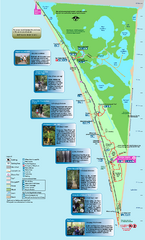
Point Pelee National Park Map
Large and clear national park map
249 miles away
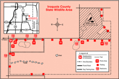
Iroquois County State Wildlife Area, Illinois...
249 miles away
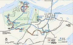
Fort Donelson National Battlefield Official Map
Official NPS map of Fort Donelson National Battlefield in Tennessee. Fort Donelson visitor center...
252 miles away
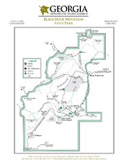
Black Rock Mountain State Park Map
Map of park with detail of trails and recreation zones
253 miles away
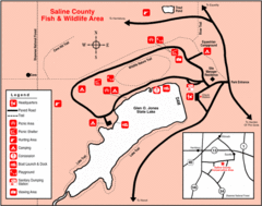
Saline County State Fish & Wildlife Area...
253 miles away
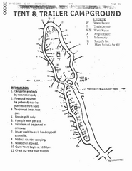
Hanging Rock, campground site map
Hanging Rock State park, map of family campground sites
254 miles away
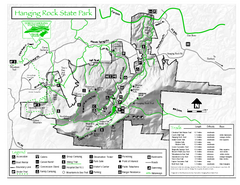
Hanging Rock state park Map
Interior color map of Hanging Rock State Park.
254 miles away
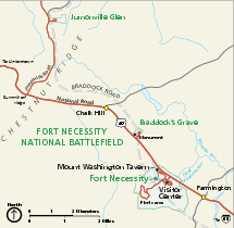
Fort Necessity National Battlefield Official Map
Official NPS map of Fort Necessity National Battlefield in Pennsylvania. The park is open daily...
255 miles away
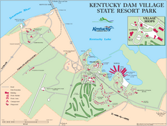
Kentucky Dam Village State Resort Park Map
Map of golf course and facilities for Kentucky Dam Village State Resort Park, one of three state...
255 miles away
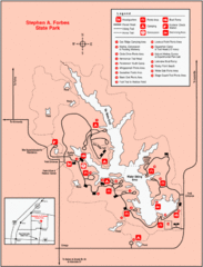
Stephen A. Forbes State Park, Illinois Site Map
255 miles away
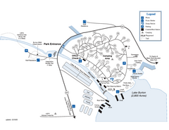
Moccasin Creek State Park Map
Map of park with detail of trails and recreation zones
256 miles away
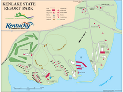
KenLake State Resort Park Map
Map of trails, facilities, and golf course for the KenLake State Resort Park located on the mid...
256 miles away
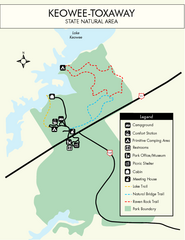
Keowee Toxaway State Park Map
Clear and detailed map of this wonderful state park.
257 miles away

Kennywood Theme Park Map
"America's Finest Traditional Amusement Park" is the slogan for this fun, high rated...
257 miles away
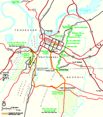
Chickamauga & Chattanooga National Military...
Official NPS map of Chickamauga & Chattanooga National Military Park in Georgia. All units of...
259 miles away
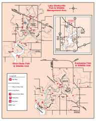
Shelbyville Fish and Wildlife Area, Illinois Map
262 miles away
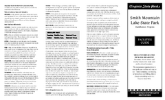
Smith Mountain Lake State Park Map
Hiking, horse back, fishing and more are all available at this amazing state park.
263 miles away
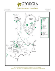
Fort Mountain State Park Map
Map of park with detail of trails and recreation zones
263 miles away
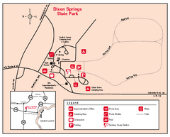
Dixon Springs State Park, Illinois Site Map
264 miles away
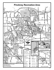
Pinckney State Park, Michigan Site Map
265 miles away
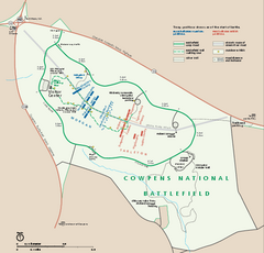
Cowpens National Battlefield Official Map
Official NPS map of Cowpens National Battlefield in South Carolina. Open 9:00 a.m. - 5:00 p.m...
266 miles away

