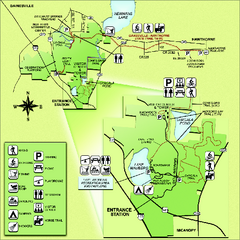
Paynes Prairie State Preserve Map
Map of preserve with detail of trails and recreation zones
219 miles away
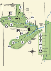
Ravine Gardens State Park Map
Map of park with detail of trails and recreation zones
222 miles away
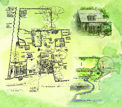
Dudley Farm Historic State Park Map
Map of park with detail of historical monuments
226 miles away
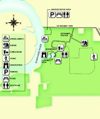
Fanning Springs State Park Map
Map of park with detail of trails and recreation zones
228 miles away
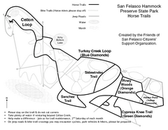
San Felasco Hammock Preserve State Park Horse...
Map of horse trails throughout preserve
231 miles away
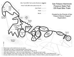
San Felasco Hammock Preserve State Park Bike...
Map of bike trails throughout preserve
231 miles away
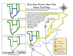
River Rise Preserve State Park Horse Trail Map
Map of horse trails throughout preserve
245 miles away
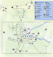
OLeno State Park Map
Map of park with detail of trails and recreation zones
245 miles away
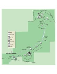
Ichetucknee Springs State Park Map
Map of park with detail of trails and recreation zones
250 miles away
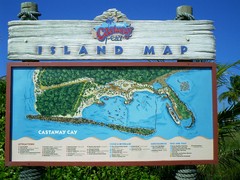
Castaway Cay Island Tourist Map
Tourist map of Disney's private Castaway Cay Island in the Bahamas. From photo of sign.
271 miles away
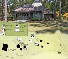
Forest Capital Museum State Park Map
Map of park with detail of recreation zones
274 miles away
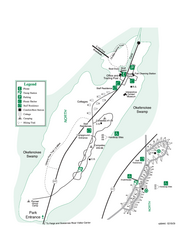
Stephen C. Foster State Park Map
Map of park with detail of trails and recreation zones
275 miles away
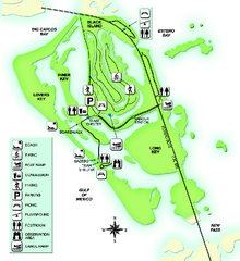
Lovers Key State Park Map
Map of park with detail of trails and recreation zones
279 miles away
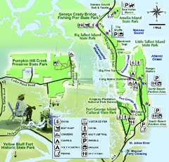
Jacksonville Area Florida State Parks Map
Overview map of Florida State Parks near Jacksonville, Florida. Shows Pumpkin Hill Creek Preserve...
280 miles away
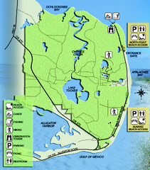
Bald Point State Park Map
Map of park with detail of trails and recreation zones
285 miles away
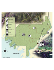
Econfina River State Park Map
Map of park with detail of trails and recreation zones
286 miles away
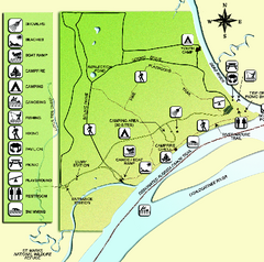
Ochlockonee River State Park Map
Map of park with detail of trails and recreation zones
293 miles away
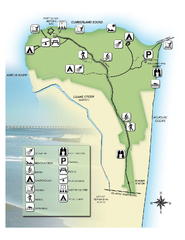
Fort Clinch State Park Map
Park map of Fort Clinch State Park in Amelia Island, Florida. Shows fort historic site, facilities...
296 miles away
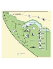
Edward Ball Wakulla Springs State Park Map
Map of park with detail of trails and recreation zones
300 miles away
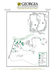
Crooked River State Park Map
Map of park with detail of trails and recreation zones
305 miles away
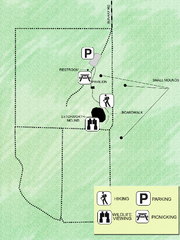
Letchworth-Love Mounds Map
Map of park with detail of trails and recreation zones
310 miles away
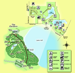
Alfred B. Maclay Gardens State Park Map
Map of park with detail of trails and recreation zones
317 miles away
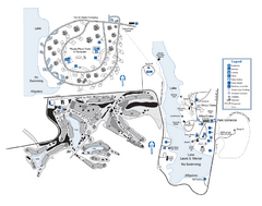
Laura S. Walker State Park Map
Map of park with detail of trails and recreation zones
326 miles away
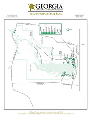
Reed Bingham State Park Map
Map of park with detail of trails and recreation zones
343 miles away
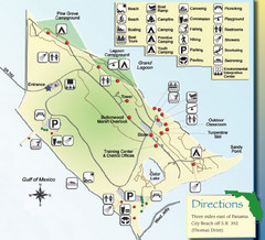
St. Andrews State Park Map
Overview map of St. Andrews State Park, #2 beach in America by TripAdvisor.com, 2008
347 miles away
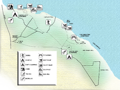
Three Rivers State Park Map
Map of park with detail of recreation zones
350 miles away
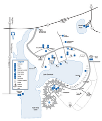
Seminole State Park Map
Map of park with detail of trails and recreation zones
353 miles away
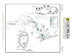
General Coffee State Park Map
Map of park with detail of trails and recreation zones
356 miles away
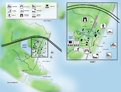
Camp Helen State Park Map
Map of park with detail of various recreation zones
365 miles away
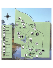
Falling Waters State Recreation Area Map
Map of park with detail of trails and recreation zones
371 miles away
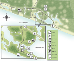
Grayton Beach State Park Map
Map of park with detail of trails and recreation zones
374 miles away
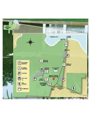
Eden Gardens State Park Map
Map of park with detail of gardens
375 miles away

Fort McAllister Historic Park Map
Map of park with detail of trails and recreation zones
379 miles away
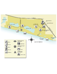
Topsail Hill Preserve State Park Map
Map of park with detail of recreation zones
382 miles away
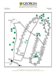
Skidaway Island State Park Map
Map of park with detail of trails and recreation zones
385 miles away
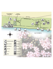
Henderson State Park Map
Map of park with detail of trails and recreation zones
389 miles away
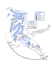
Gordonia-Alatamaha State Park Map
Map of park with detail of trails and recreation zones
391 miles away
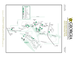
Kolomoki Mounds State Park Map
Map of park with detail of trails and recreation zones
394 miles away
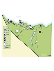
Fred Gannon Rocky Bayou State Park Map
Map of park with detail of trails and recreation zones
394 miles away
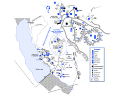
Little Ocmulgee State Park Map
Map of park with detail of trails and recreation zones
396 miles away

