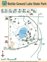
Battle Ground Lake State Park Map
Map of park with detail of trails and recreation zones
168 miles away
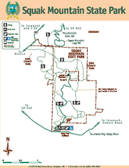
Squak Mountain State Park Map
Map of park with detail of trails and recreation zones
168 miles away
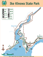
Ike Kinswa State Park Map
Map of park with detail of trails and recreation zones
169 miles away
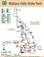
Wallace Falls State Park Map
Map of park with detail of trails and recreation zones
169 miles away
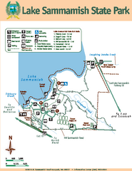
Lake Sammamish State Park Map
Map of island with detail of trails and recreation zones
171 miles away
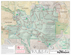
Cougar Mountain Park Trail Map
Trail map of Cougar Mountain Regional Wildland Park, part of the "Issaquah Alps"
171 miles away
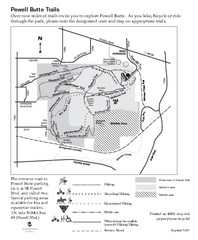
Powell Butte Nature Park Trail Map
Trail map of Powell Butte Nature Park. Shows over 9 miles of trails
174 miles away
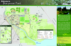
Marymoor Park Map
177 miles away
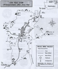
Little Pend Oreille Off Road Vehicle (ORV) Area...
Map of the Off Road Vehicle Area in Little Pend Oreille, Washington. Includes all bike trails...
177 miles away
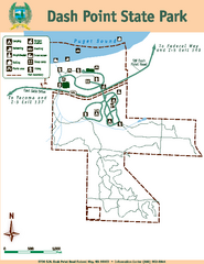
Dash Point State Park Map
Map of park with detail of trails and recreation zones
177 miles away
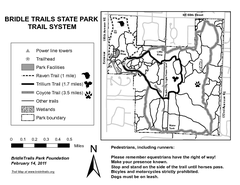
Bridle Trails State Park Map
179 miles away
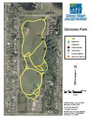
Genesee Park Trail Map
Trail map of Genesee Park in Mt Baker, Seattle, WA
180 miles away
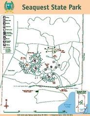
Seaquest State Park Map
Map of park with detail of trails and recreation zones
181 miles away
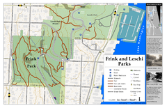
Frink Park and Leschi Park Map
181 miles away
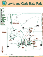
Lewis and Clark State Park Map
Map of park with detail of recreation zones and trails
182 miles away
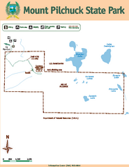
Mount Pilchuck State Park Map
Map of park with detail of trails and recreation zones
182 miles away

Washington Park Arboretum Trail Map
Trail map of Washington Park Arboretum in Seattle.
183 miles away
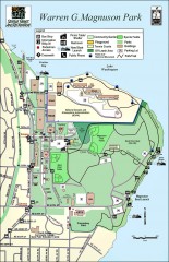
Warren G. Magnuson Park Map
Map of Warren G. Magnuson Park Warren G. Magnuson Park sits on a splendid mile-long stretch of...
183 miles away
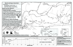
Forest Park Mountain Biking Map
Forest Park now includes over 5,100 wooded acres making it the largest, forested natural area...
185 miles away
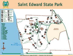
Saint Edward State Park Map
Map of park with detail of trails and recreation zones
185 miles away
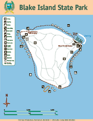
Blake Island State Park Map
Map of park with detail of trails and recreation zones
188 miles away

Centennial Trail Map
188 miles away
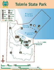
Tolmie State Park Map
Map of park with detail of trails and recreation zones
188 miles away
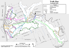
Carkeek Park Trail Map
Trail map of Carkeek Park on the Puget Sound, Seattle, WA. Shows maintained and unmaintained trails.
189 miles away
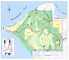
Discovery Park trail map
Trail and facility map of Discovery Park. Discovery Park is a 534 acre natural area park operated...
189 miles away
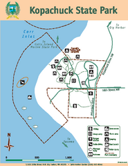
Kopachuck State Park Map
Map of island with detail of trails and recreation zones
189 miles away

Centennial Trail Map
Centennial Trail has 23 miles completed (Snohomish to Bryant) with more in progress.
189 miles away
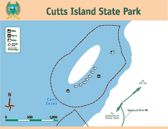
Cutts Island Stay Park Map
Map of park with detail of trails and recreation zones
189 miles away
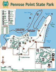
Penrose Point State Park Map
Map of park with detail of trails and recreation zones
190 miles away
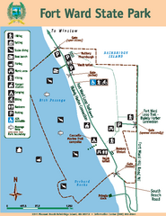
Fort Ward State Park Map
Map of park with detail of trails and recreation zones
191 miles away
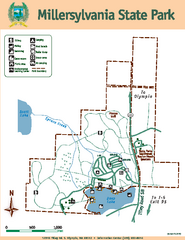
Millersylvania State Park Map
Map of park with detail of trails and recreation zones
191 miles away
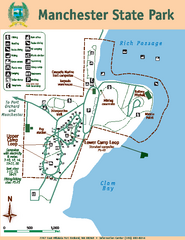
Manchester State Park Map
Map of park with detail of trails and recreation zones
191 miles away
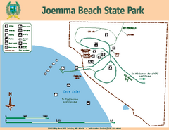
Joemma Beach State Park Map
Map of park with detail of trails and recreation zones
192 miles away
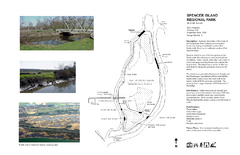
Spencer Island Park map
192 miles away
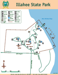
Illahee State Park Map
Map of park with detail of trails and recreation zones
194 miles away
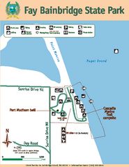
Fay Bainbridge State Park Map
Map of park with detail of trails and recreation zones
194 miles away
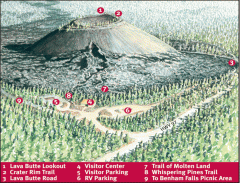
Newberry National Volcanic Monument - Lava Lands...
Map of Lava Butte which rises 500 feet above the visitor center. This cinder cone erupted 7,000...
194 miles away
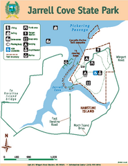
Jarrell Cove State Park Map
Map of park with detail of trails and recreation zones
197 miles away
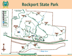
Rockport State Park Map
Map of park with detail of trails and recreation zones
199 miles away
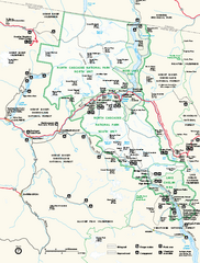
North Cascades National Park map
Official NPS map of North Cascades National Park, Washington. Shows the entire park and...
200 miles away

