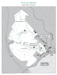
Pulgas Ridge Open Space Preserve Map
Trail map of Pulgas Ridge Open Space Preserve. 366 acres and 6 miles of trails
22 miles away
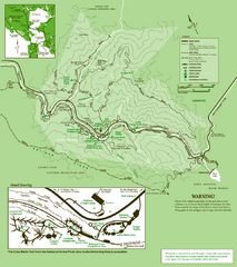
Samuel Taylor State Park Trail Map
Trail map of Samuel Taylor State Park near Lagunitas, CA.
22 miles away
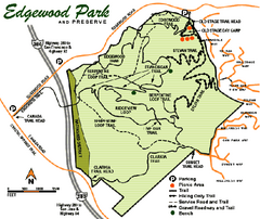
Edgewood County Park Trail Map
Trail map of Edgewood Park and Preserve in Redwood City, California.
23 miles away
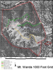
Mt. Wanda Aerial Trail Map
Trail map of Mt. Wanda area in the John Muir National Historic Site.
24 miles away
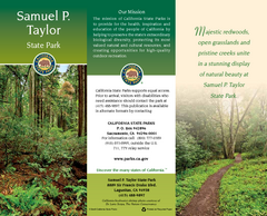
Samuel P. Taylor State Park Map
Map of park with detail of trails and recreation zones
24 miles away
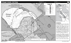
Phleger Estate Trail Map
Trail map of Phleger Estate, part of the Golden Gate National Recreation Area, in Woodside...
24 miles away
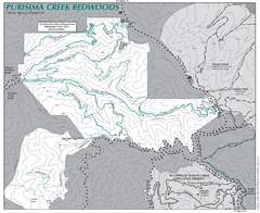
Purisima Open Space Preserve Map
Trail map of Purisima Open Space Preserve. Shows all mountain biking, hiking, and horseback riding...
24 miles away
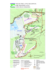
Indian Tree, Little Mountain, and Verissimo Hills...
25 miles away
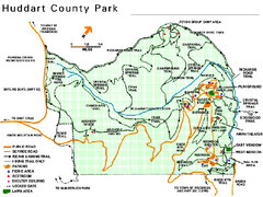
Huddart County Park Map
Trail map of Huddart County Park near Woodside, California.
25 miles away
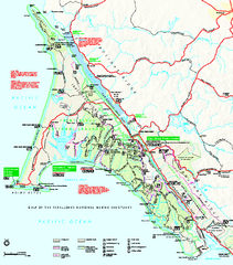
Point Reyes National Seashore Map
Official NPS map of Point Reyes National Seashore in Marin County, California. Shows trails, roads...
26 miles away

Mt. Burdell Open Space Preserve Map
Trail map of Mt. Burdell Open Space Preserve and Olompali State Historic Park in Novato, Marin...
27 miles away
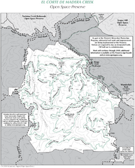
El Corte de Madera Open Space Preserve Map
Trail map of El Corte de Madera Open Space Preserve. Shows all mountain biking, hiking, and...
27 miles away
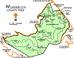
Wunderlich County Park Map
Trail map of Wunderlich County Park near Woodside, California. "The Alambique Trail offers a...
27 miles away
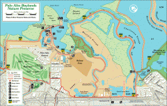
Palo Alto Baylands Nature Preserve Map
Map of the Palo Alto Baylands Nature Preserve in Palo Alto, CA. Shows trails, including part of...
30 miles away
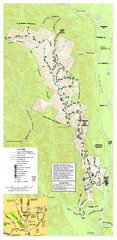
Pleasanton Ridge Regional Park Map
30 miles away
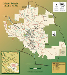
Mt. Diablo State Park Map
Trail map of Mt. Diablo State Park near Walnut Creek, CA
31 miles away
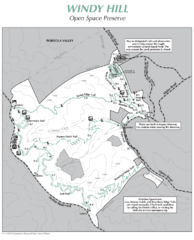
Windy Hill Open Space Preserve Map
Trail map of Windy Hill Open Space Preserve. 1312 acres and 12.2 miles of trails
31 miles away
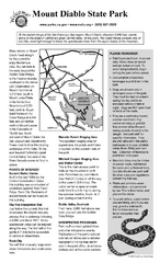
Mount Diablo State Park Campground Map
Map of park with detail of trails and recreation zones
31 miles away
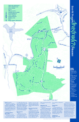
Arastradero Preserve Map
Trail map of Arastradero Preserve shows 10.25 miles of trails.
31 miles away
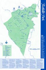
Palo Alto Foothills Park Map
Trail map of Palo Alto Foothills Park. 1400 acres and 15 miles of trails.
33 miles away
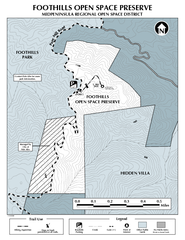
Foothills Regional Open Space Preserve Map
Preserve map of 212 acre Foothills Regional Open Space Preserve. A 0.4 mile trail leads from Page...
33 miles away
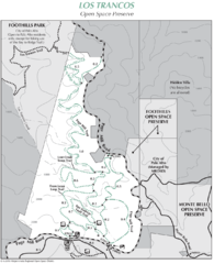
Los Trancos Open Space Preserve Map
Trail map of Los Trancos Open Space Preserve. Shows 274 acres, 5.2 miles of trails.
34 miles away
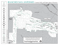
Rancho San Antonio Open Space Preserve Map
Park map of Rancho San Antonio Open Space Preserve near Los Altos, CA. Encompasses 3800 acres and...
35 miles away
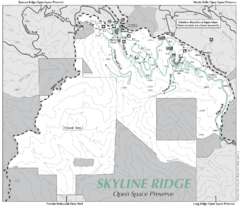
Skyline Ridge Open Space Preserve Map
Trail map of Skyline Ridge Open Space Preserve. Covers 2143 acres and 10.9 miles of trails
36 miles away
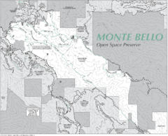
Monte Bello Open Space Preserve Map
Trail map of Monte Bello Open Space Preserve. Covers 3,142 acres and 15.5 miles of trails
36 miles away
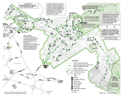
Mission Peak Preserve Map
Park map of Mission Peak Regional Preserve in Fremont, California. Topo map shows trails and trail...
36 miles away
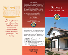
Sonoma State Historic Park Map
Map of park with detail of trails and recreation zones
37 miles away
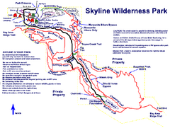
Skyline Wilderness Park Map
Trail map of Skyline Wilderness Park in Napa, California
37 miles away
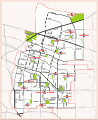
Sunnyvale map 94087 - City Parks
City parks map for Sunnyvale, California 94087. Go to the Sunnyvale Parks and Recreation site to...
37 miles away
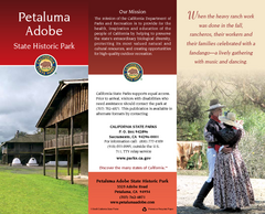
Petaluma Adobe State Historic Park Map
Map of park with detail of trails and recreation zones
37 miles away
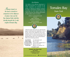
Tomales Bay State Park Map
Map of park with detail of trails and recreation zones
37 miles away
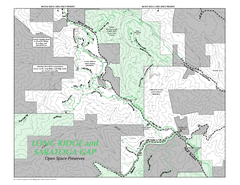
Long Ridge Open Space Preserve Map
38 miles away
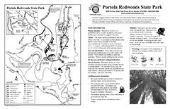
Portola Redwoods State Park Campground Map
Map of campground region of park with detail of trails and recreation zones
38 miles away
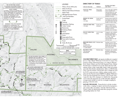
Sunol Regional Wilderness Trail Map - East
Trail map of eastern portion of Sunol Regional Wilderness in Sunol, California.
39 miles away
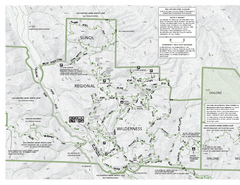
Sunol Regional Wilderness Trail Map - West
Trail map of western portion of Sunol Regional Wilderness in Sunol, California.
39 miles away
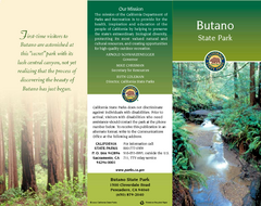
Butano State Park Map
Map of park with detail of trails and recreation zones
39 miles away
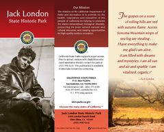
Jack London State Historic Park Map
Map of park with detail of trails and recreation zones
41 miles away
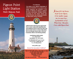
Pigeon Point Light Station State Historic Park Map
Map of park with detail of trails and recreation zones
41 miles away
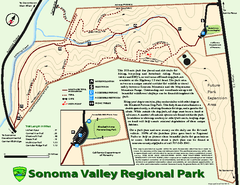
Sonoma Valley Regional Park Map
Trail map of 202 acre Sonoma Valley Regional Park.
41 miles away
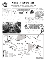
Castle Rock State Park Map
Map of park with detail of trails and recreation zones
42 miles away

