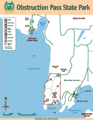
Obstruction Pass State Park Map
Map of park with detail of trails and recreation zones
1365 miles away
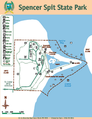
Spencer Spit State Park Map
Map of park with detail of trails and recreation zones
1367 miles away
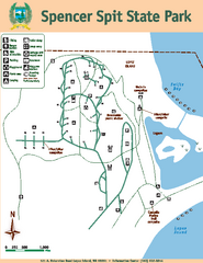
Spencer Spit State Park Map
Map of park with detail of trails and recreation zones
1367 miles away
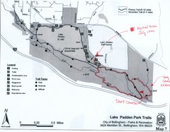
Lake Padden Park Trails Map
Course Elevation Map noted in handwriting on map. Festival location noted as well.
1372 miles away
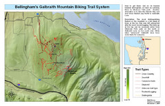
Bellingham Galbraith Mountain Biking Trail Map
Mountain biking trail map of Whatcom Falls Park near Bellingham, WA
1373 miles away
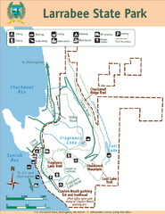
Larrabee State Park Map
Park map of Larrabee State Park, Washington.
1373 miles away
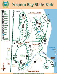
Sequim Bay State Park Map
Map of park with detail of trails and recreation zones
1373 miles away
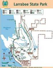
Larrabee State Park Map
Map of island with detail of trails and recreation zones
1373 miles away
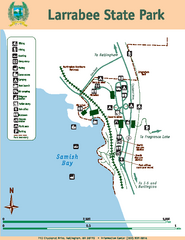
Larrabee State Park Map
Map of island with detail of trails and recreation zones
1373 miles away
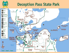
Deception Pass State Park Map
Map of park with detail of trails and recreation zones
1381 miles away
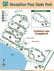
Deception Pass State Park Map
Map of park with detail of trails and recreation zones
1382 miles away
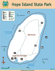
Hope Island State Park Map
Map of park with detail of trails and recreation zones
1382 miles away
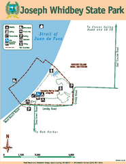
Joseph Whidbey State Park Map
Map of park with detail of trails and recreation zones
1383 miles away
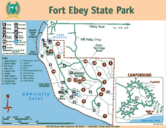
Fort Ebey State Park Map
Map of park with detail of trails and recreation zones
1386 miles away
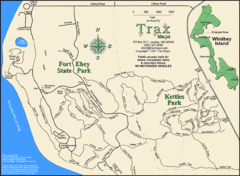
Ft Ebey/Kettle Park Trail Map
Trail map of Fort Ebey Park and Kettle Park, Washington
1386 miles away
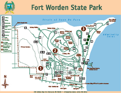
Fort Worden State Park Map
Map of park with detail of trails and recreation zones
1390 miles away
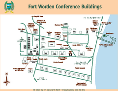
Fort Worden Conference Buildings Map
Map of conference buildings in Fort Worden State Park
1390 miles away
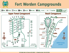
Fort Worden Campgrounds Map
Map of park campgrounds
1390 miles away
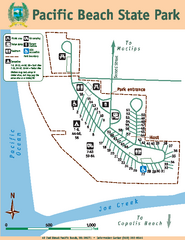
Pacific Beach State Park Map
Map of park with detail of trails and recreation zones
1394 miles away
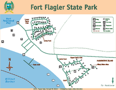
Fort Flagler State Park Map
Map of park with detail of trails and recreation zones
1394 miles away
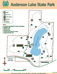
Anderson Lake State Park Map
Map of park and trails
1395 miles away
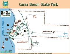
Cama Beach State Park Map
Map of park with detail of trails and recreation zones
1396 miles away
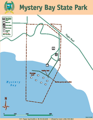
Mystery Bay State Park Map
Map of park with detail of trails and recreation zones
1396 miles away
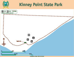
Kinney Point State Park Map
Map of island with detail of trails and recreation zones
1397 miles away
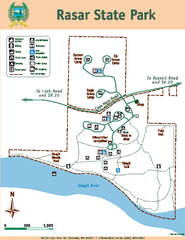
Rasar State Park Map
Map of park with detail of trails and recreation zones
1398 miles away
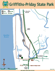
Griffiths-Priday State Park Map
Griffiths-Priday State Park
1399 miles away
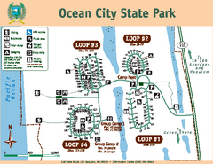
Ocean City State Park Map
Map of park with detail of trails and recreation zones
1404 miles away
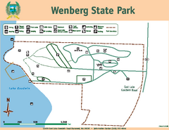
Wenberg State Park Map
Map of park with detail of trails and recreation zones
1405 miles away
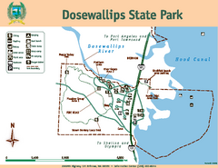
Dosewallips State Park Map
Map of park with detail of trails and recreation zones
1409 miles away
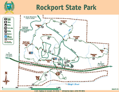
Rockport State Park Map
Map of park with detail of trails and recreation zones
1409 miles away
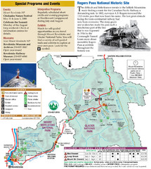
Glacier National Park and Revelstoke National...
Official park map of Glacier National Park and Revelstoke National Park in British Columbia, Canada.
1409 miles away
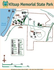
Kitsap Memorial State Park Map
Map of island with detail of trails and recreation zones
1410 miles away
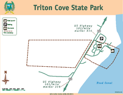
Triton Cove State Park Map
Map of park with detail of trails and recreation zones
1410 miles away
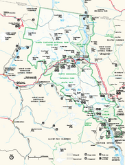
North Cascades National Park map
Official NPS map of North Cascades National Park, Washington. Shows the entire park and...
1413 miles away
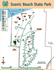
Scenic Beach State Park Map
Map of park with detail of trails and recreation zones
1413 miles away
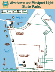
Westhaven/Westport Light State Parks Map
Map of park with detail of trails and recreation zones
1413 miles away
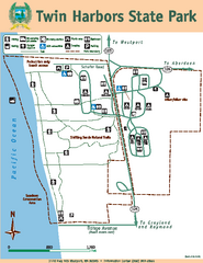
Twin Harbors State Park Map
Map of park with detail of trails and recreation zones
1415 miles away
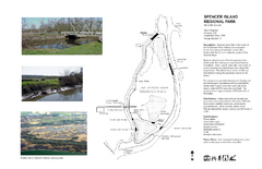
Spencer Island Park map
1416 miles away

Centennial Trail Map
Centennial Trail has 23 miles completed (Snohomish to Bryant) with more in progress.
1419 miles away
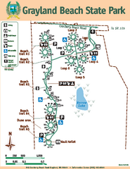
Grayland Beach State Park Map
Map of park with detail of trails and recreation zones
1419 miles away

