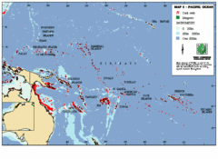
East Asian Pacific Ocean Map
Map of the Pacific Ocean surrounding East Asian Islands from the Solomon Islands to USA Hawaii.
9959 miles away
Near Hawaii, USA
2100 × 1527•451 KB•GIF
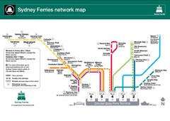
Sydney Ferries Map
Map of Sydney Ferry system with details of lines and stops
10041 miles away
Near Sydney, Australia
1155 × 817•126 KB•JPG
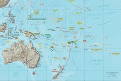
Oceania Map
Map of Oceania. Shows all island groups in the Pacific Ocean
10747 miles away
2361 × 1585•553 KB•JPG
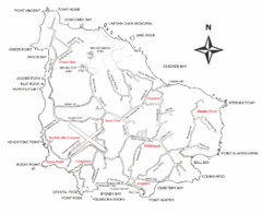
Norfolk Island Map
This map shows the entire Island including the various beaches and the town centre.
10934 miles away
Near Norfolk Island
934 × 758•60 KB•GIF
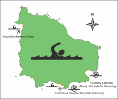
Norfolk Island Swim Zone Map
This helpful map shows safe and not safe swim areas on this amazing island.
10934 miles away
Near Norfolk Island
440 × 368•12 KB•GIF
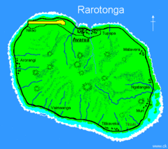
Rarotonga Island Map
Clear map marking rivers and towns.
11538 miles away
Near Rarotonga, Cook Islands
455 × 404•15 KB•GIF
page 2 of 2

