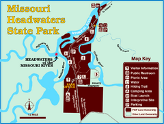
Missouri Headwaters State Park Map
This park encompasses the confluence of the Jefferson, Madison and Gallatin Rivers. The Lewis and...
4148 miles away
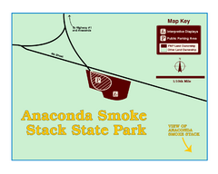
Anaconda Smoke Stack State Park Map
Simple map of State Park.
4154 miles away
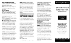
Smith Mountain Lake State Park Map
Hiking, horse back, fishing and more are all available at this amazing state park.
4174 miles away
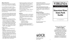
Staunton River State Park Map
Clear map marking trails, rest stops, facilities and more.
4180 miles away
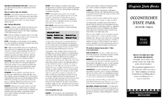
Occoneechee State Park Map
This map clearly marks rest stops, trails, campgrounds and more.
4181 miles away
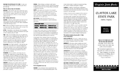
Claytor Lake State Park Map
Map of this beautiful state park.
4198 miles away
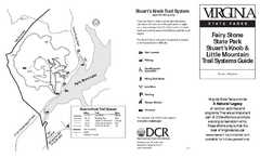
Fairy Stone State Park Map
Clearly marked state park map with trail system.
4204 miles away
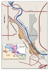
JackRabbit Ridge Natural Area Map
Shows urban wildlands
4216 miles away
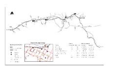
High Bridge Trail Map
Take a hike down this amazing Virginia trail.
4217 miles away
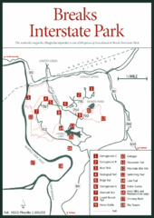
Breaks Interstate Park Map
Clear park map and legend.
4218 miles away
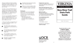
New River Trail State Park Map
Clear and detailed state park map.
4225 miles away
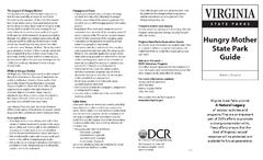
Hungry Mother State Park Map
Detailed map of this small state park.
4228 miles away
Grayson Highlands State Park Map
Clear and descriptive map of this beautiful state park.
4243 miles away
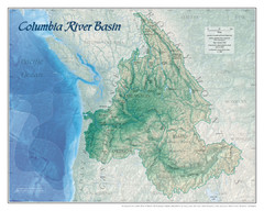
Columbia River Basin Map
4244 miles away
Natural Tunnel State Park Map
Detailed and informative state park map and legend.
4260 miles away
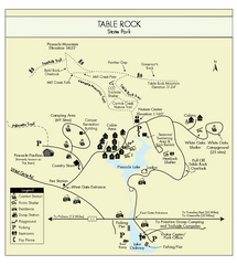
Table Rock State Park MAP
Clear and simple state park map and legend.
4371 miles away
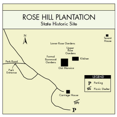
Rose Hill Plantation Map
Clear and simple state park map.
4377 miles away
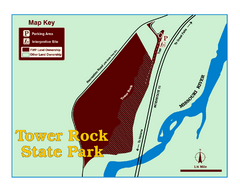
Tower Rock State Park Map
Tower Rock State Park is one of Montana's newest state parks. The 400-foot high igneous rock...
4387 miles away
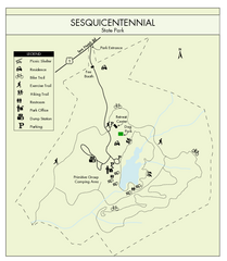
Sesquicentennial State Park Map
Map of this beautiful state park.
4394 miles away
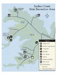
Sadlers Creek State Park Map
This simple map gives you an easy to follow layout of this amazing state park.
4412 miles away
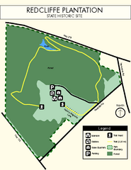
Redcliffe Plantation State Park Map
Clear map of this wonderful state park with a beautiful natural setting.
4457 miles away
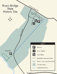
Rivers Bridge State Park Map
Nice and clear map of this history state park.
4464 miles away
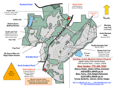
Davidson-Arabia Mountain Nature Preserve Map
Davidson-Arabia Mountain Nature Preserve is comprised of 570 acres of granite outcrop, wetlands...
4487 miles away
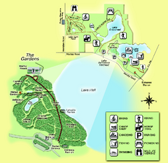
Alfred B. Maclay Gardens State Park Map
Map of park with detail of trails and recreation zones
4694 miles away
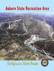
Auburn State Recreation Area Map
Map of park with detail of of trails and recreation zones
4732 miles away
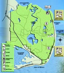
Bald Point State Park Map
Map of park with detail of trails and recreation zones
4735 miles away
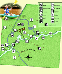
Blackwater River State Park Map
Map of park with detail of various recreation zones
4736 miles away
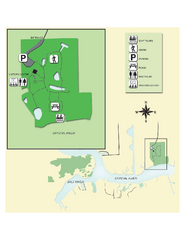
Crystal River Archeological State Park Map
Map of park with detail of trails and recreation zones
4765 miles away
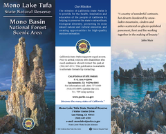
Mono Lake Tufa State Natural Reserve Map
Map of reserve with detail of trails and recreation zones
4773 miles away
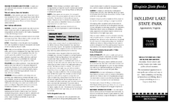
Holiday Lake State Park Map
Easy to read state park map.
4808 miles away
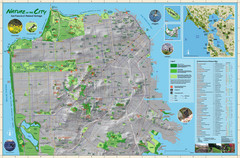
San Francisco Natural Heritage Map
Shows San Francisco's natural habitats and biodiversity is filled with fun facts, restoration...
4826 miles away
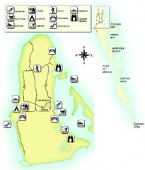
Cayo Costa State Park Map
Map of park with detail of trails and recreation zones
4901 miles away
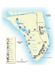
Bill Baggs State Recreation Area Map
Map of park with detail of various recreation zones
4922 miles away
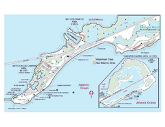
Bahia Honda State Park Map
Map of park with detail of recreation zones
5011 miles away
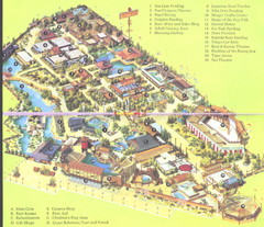
Japanese Village and Deer Park Map
Large and clear map.
5040 miles away
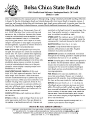
Bolsa Chica State Beach Map
Map of park with detail of of trails and recreation zones
5052 miles away
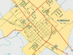
Floresville City Map
Street map of Floresville
5054 miles away
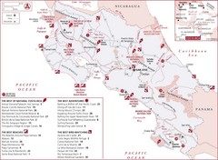
Costa Rica Nature map
Natural overview map of Costa Rica. Shows parks, beaches, adventure destinations, and bird...
6028 miles away

Wilderness National Park Map
7193 miles away

Lady Musgrave Island Map
Photo of map showing isliand and Lady Musgrave Reef
8619 miles away

