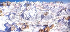
Campitello di Fassa Ski Map
5446 miles away
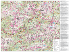
Val di Fassa Hiking Map
Hiking trail map of the Val di Fassa, Italy region. Highly detailed.
5449 miles away
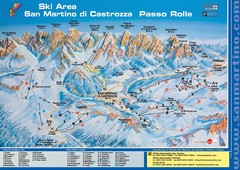
San Martino di Cartozza Ski Trail Map
Ski trail map of San Martino di Cartozza, Italy
5451 miles away
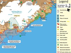
Vatnajökull National Park Map
Home of Iceland's highest mountain 2119m
5465 miles away
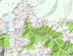
Val di Rabbi Topo Map
Detailed topographic map of Val di Rabbi, Italy on the edge of Stelvio National Park
5485 miles away
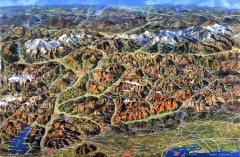
Eastern Alps Italy and Austria Overview Map
Panoramic map of the mountains and towns of northern Italy, the Tyrol, and southern Austria
5489 miles away
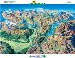
Valdidentro Alta Valtellina Summer Map
Panorama tourist map of the region of Valdidentro Alta Valtellina from Bormio, Italy to Livigno...
5506 miles away
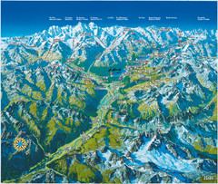
Engadin St. Moritz Region Summer Map
Summer panoramic tourist map of Engadin region of Switzerland. Includes St. Moritz, Piz Bernina...
5521 miles away
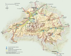
Cairngorms National Park Map
Official map of Cairngorms National Park, Britain's largest National Park at 3800 sq km. 4 of...
5531 miles away
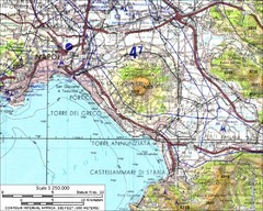
Mount Vesuvius Contour Map
Contour map of Mount Vesuvius and surrounding area. Rodad and cities also identified.
5538 miles away
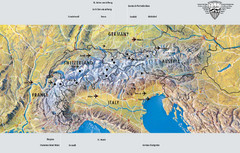
Alps Top Resort Town Map
Shows 12 top 4 season mountain resort towns in the Alps in France, Switzerland, Austria, and Italy.
5561 miles away
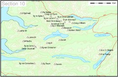
Munro Colour Contour Map Sec10
The list of hills and the grid references are from Wikipedia. The coastline is derived from data...
5583 miles away
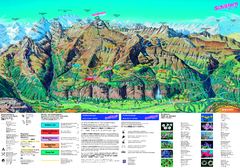
Schilthorn Summer Trail Map
Summer hiking map of Mürren-Schilthorn area. Shows lifts and trails.
5597 miles away
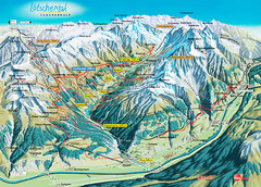
Lötschental Lauchernalp Summer Trail Map
Summer trail map of Lötschental Valley area. Shows hiking trails, towns, and mountains. The...
5606 miles away
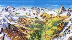
Zermatt Switzerland summer map
Summer hiking map of Zermatt
5622 miles away
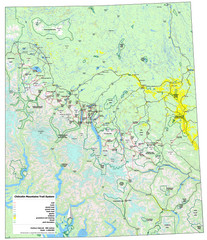
Chilcotin Mountains Trail System Map
Trail system map of the Chilcotin Mountains in BC, Canada "On the trail system map '...
5674 miles away
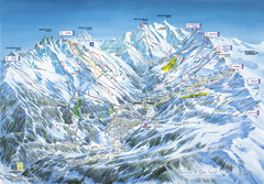
Méribel-Mottaret Ski Run Map
Ski Resort map for Méribel and Mottaret ski resorts including ski runs, lifts and mountain...
5694 miles away
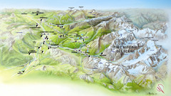
Ecrins National Park Map
Panoramic map of Parc National des Ecrins, France
5720 miles away
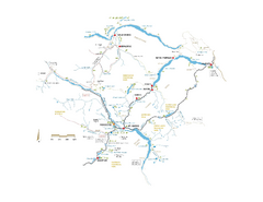
Pemberton Valley Area Parks Map
Area parks map of Pemberton Valley area in BC. Shows peaks and lakes.
5746 miles away

Whistler Blackcomb Ski Resort Map
Ski runs, lifts and amenities on the resort map
5757 miles away
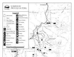
Garibaldi Provincial Park Map
Park map of Garibaldi Provincial Park, BC. 2 pages.
5763 miles away
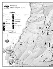
Cypress Provincial Park Map
Park map of Cypress Provincial Park, BC. Home of the North Shore Mountains. 2 pages.
5781 miles away
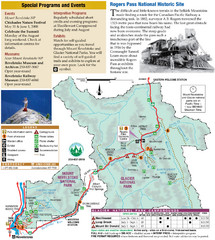
Glacier National Park and Revelstoke National...
Official park map of Glacier National Park and Revelstoke National Park in British Columbia, Canada.
5875 miles away

Apex Mountain Ski Resort Map
Apex Mountain Trail Map, Lifts and Elevations
5896 miles away
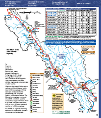
Banff National Park map
Official Parks Canada map of Banff National Park. Birthplace of Canada's national park system...
5917 miles away
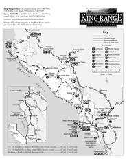
King Range National Conservation Area Trail Map
Trail map of the King Range National Conservation Area, home of the Lost Coast, California. Shows...
6156 miles away
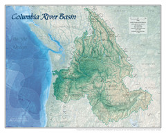
Columbia River Basin Map
6158 miles away
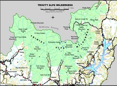
Trinity Alps Wilderness Map
Overview map of the Trinity Alps Wilderness near Weaverville, CA
6167 miles away
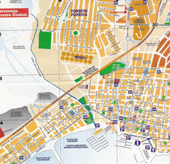
Torrevieja Spain Tourist Map
Detailed street map of the Costa Blanca town of Torrevieja, Spain. Map shows parking, information...
6305 miles away
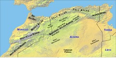
North Africa Mountain Ranges Map
Map of the mountain ranges of Northern Africa
6350 miles away
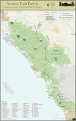
Ventana Wilderness Trails Map
Trail map of the Ventana Wilderness east of Big Sur. Also shows trails in the Silver Peak...
6447 miles away
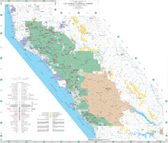
Los Padres National Forest Map - North
Overview map of the northern section of Los Padres National Forest in the Monterey Ranger District...
6452 miles away
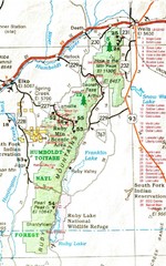
Ruby Mountains Area Map
Included are the communities of Elko, Wells, Deeth, Jiggs, Lee, Lamoille and Spring Creek. Some...
6460 miles away
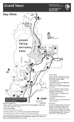
Grand Teton National Park Day Hikes Map
Shows suggested hikes and safety recommendations for day hikes in Grand Teton National Park, WY...
6469 miles away
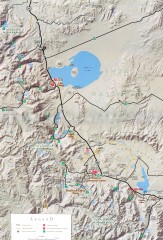
Eastern Sierra Trailhead Map - Lee Vining and...
Shows ranger stations and major trailheads in the eastern Sierra Nevada in the Mono Lake and...
6471 miles away
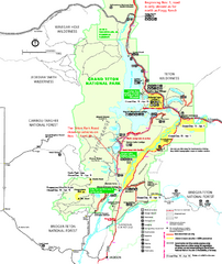
Grand Teton National Park Map - Winter
Official NPS winter map of Grand Teton National Park, Wyoming. The winter park map details winter...
6472 miles away
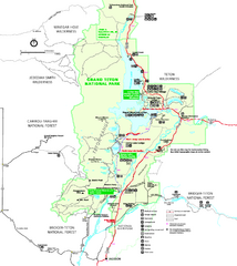
Grand Teton National Park Map - Summer
Official NPS summer map of Grand Teton National Park, Wyoming. The summer map includes all...
6475 miles away
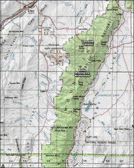
Ruby Mountains Wilderness Map
Overview map of Ruby Mountains Wilderness and Lamoille Canyon
6479 miles away
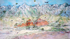
Lone Pine Map
Panorama tourist map of town of Lone Pine, California with surrounding area including the Alabama...
6567 miles away

