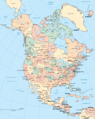
North America Map
Political map of North America. Shows states in US and provinces in Canada
1158 miles away
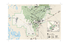
Guadalupe Mountains National Park Official Park...
Official NPS map of Guadalupe Mountains National Park in Texas. Guadalupe Mountains National Park...
1161 miles away
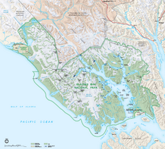
Glacier Bay National Park & Preserve Official...
Official NPS map of Glacier Bay National Park & Preserve in Alaska. Glacier Bay National Park...
1220 miles away
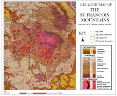
St. Francois Mountains Geologic Map
Map displaying the geology of the St. Francois Mountains in Missouri. Taken from the 1979 "...
1483 miles away
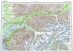
Anchorage Chugach State Park Topo Map
Topographic map of Chugach State Park, Anchorage, and surrounding area.
1666 miles away
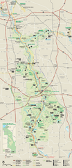
Cuyahoga Valley National Park Official Park Map
Official NPS map of Cuyahoga Valley National Park in Ohio. Map shows all areas. Cuyahoga Valley...
1812 miles away

Waynesville and Lake Junaluska Panoramic Map
Panoramic Map taking in Waynesville, Lake Junaluska and the Richland Creek watershed in Haywood...
1923 miles away

Sassafras Ridge Panorama Map
Panoramic view from Sassafras Ridge near Cashiers, North Carolina.
1932 miles away
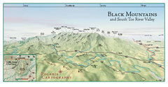
Black Mountains Panorama Map
This map portrays a sweeping vista of the Black Mountains and South Toe River Valley - extending...
1941 miles away

Roan Mountain Panorama Map
Panoramic Map of the View from the Baud Family Cabin of Roan Mountain, TN. The view overlooks...
1942 miles away
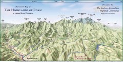
Panoramic Map of the Highlands of Roan (from TN)
Panoramic map of the Highlands of Roan as seen from Tennessee.
1942 miles away
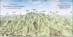
Panoramic Map of the Highlands of Roan (from NC)
Panoramic Map of the Roan Mountain Highlands as seen from North Carolina.
1943 miles away
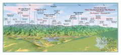
Northwest Reserve Panorama Map
Panoramic Map of the view Northwest from the Reserve in Brevard, North Carolina.
1944 miles away

Panoramic View of the Reserve Map
Panoramic map of the view northeast from 'Gladiola Ridge' in Brevard, North Carolina.
1944 miles away
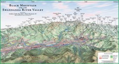
Black Mountain Panorama map
Panoramic map of the Black Mountain, NC and Swannanoa River Valley. Shows all mountains with...
1946 miles away
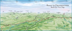
Panoramic View of Roan to Grandfather Map
This panorama takes in the vista from Roan to Grandfather mountain - overlooking the upper Linville...
1955 miles away
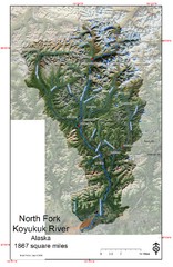
North Fork Koyukuk Watershed - Alaska Map
Map showing the North Fork Koyukuk River watershed, Alaska as explored by Bob Marshall in the 1930...
1960 miles away
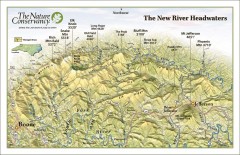
New River Headwaters Panorama Map
This panoramic map of the New River Headwaters area in North Carolina highlights TNC conservation...
1961 miles away
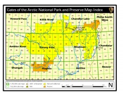
Gates of the Arctic National Park and Preserve...
Official NPS map of Gates of the Arctic National Park and Preserve in Alaska. Shows all areas. The...
1990 miles away
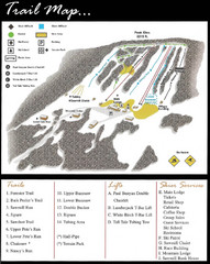
Ski Sawmill Family Resort Trail Map
Map shows trails, lifts and skier services.
2013 miles away
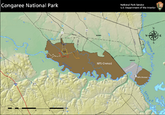
Congaree National Park Official Park Map
Official NPS map of Congaree National Park. Map shows all areas. Congaree National Park is open...
2093 miles away
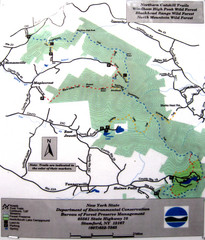
Northern Catskill Trail Map
Trail map shows hiking trails in the northern Catskills of New York. Shows trails in Windham High...
2145 miles away
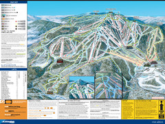
07-08 Killington Ski Trail Guide Map
Trail Map of Ski Area including lifts, runs and mountain elevation.
2174 miles away
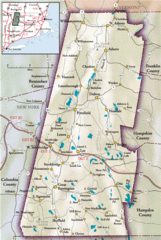
Berkshires Map
Overview map of the Berkshires region of Western Massachusetts
2186 miles away
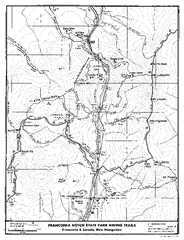
Franconia Notch Hiking Map
Map of hiking trails around Fanconia Notch State Park New Hampshire.
2215 miles away
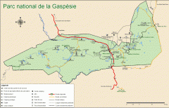
Gaspesie National Park Map - Summer
Official SEPAQ map of Gaspesie National Park in the Gaspe Peninsula, Quebec. Show trails, huts...
2369 miles away
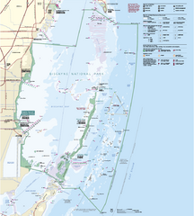
Biscayne National Park Official Map
Official NPS map of Biscayne National Park in Florida. Convoy Point, location of the parks...
2484 miles away
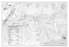
Haleakala National Park Official Park Map
Official NPS map of Haleakala National Park in Hawaii. Map shows all trails and information...
2783 miles away
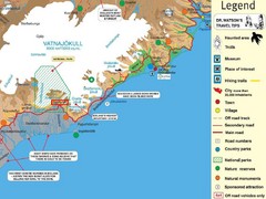
Vatnajökull National Park Map
Home of Iceland's highest mountain 2119m
3761 miles away
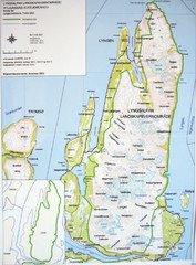
Lyngen Peninsula Map
Topo map of the northern Lyngen Peninsula near Tromso, Norway. Shows peaks. From photo.
4191 miles away
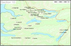
Munro Colour Contour Map Sec10
The list of hills and the grid references are from Wikipedia. The coastline is derived from data...
4349 miles away
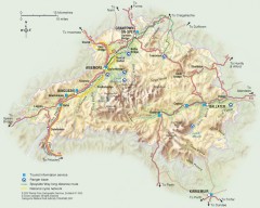
Cairngorms National Park Map
Official map of Cairngorms National Park, Britain's largest National Park at 3800 sq km. 4 of...
4391 miles away
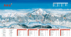
ARE Ski Resort in Sweden Map
Ski run, lifts and mountain elevations for the ARE Ski Resort in Sweden. Note: The map is in...
4442 miles away
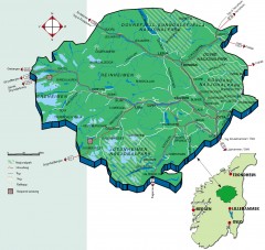
Nasjonalparkriket National Park Region Map
The national parks region "Nasjonalparkriket" is centrally located between the cities of...
4443 miles away
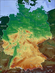
Germany Topo Map
Topographical map of Germany. Shaded by elevation in meters. Also shows major German cities.
5096 miles away
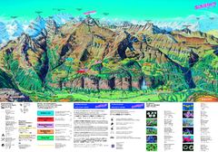
Schilthorn Summer Trail Map
Summer hiking map of Mürren-Schilthorn area. Shows lifts and trails.
5264 miles away
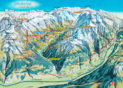
Lötschental Lauchernalp Summer Trail Map
Summer trail map of Lötschental Valley area. Shows hiking trails, towns, and mountains. The...
5269 miles away
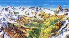
Zermatt Switzerland summer map
Summer hiking map of Zermatt
5290 miles away
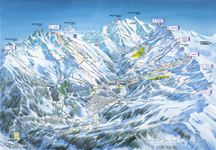
Méribel-Mottaret Ski Run Map
Ski Resort map for Méribel and Mottaret ski resorts including ski runs, lifts and mountain...
5291 miles away
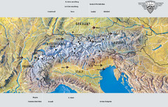
Alps Top Resort Town Map
Shows 12 top 4 season mountain resort towns in the Alps in France, Switzerland, Austria, and Italy.
5298 miles away

