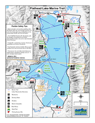
West Shore State Park Map
Glacially carved rock outcrops rise from Flathead Lake to overlooks with spectacular views of the...
790 miles away
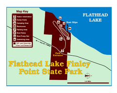
Finley Point State Park Map
This park is located in a secluded, mature pine forest near the south end of Flathead Lake. Enjoy...
793 miles away
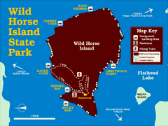
Wild Horse Island State Park Map
Boat access to this day-use-only, primitive park is regulated to protect the 2,000-acre island. The...
793 miles away
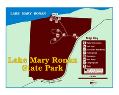
Lake Mary Ronan State Park Map
Off the beaten path just seven miles west of Flathead Lake, this park is shaded by Douglas fir and...
794 miles away
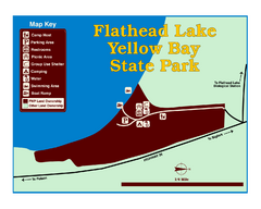
Yellow Bay State Park Map
Yellow Bay is in the heart of the famous Montana sweet cherry orchards, blossoms color the...
800 miles away
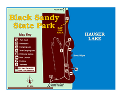
Black Sandy State Park Map
Simple but clear map of State Park.
801 miles away
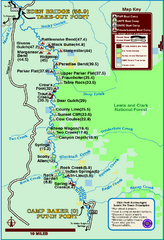
Smith River State Park Map
The Smith River is a unique 59-mile river corridor. Permits are required to float the stretch of...
823 miles away
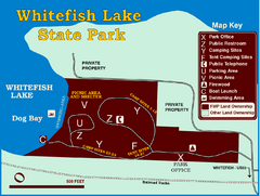
Whitefish Lake State Park Map
Although it’s right on the outskirts of Whitefish, this small park provides a mature forest...
823 miles away
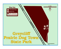
Greycliff Prairie Dog Town State Park Map
Grab your camera and hop off Interstate 90 at Greycliff to delight in the playful, curious black...
832 miles away
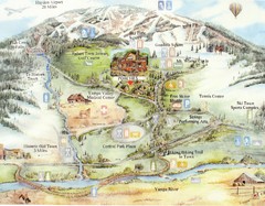
Steamboat Springs Map
A fun map marking points of interest and more.
838 miles away
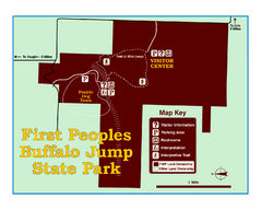
First People's Buffalo Jump State Park Map
A visitor center and interpretive trails tell the story of this prehistoric bison kill site, one of...
850 miles away
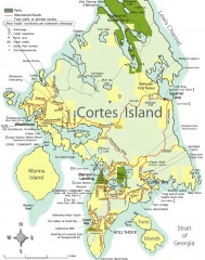
Cortes Island tourist map
Tourist map of Cortes Island in British Columbia, Canada. Shows businesses and roads.
851 miles away
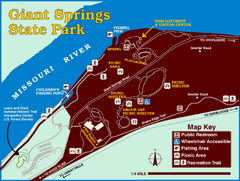
Giant Springs State Park Map
Set aside a whole afternoon to experience this scenic and historic freshwater springs site. First...
864 miles away
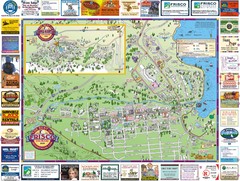
Frisco, CO Resort Map
Resort Maps of Summit County is the most widely distributed map in Frisco, Copper Mountain...
872 miles away
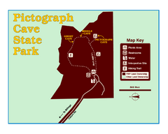
Pictograph Cave State Park Map
The 2,730-square-foot building, on the northwestern side of the existing parking lot, is designed...
887 miles away
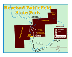
Rosebud Battlefield State Park Map
This National Historic Landmark on the rolling prairie of eastern Montana preserves the site of the...
929 miles away
Waldo Canyon Fire Area Map
933 miles away
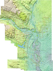
Calgary Topo Bike Map
This map shows the city of Calgary's bike routes. The topographic representation of the...
989 miles away
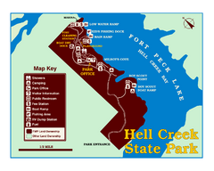
Hell Creek State Park Map
You’ll reach this campground park, 25 miles north of Jordan, through the spectacular scenery...
1020 miles away
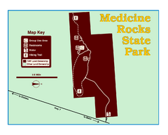
Medicine Rocks State Park Map
As the name implies, Medicine Rocks was a place of "big medicine" where Indian hunting...
1063 miles away
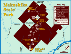
Makoshika State Park Map
To the Sioux Indians, Ma-ko-shi-ka meant bad earth or bad land. Today, as Montana’s largest...
1087 miles away
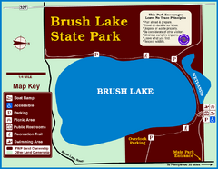
Brush Lake State Park Map
Simple and easily read map.
1165 miles away
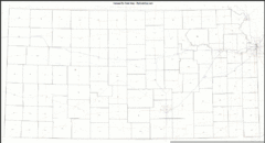
Kansas Zip Code Map
Check out this Zip code map and every other state and county zip code map zipcodeguy.com.
1279 miles away
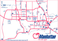
Manhattan (Kansas) City Map
City Map of Manhattan, Kansas including Kansas State University
1380 miles away
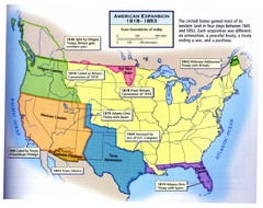
American Expansion 1818-1853 Map
Shows the four major steps through which the US gained most of it's western land between 1818...
1383 miles away
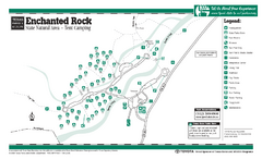
Enchanted Rock, Texas State Park Camping Map
1467 miles away

Regional Cuisine of Mexico Map
1522 miles away
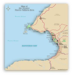
Puerto Vallarta Map
A JPG map of Puerto Vallarta. It shows the various developments in the larger area of Puerto...
1555 miles away
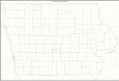
Iowa Zip Code Map
Check out this Zip code map and every other state and county zip code map zipcodeguy.com.
1557 miles away
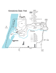
Kinnickinnic State Park Map
Map detailing hiking routes and stops along the way.
1588 miles away
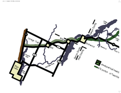
Tuscobia Map
Lakes and trails are easy to follow on this map.
1643 miles away
Amnicon Falls State Park Map
Marked trails, picnic sites, bridges, toilets, ect. make the hike around the beautiful Amnicon...
1647 miles away
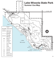
Lake Wissota State Park Map
Easy hiking along the beautiful water front.
1659 miles away
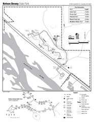
Nelson Dewey State Park Map
Easy trails for you to walk on your vacation.
1664 miles away
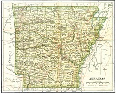
Old Arkansas Map
Old 1892 historical map in great condition.
1687 miles away
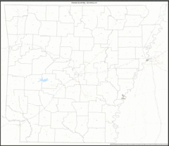
Arkansas Zip Code Map
Check out this Zip code map and every other state and county zip code map zipcodeguy.com.
1687 miles away
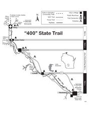
400 State Trail Map
Long and beautiful trail through Wisconsin's finest.
1709 miles away
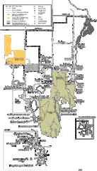
Buckhorn State Park Map
Hiking trails and fun locations marked on this map.
1718 miles away

