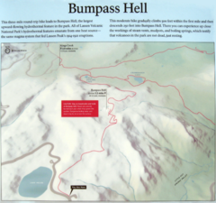
Bumpass Hell Trail Map
Trail map of route to Bumpass Hell, a major area of geo-thermal activity in Lassen National Park...
502 miles away
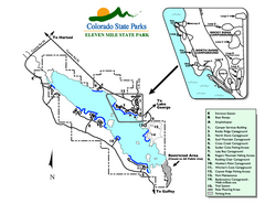
Eleven Mile State Park Map
Map of park with detail of campground zones
526 miles away
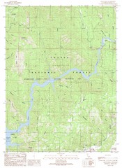
Devils Rock Quad - Shasta Lake Map
Topographic map, Devils Rock Quadrangle, California 1990. Area of map includes a portion of Shasta...
541 miles away
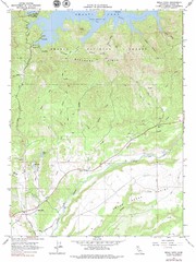
Bella Vista Quad - Shasta Lake Map
Topographic map, Bella Vista Quadrangle, California 1976. Area of map includes a portion of Shasta...
544 miles away
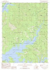
Minnesota Mountain Quad - Shasta Lake Map
Topographic map, Minnesota Mountain Quadrangle, California 1990. Area of map includes a portion of...
545 miles away
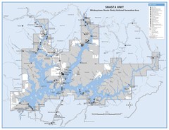
Shasta Unit - Whiskeytown-Shasta-Trinity National...
Map of Shasta Lake, California, showing roads, campgrounds, marinas and resorts, hiking and biking...
549 miles away
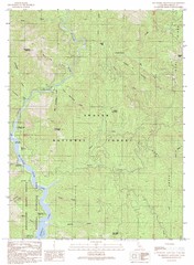
Bollibokka Mountain Quad - Shasta Lake Map
Topographic map, Bollibokka Mountain Quadrangle, California 1990. Area of map includes a portion of...
550 miles away
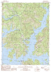
O'Brien Quad - Shasta Lake Map
Topographic map, O'Brien Quadrangle, California 1990. Area of map includes a portion of Shasta...
551 miles away
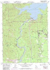
Shasta Dam Quad - Shasta Lake Map
Topographic map, Shasta Dam Quadrangle, California 1969. Area of map includes a portion of Shasta...
551 miles away
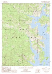
Bohemotash Mountain Quad - Shasta Lake Map
Topographic map, Bohemotash Mountain Quadrangle, California 1990. Area of map includes a portion of...
552 miles away
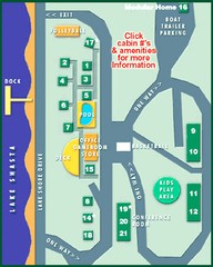
Tsasdi Resort - Shasta Lake Map
Map of the grounds of Tsasdi Resort, lakehead, CA.
556 miles away
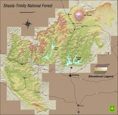
Shasta Trinity National Forest Elevation Map
Shaded relief map of Shasta-Trinity National Forest in northern California
557 miles away
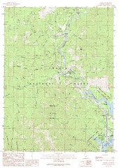
Lamoine Quad - Shasta Lake Map
Topographic map, Lamoine Quadrangle, California 1990. Area of map includes a portion of Shasta Lake...
558 miles away
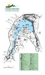
Chatfield State Park Map
Map of park with detail of recreation areas
564 miles away
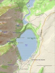
Jenny Lake Hiking Map
Shows hiking trails around Jenny Lake in Grand Teton National Park.
576 miles away
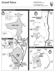
Grand Teton National Park Lakeshore Hiking Map
Shows scenic hikes around lakes such as Phelps, Jenny, Leigh and Taggart in Grand Teton National...
580 miles away
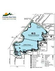
Barr Lake State Park Map
Map of park with detail of trails and recreation zones
591 miles away
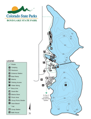
Boyd Lake State Park Map
Map of park with detail of recreation ares
593 miles away
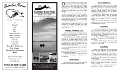
Jackson Lake State Park Map
Map of park with detail of recreation areas
637 miles away
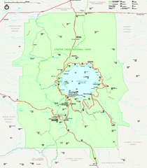
Crater Lake National Park official map
Official map of Crater Lake National Park. Shows hiking trails, elevations of peaks, roads, and...
641 miles away
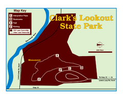
Clark's Lookatout State Park Map
Clearly marked State Park Map.
651 miles away
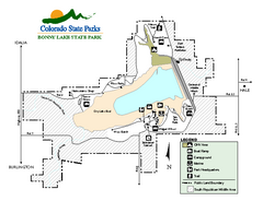
Bonny Lake State Park Map
Map of park with detail of recreation areas
709 miles away

Cooney State Park Map
Simple and clear State Park Map.
711 miles away
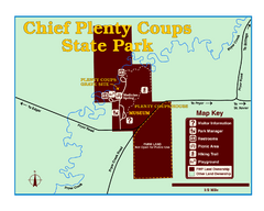
Chief Plenty Coups State Park Map
Simple and clear map of State Park.
724 miles away
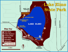
Lake Elmo State Park Map
This urban day-use park attracts visitors to swim, sailboard, and fish. A display in the Fish...
751 miles away
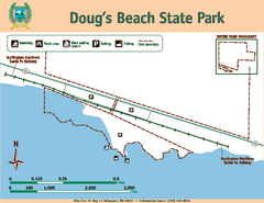
Dougs Beach State Park Map
Map of park with detail of trails and recreation zones
762 miles away
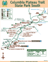
Columbia Plateau Trail State Park South Map
Map of park with detail of trails and recreation zones
778 miles away
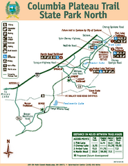
Columbia Plateau Trail State Park North Map
Map of park with detail of trails and recreation zones
778 miles away
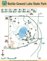
Battle Ground Lake State Park Map
Map of park with detail of trails and recreation zones
807 miles away
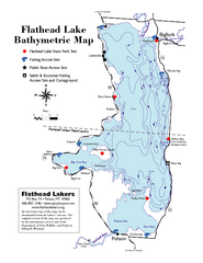
Bathymetric Map of Flathead Lake
Bathymetry refers to underwater depth
830 miles away
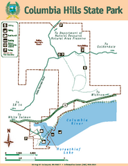
Columbia Hills State Park Map
Map of park with detail of trails and recreation zones
855 miles away
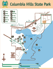
Columbia Hills State Park Map
Map of park with detail of trails and recreation zones
855 miles away
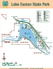
Lake Easton State Park Map
Map of island with detail of trails and recreation zones
861 miles away
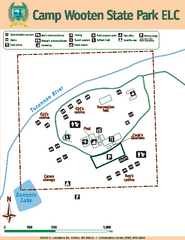
Camp Wooten State Park Map
Map of park with detail of trails and recreation zones
877 miles away
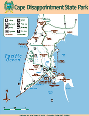
Cape Dissapointment State Park Map
Map of park with detail of trails and recreation zones
878 miles away
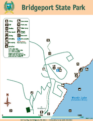
Bridgeport State Park Map
Map of park with detail of trails and recreation zones
880 miles away
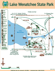
Lake Wenatchee State Park Map
Map of island with detail of trails and recreation zones
886 miles away
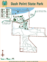
Dash Point State Park Map
Map of park with detail of trails and recreation zones
892 miles away
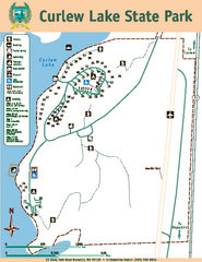
Curlew Lake State Park Map
Map of park with detail of trails and recreation zones
897 miles away
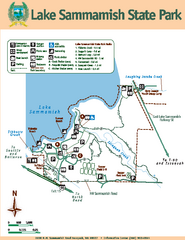
Lake Sammamish State Park Map
Map of island with detail of trails and recreation zones
899 miles away

