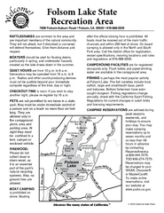
Folsom Lake State Recreation Area Campground Map
Map of park with detail of trails and recreation zones
521 miles away
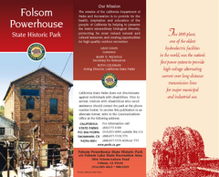
Folsom Powerhouse State Historic Park Map
Map of park with detail of trails and recreation zones
521 miles away
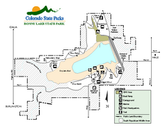
Bonny Lake State Park Map
Map of park with detail of recreation areas
525 miles away
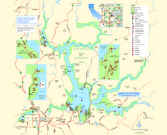
Lake Oroville State Recreation Area Map
Map of recreation area with detail of trails and recreation zones
542 miles away
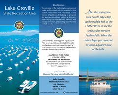
Lake Oroville State Recreation Area Map
Map of recreation area with detail of trails and recreation zones
542 miles away

Cooney State Park Map
Simple and clear State Park Map.
544 miles away
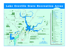
Lake Oroville State Recreation Area Map
Recreation overview map of Lake Oroville State Recreation Area near Oroville, California. Show all...
548 miles away
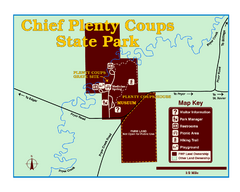
Chief Plenty Coups State Park Map
Simple and clear map of State Park.
552 miles away
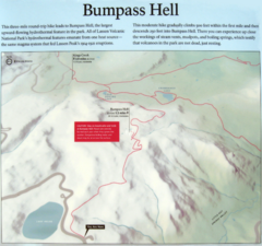
Bumpass Hell Trail Map
Trail map of route to Bumpass Hell, a major area of geo-thermal activity in Lassen National Park...
560 miles away
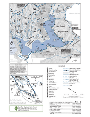
Lake Chabot Trail Map
572 miles away
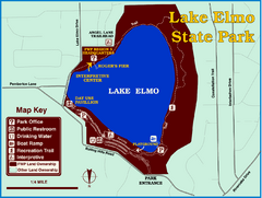
Lake Elmo State Park Map
This urban day-use park attracts visitors to swim, sailboard, and fish. A display in the Fish...
580 miles away
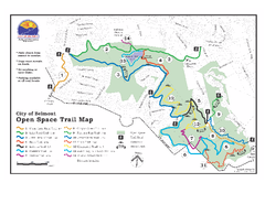
Water Dog Lake Park Trail Map
Trail map of Water Dog Lake Park. Open to mountain biking.
584 miles away
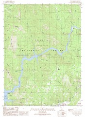
Devils Rock Quad - Shasta Lake Map
Topographic map, Devils Rock Quadrangle, California 1990. Area of map includes a portion of Shasta...
597 miles away
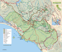
Mount Tamalpais State Park Map
Topographic trail map of Mt Tamalpais State Park in Marin County, California.
599 miles away
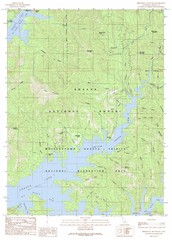
Minnesota Mountain Quad - Shasta Lake Map
Topographic map, Minnesota Mountain Quadrangle, California 1990. Area of map includes a portion of...
602 miles away
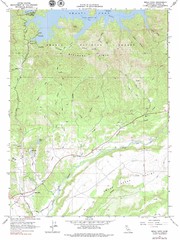
Bella Vista Quad - Shasta Lake Map
Topographic map, Bella Vista Quadrangle, California 1976. Area of map includes a portion of Shasta...
602 miles away
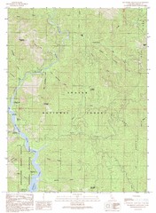
Bollibokka Mountain Quad - Shasta Lake Map
Topographic map, Bollibokka Mountain Quadrangle, California 1990. Area of map includes a portion of...
606 miles away
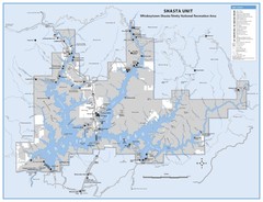
Shasta Unit - Whiskeytown-Shasta-Trinity National...
Map of Shasta Lake, California, showing roads, campgrounds, marinas and resorts, hiking and biking...
607 miles away
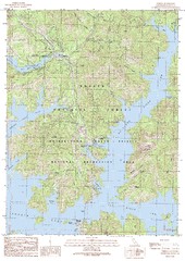
O'Brien Quad - Shasta Lake Map
Topographic map, O'Brien Quadrangle, California 1990. Area of map includes a portion of Shasta...
609 miles away
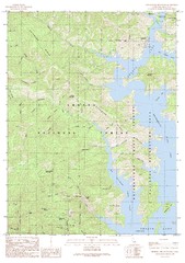
Bohemotash Mountain Quad - Shasta Lake Map
Topographic map, Bohemotash Mountain Quadrangle, California 1990. Area of map includes a portion of...
611 miles away
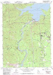
Shasta Dam Quad - Shasta Lake Map
Topographic map, Shasta Dam Quadrangle, California 1969. Area of map includes a portion of Shasta...
612 miles away
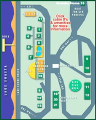
Tsasdi Resort - Shasta Lake Map
Map of the grounds of Tsasdi Resort, lakehead, CA.
613 miles away
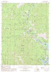
Lamoine Quad - Shasta Lake Map
Topographic map, Lamoine Quadrangle, California 1990. Area of map includes a portion of Shasta Lake...
614 miles away
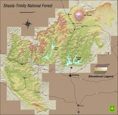
Shasta Trinity National Forest Elevation Map
Shaded relief map of Shasta-Trinity National Forest in northern California
615 miles away
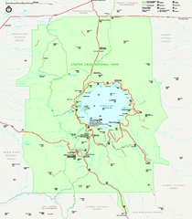
Crater Lake National Park official map
Official map of Crater Lake National Park. Shows hiking trails, elevations of peaks, roads, and...
657 miles away
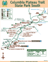
Columbia Plateau Trail State Park South Map
Map of park with detail of trails and recreation zones
707 miles away
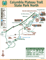
Columbia Plateau Trail State Park North Map
Map of park with detail of trails and recreation zones
708 miles away
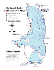
Bathymetric Map of Flathead Lake
Bathymetry refers to underwater depth
711 miles away
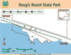
Dougs Beach State Park Map
Map of park with detail of trails and recreation zones
731 miles away
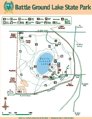
Battle Ground Lake State Park Map
Map of park with detail of trails and recreation zones
787 miles away
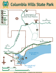
Columbia Hills State Park Map
Map of park with detail of trails and recreation zones
805 miles away
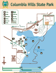
Columbia Hills State Park Map
Map of park with detail of trails and recreation zones
805 miles away
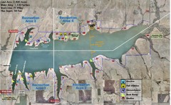
Winfield City Lake Map
Recreation map of Winfield City Lake in Winfield, Kansas. Named Timber Creek Lake. Shows camping...
809 miles away
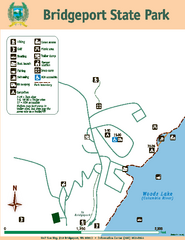
Bridgeport State Park Map
Map of park with detail of trails and recreation zones
813 miles away
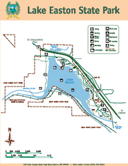
Lake Easton State Park Map
Map of island with detail of trails and recreation zones
815 miles away
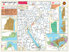
Tuttle Creek Lake Map
Army Corps of Engineers Map of Tuttle Creek Lake and adjoining State Parks.
816 miles away
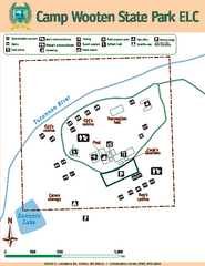
Camp Wooten State Park Map
Map of park with detail of trails and recreation zones
816 miles away
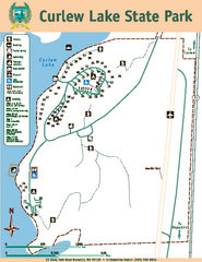
Curlew Lake State Park Map
Map of park with detail of trails and recreation zones
821 miles away
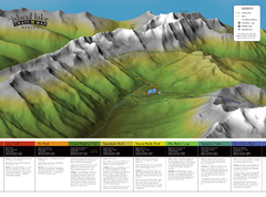
Island Lake Hiking Map
Hiking trail map of Island Lake area near Fernie, BC
830 miles away
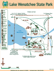
Lake Wenatchee State Park Map
Map of island with detail of trails and recreation zones
831 miles away

