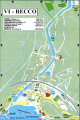
Recco Map
134 miles away

Camogli Map
135 miles away
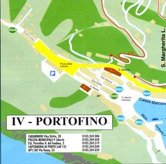
Portofino Map
136 miles away
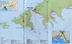
Porto Venere Map
136 miles away
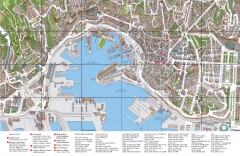
Genoa Tourist Map
Tourist map of center of Genoa, Italy (Genova). Drawing shows all buildings and legend has top 10...
139 miles away
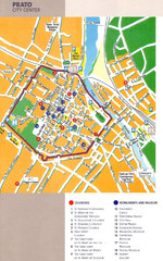
Prato Tourist Map
Tourist map of center of the city of Prato, Italy. Shows points of interest.
139 miles away
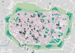
Lucca Tourist Map
Tourist map of walled town of Lucca, Italy. Shows major buildings.
142 miles away
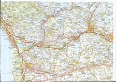
Northwest Tuscany Area Map
Scan of road map of northwestern Tuscany showing Pisa, Lucca, and Pistoia areas.
143 miles away
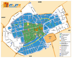
Asti Traffic Zone Map
Traffic zone map of city of Asti, Italy from the ZTL (Zona Traffico Limitado).
145 miles away
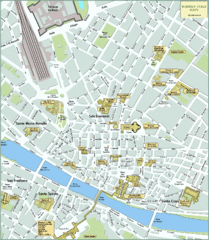
Florence Tourist Map
Shows museums and other points of interest in central Florence, Italy.
148 miles away
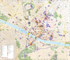
Florence Map
148 miles away
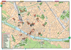
Florence Tourist Map
Tourist map of the historical center of Florence, Italy. Shows major attractions.
148 miles away
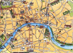
Pisa Tourist Map
Tourist map of Pisa, Italy. Shows major buildings.
152 miles away
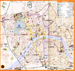
Pisa Map
152 miles away

Pisa Around Map
152 miles away
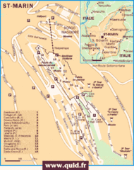
San Marino Map
Guide to the land locked country of San Marino
156 miles away
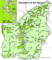
San Marino Road Map
Guide to the roads of San Marino, a country entirely surrounded by Italy
156 miles away
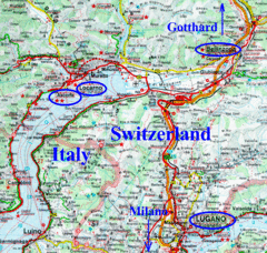
Southern Europe Map
157 miles away
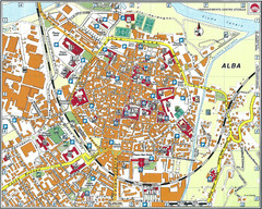
Alba Map
159 miles away
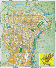
Torino Street Map
Street map of central Torino (Turin), Italy.
163 miles away
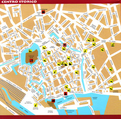
Livorno Tourist Map
Tourist map of historical center of Livorno, Italy. Shows tourist points of interest.
164 miles away
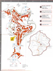
San Gimignano Map
168 miles away
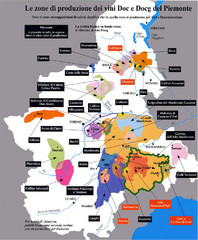
Piedmont Region Wine Map
Wine map of the Piedmont region in Italy. Shows production zones.
175 miles away
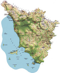
Tuscany Physical Map
Physical map of Tuscany, Italy.
175 miles away
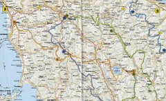
Tuscany Road Map
Road map of Tuscany, Italy. Shows routes of some kind.
175 miles away
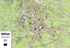
Siena Map
179 miles away
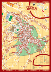
Siena Tourist Map
Tourist map of central Siena, Italy in Tuscany. Shows points of interest.
179 miles away
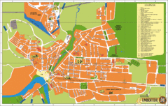
Umbertide Tourist Map
Tourist map of Umbertide, Italy. Shows major buildings and points of interest are labeled. In...
193 miles away
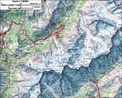
Mont Blanc topographic map
topo map of Mont Blanc, France; highest point in the Alps
195 miles away
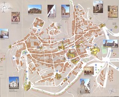
Montalcino Map
198 miles away
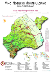
montepulciano road map of production area
199 miles away
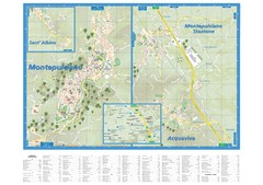
Montepulciano Map
199 miles away
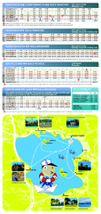
Lago Trasimeno Map
201 miles away
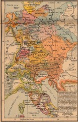
Germany Italy 1803 Map
Germany and Italy in 1803 after the Principle Decree of the Imperial Deputation
205 miles away
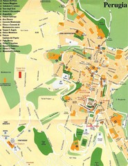
Perugia Tourist Map
Tourist map of central Perugia, Italy, the capital of Umbria. Shows points of interest and hotels...
207 miles away
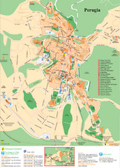
Perugia Tourist Map
Tourist map of Perugia, Italy. Shows points of interest.
207 miles away
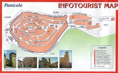
Panicale Tourist Map
Tourist map of small town of Panicale, Italy. Shows major buildings. In Italian. Scanned.
207 miles away
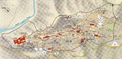
Assisi Tourist Map
Tourist map of Assisi, Italy
213 miles away
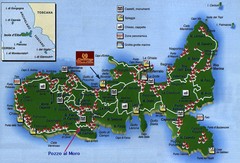
Elba Tourist Map
Tourist map of the island of Elba, Italy. Shows points of interest.
216 miles away
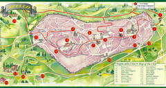
Spello Tourist Map
Tourist map of city of Spello, Italy. Shows points of interest. In English and Italian.
220 miles away

