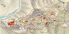
Assisi Tourist Map
Tourist map of Assisi, Italy
120 miles away
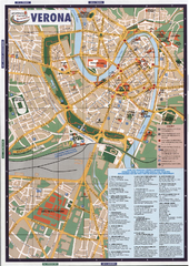
Verona Tourist Map
Tourist map of Verona, Italy. Shows points of interest.
123 miles away
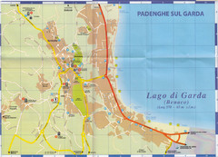
Padenghe sul Garda Map
124 miles away
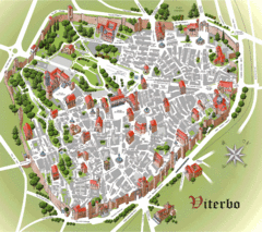
Viterbo Tourist Map
Tourist map of central Viterno, Italy.
125 miles away
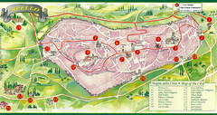
Spello Tourist Map
Tourist map of city of Spello, Italy. Shows points of interest. In English and Italian.
125 miles away
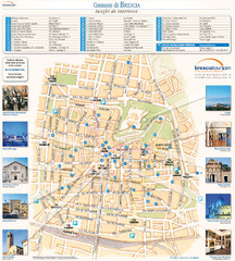
Brescia Tourist Map
Tourist map of central Brescia, Italy. Shows points of interest and photos.
126 miles away
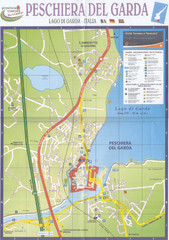
Peschiera del Garda Map
129 miles away
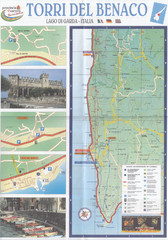
Torri del Benaco Map
132 miles away
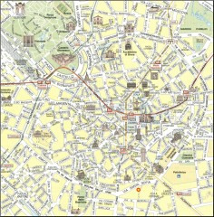
Milan Tourist Map
Tourist map of central Milan, Italy. Shows major buildings.
135 miles away
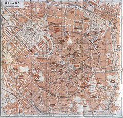
Milan Tourist Map
135 miles away
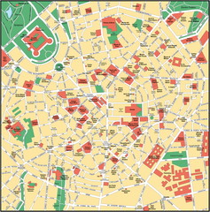
Milan Center Map
135 miles away
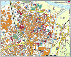
Alba Map
135 miles away
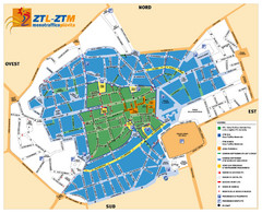
Asti Traffic Zone Map
Traffic zone map of city of Asti, Italy from the ZTL (Zona Traffico Limitado).
136 miles away
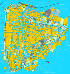
Padova Tourist Map
Tourist map of central Padova (Padua), Italy. Shows major buildings and other tourist information.
138 miles away

Padova Street Map
Street map of central Padova, Italy. Shows public phones.
138 miles away
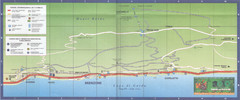
Brenzone Map
139 miles away
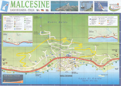
Malcesine Map
143 miles away
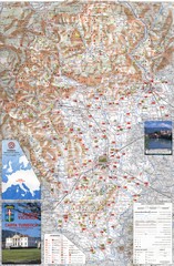
Vicenza Tourist Map
Tourist map of region around Vicenza, Italy. Shows points of interest. In Italian. Scanned.
146 miles away
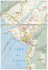
Nago-Torbole Map
151 miles away
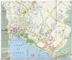
Riva del Garda Map
152 miles away
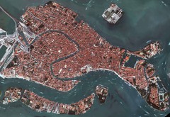
Venice Aerial Map
Aerial map of Venice, Italy. Shows points of interest.
153 miles away
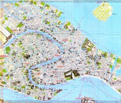
Venice Street Map
Detailed street map of Venice, Italy showing major landmarks, canals, and buildings.
153 miles away
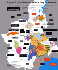
Piedmont Region Wine Map
Wine map of the Piedmont region in Italy. Shows production zones.
157 miles away
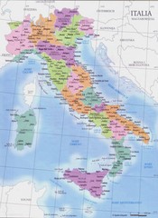
Italy regions map
163 miles away
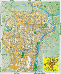
Torino Street Map
Street map of central Torino (Turin), Italy.
163 miles away
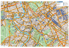
Rome Centro Transportation Map
Shows streets, major buildings, and metro stops of central Rome, Italy
164 miles away
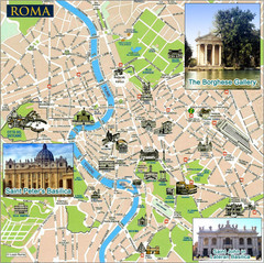
Rome Tourist Map
Tourist map of central Rome, Italy. Shows major landmarks represented by sketches. Also shows...
164 miles away

Rome Province Map
Road and physical map of the province of Rome, Italy. Shows towns represented by orange blocks...
164 miles away
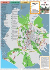
Rome Biking Map
Biking route map of the area around Rome, Italy. Shows biking routes in roads and in parks.
164 miles away
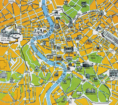
Rome City Tourist Map
164 miles away
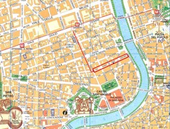
Rome City Tourist Map
164 miles away
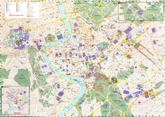
Roma Map
164 miles away

Gattinara Map
165 miles away
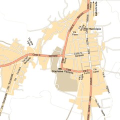
Gattinara Map
165 miles away
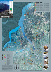
Lake Como Mountain Biking Trail Map
Trail map of mountain biking routes around Lake Como, Italy.
165 miles away
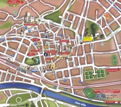
Trento Tourist Map
Tourist map of central Trento, Italy. Shows major buildings.
167 miles away

Italy Map 1898
Overview map of Italy from 1898. Shows regions.
169 miles away
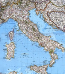
Italy Political Map
Political map of Italy. Scanned.
169 miles away
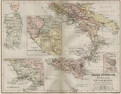
Italy and Sicily Ancient Map
Map of ancient Italy, Sicily, and Sardinia. Year unknown.
169 miles away
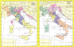
Italy Historic Political Map 15th Century and...
Side-by-side political maps showing Italy at the close of the 15th century and the unification of...
169 miles away

