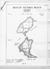
Victoria Beach and Elk Island Map
1616 miles away
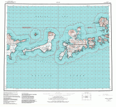
Adak Alaska Topo Map
Topo map of former military outpost. 1:250,000 Scale. City incorporated in 2001.
1669 miles away
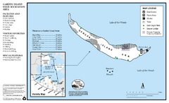
Garden Island State Recreation Area Map
Map of park with detail of trails and recreation zones
1737 miles away
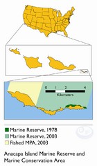
Anacapa Island Marine Reserve Map
1761 miles away
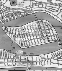
Balboa Island 2007 approx. Map
1818 miles away
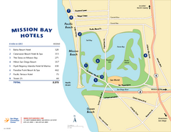
Mission Bay Tourist Map
Tourist map of the Mission Bay area of San Diego, with hotel listings
1886 miles away
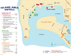
San Diego Island Tourist Map
Map of Coronado Island and surrounding area of San Diego, with hotel listings
1891 miles away
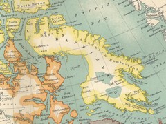
Baffin Island Map
1940 miles away
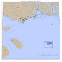
Cape Dorset Map
1978 miles away
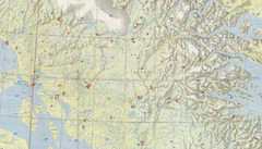
Central Baffin Island Map
1982 miles away
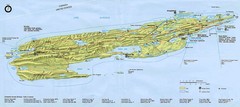
Isle Royale National Park Map
2008 miles away
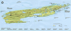
Isle Royale National Park Map
Park map of Isle Royal National Park. Scanned.
2009 miles away
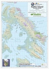
Baffin Island Map
Physical relief map shows national parks and permanent ice. See source for more info on back of...
2072 miles away
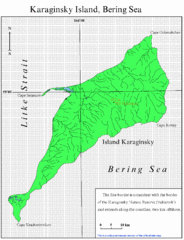
Karaginski Island Map
2151 miles away
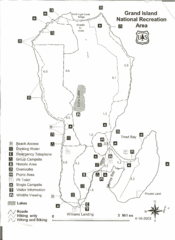
Grand Island National Recreation Area Map
2154 miles away
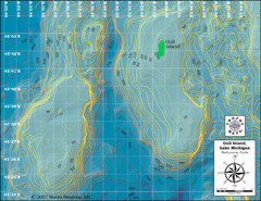
Gull Island Bathymetric Map
2219 miles away
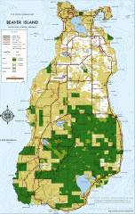
Beaver Island Michigan Map
Map of Beaver Island, Michigan. Created in 1977 by William Cashman and Edward Wojan. From...
2230 miles away
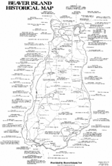
Beaver Island History Map
2232 miles away
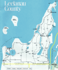
Leelanau County Lake Map
Lakes in Leelanau County.
2254 miles away
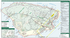
Mackinac Island Map
Tourist map of Mackinac Island, Michigan. Shows attractions.
2258 miles away
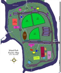
Island Park Facility Map
2353 miles away
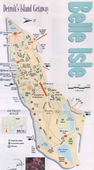
Belle Isle Tourist Map
Tourist map of Belle Isle, Detroit's island get-away
2479 miles away
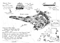
Peche Island Map
Hand-drawn map of Peche Island, Michigan
2481 miles away
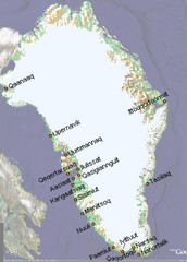
Greenland City Names Map
Map of Greenland shows city names.
2537 miles away
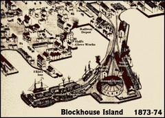
Blockhouse Island Map 1874
Bird’s Eye view map of Brockville created by artist Herman Brosius and the lithographers...
2650 miles away
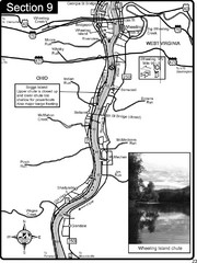
Ohio River at Wheeling, WV and 10 miles downriver...
This is a page from the Ohio River Guidebook. The map shows important information for boaters and...
2676 miles away
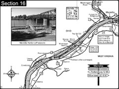
Ohio River at Marietta, OH and 8 miles downriver...
This is a page from the Ohio River Guidebook. The map shows important information for boaters and...
2677 miles away
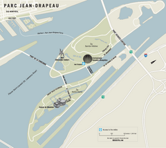
Parc Jean Drapeau Map
Park map of Parc Jean Drapeau in the St. Lawrence River, Montreal
2688 miles away

Oahu North Shore Tourist Map
Shows tourist points of interest on Oahu's North Shore, Hawaii. Home of Waimea Bay Beach Park...
2708 miles away
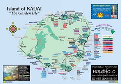
Kauai Island, Hawaii Tourist Map
2708 miles away
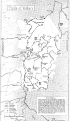
Koke'e State Park Trail Map
Trail map of Koke‘e State Park in Kauai, Hawaii. Trails include the Alakai Swamp Trail...
2708 miles away
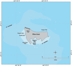
Nihoa Island Tourist Map
2710 miles away
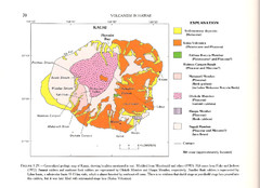
Kauai Geological Map
Geological map of volcanism in island of Kauai, Hawaii.
2710 miles away
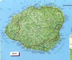
Kauai Map
Map of island of Kaua'i. Shows geographical features. Scanned.
2711 miles away
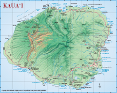
Kauai Relief Map
Shows all beaches and relief of the island of Kauai in state of Hawaii.
2711 miles away
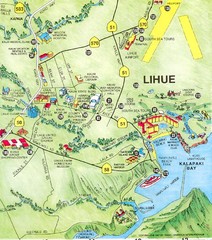
Lihue Tourist Map
Tourist map of town of Lihue, Hawaii on island of Kauai.
2713 miles away
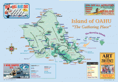
Island of Oahu tourist map
Tourist map of Oahu Island of the Hawaiian Islands. Shows points of interest, dining, and...
2714 miles away
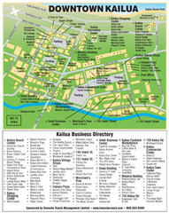
Kailua, Hawaii Tourist Map
2714 miles away
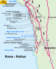
Kailua, Hawaii Tourist Map
2714 miles away

