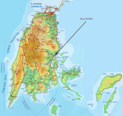
Lefkada Tourist Map
Tourist map of island of Lefkada, Greece.
951 miles away
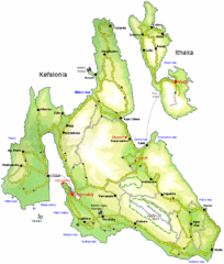
Kefalonia and Ithaka Overview Map
Overview map of the islands of Kefalonia and Ithaka (Ithaki), Greece.
953 miles away
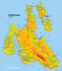
Kefalonia and Ithaka Map
Detailed elevation map of islands of Kefalonia and Ithaka (Ithaki), Greece
954 miles away
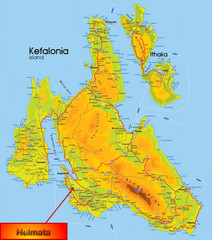
Kefalonia Map
957 miles away
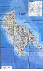
Zakynthos Island Map
Detailed map of Zakynthos Island. Scanned
971 miles away
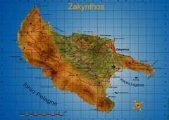
Zakynthos Tourist Map
Tourist map of island of Zakynthos, Greece. Shows points of interest. Scanned.
971 miles away
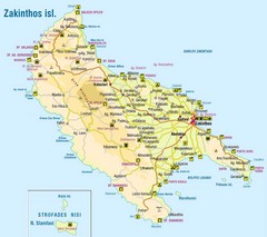
Zakinthos Tourist Map
Tourist map of island of Zakinthos, Greece. Shows symbols for tourist activities.
973 miles away
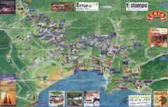
Tsilivi Tourist Map
Tourist map of town of Tsilivi, Zakynthos Island, Greece. Shows businesses. Scanned
976 miles away
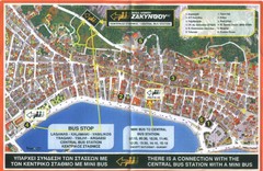
Zakynthos City Tourist Map
Tourist map of Zakynthos city on Zakynthos Island. Shows major points of interest and bus routes...
977 miles away
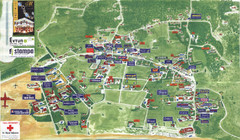
Kalamaki Zakynthos Tourist Map
Tourist map of town of Kalamaki on Zakynthos Island. Scanned.
978 miles away
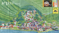
Argassi Tourist Map
Tourist map of Argassi, Zakynthos Island, Greece. Shows all businesses. Scanned.
979 miles away
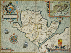
Anglesey Map
1004 miles away
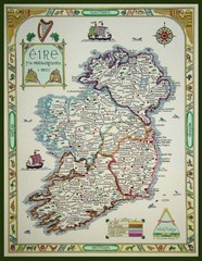
Hand-Drawn Ireland Map
Guide to Ireland and Northern Ireland, in Gaelic
1064 miles away
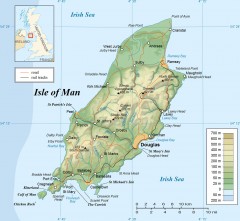
Isle of Man Topo Map
Topographical map of the Isle of Man showing roads, rail tracks, geographic features, and towns...
1070 miles away
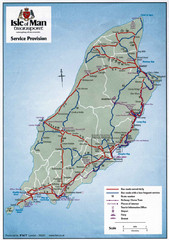
Isle of Man Transportation Map
1070 miles away
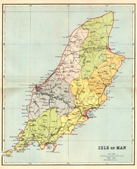
Isle of Man Map
1070 miles away
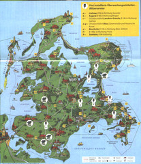
Rügen Tourist Map
Tourist map of the island of Rügen, Germany's largest island.
1137 miles away
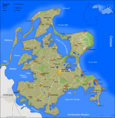
Rügen Map
Shows shaded population density of island of Rugen, Germany
1140 miles away
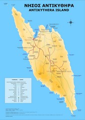
Antikythira Tourist Map
Tourist map of island of Antikythira, Greece. Shows points of interest.
1142 miles away
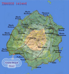
Thassos Island, Greece Tourist Map
1149 miles away
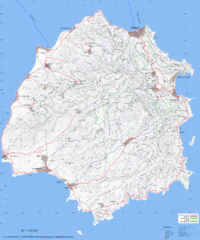
Thassos Topo Map
Topographical map of island of Thassos, Greece. Shows roads and trails.
1152 miles away
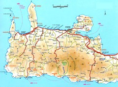
Western Crete Tourist Map
Tourist map of western portion of Crete. Shows points of interest.
1178 miles away
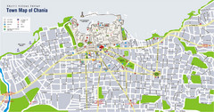
Chania Tourist Map
Tourist map of the town of Chania on the island of Crete, Greece. Shows points of interest.
1189 miles away
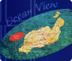
Lanzarote Map
Island road map of Lanzarote
1189 miles away
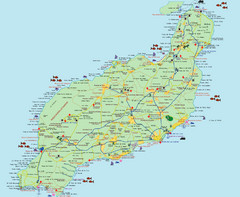
Lanzarote Tourist Map
Tourist map of Lanzarote, Canary Islands, Spain.
1190 miles away
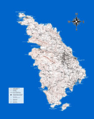
Sifnos Topo Map
Topographical map of the island of Sifnos, Greece. Shows tourist points of interest.
1194 miles away
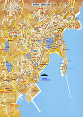
Ermoupolis Map
1198 miles away
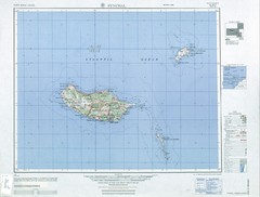
Madeira Country Map
1203 miles away
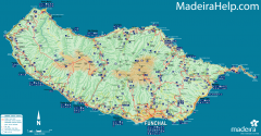
Madeira Island Map
Road map of Madeira Island, Portugal. Shows roads, trails, and rivers. Symbols for points of...
1204 miles away
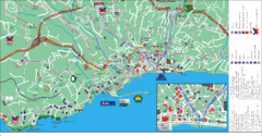
Funchal Tourist Map
Tourist map of Funchal, Madeira
1204 miles away
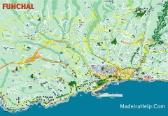
Funchal Madeira Map
Street map of Funchal, Madeira Islands, Portugal
1204 miles away
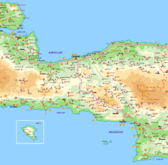
Rethymno Map
1210 miles away
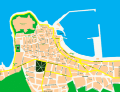
Rethymno City Map
City map of central Rethymno, Crete
1216 miles away
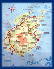
Paros Island Map
Overview map of island of Paros, Greece. Photo of paper map.
1217 miles away
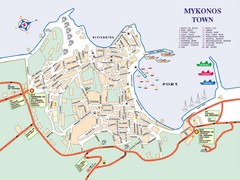
Mykonos Town Map
Tourist map of the town of Mykonos on the island of Mykonos, Greece. Shows points of interest.
1219 miles away
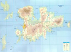
Mykonos Island Map
Also shows Delos Island and Rinia Island.
1221 miles away
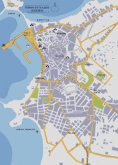
Naxos Town Map
Simplified tourist map of town of Naxos, Greece.
1227 miles away
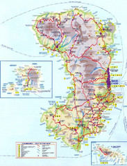
Chios Tourist Map
Tourist map of island of Chios, Greece. Shows points of interest. In Greek. Scanned.
1232 miles away

