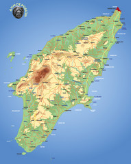
Rhodes Physical Map
Shaded physical map of island of Rhodes, Greece.
243 miles away
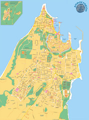
Rhodes City Map
City street map of city of Rhodes, Greece on the Greek island of Rhodes.
258 miles away
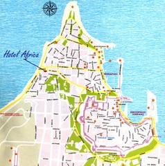
Rhodes City Map
City map of Rhodes, Greece. In Greek.
259 miles away
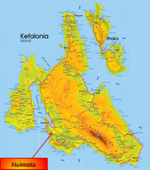
Kefalonia Map
261 miles away
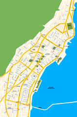
Argostoli City Map
Simple street map of island city of Argostoli, Kefalonia, Greece. Some points of interest shown.
263 miles away
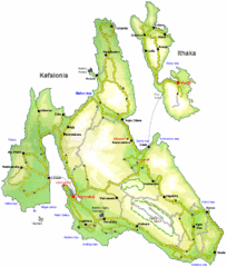
Kefalonia and Ithaka Overview Map
Overview map of the islands of Kefalonia and Ithaka (Ithaki), Greece.
264 miles away
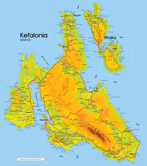
Kefalonia and Ithaka Map
Detailed elevation map of islands of Kefalonia and Ithaka (Ithaki), Greece
265 miles away
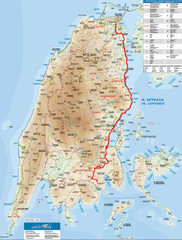
Lefkada Tourist Map
Tourist map of Ionian island of Lefkada, Greece. Shows points of interest. Also shows island of...
285 miles away
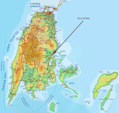
Lefkada Tourist Map
Tourist map of island of Lefkada, Greece.
285 miles away
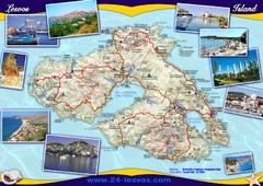
Lesvos (Lesbos) Tourist Map
Tourist map of island of Lesbos (Lesvos), Greece. In English and Greek. Shows points of interest...
294 miles away
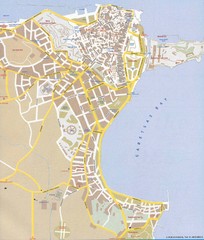
Corfu Town Map
Tourist map of town of Corfu (Kerkyra) on the island of Corfu, Greece.
359 miles away
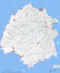
Thassos Topo Map
Topographical map of island of Thassos, Greece. Shows roads and trails.
366 miles away
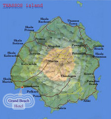
Thassos Island, Greece Tourist Map
369 miles away
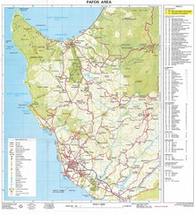
Paphos Area Tourist Map
Tourist map of Paphos (Pafos) area of Cyprus
487 miles away
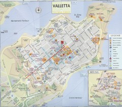
Valletta Tourist Map
Tourist map of central Valletta, Malta. Shows points of interest. Scanned
521 miles away
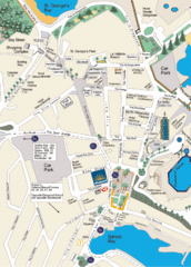
St. Julians Map
Simple map marking points of interest and roads.
523 miles away
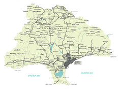
Limassol District Map
Map of Limassol District, Cyprus
524 miles away
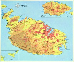
Malta Map
525 miles away
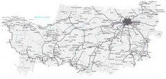
Cyprus Lefkosia Region Map
Map of Cyprus and the Lefkosia region
527 miles away
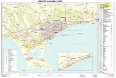
Limassol, Cyprus Tourist Map
527 miles away
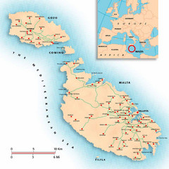
Malta Map
Overview map of Malta with detail of main cities
529 miles away
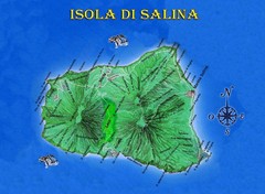
Isola di Salina Map
Island map of Isola di Salina, off the north coast of Sicily. Shows volcanoes and towns of Leni...
539 miles away
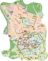
Nicosia Tourist Map (Turkish side)
Tourist map of the Turkish side of Nicosia (Lefkosa) on the island of Cyprus. Shows points of...
541 miles away
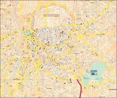
Nicosia Tourist Map
Tourist map of central Nicosia, Cyprus. Shows points of interest. Also shows line of Turkish...
541 miles away
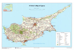
Cyprus Tourist Map
Tourist map of the island nation of Cyprus.
545 miles away
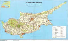
Cyprus Tourist Map
Tourist map of Cyprus. Shows points of interest. Fuzzy quality.
545 miles away
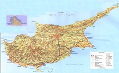
Cyprus Tourist Map
Tourist map of island of Cyprus. Shows points of interest.
545 miles away
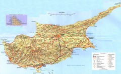
Cyprus Island Map
545 miles away
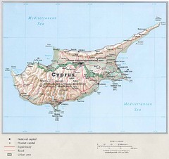
Cyprus Country Map
545 miles away
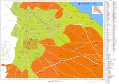
Paralimni Tourist Map
Tourist and street map of Paralimni, Cyprus. Shows streets, hotels, and other points of interest.
576 miles away
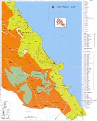
Protaras Tourist Map
Tourist map of Protaras, Cyprus, in the southeast region of the island. Shows hotels and other...
581 miles away
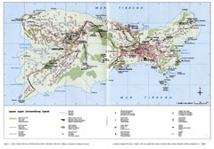
Capri Tourist Map
Tourist map of island of Capri, Italy. Shows roads, hotels, beaches, and other points of interest...
628 miles away
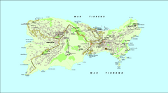
Capri Tourist Map
Tourist map of island of Capri, Italy
629 miles away
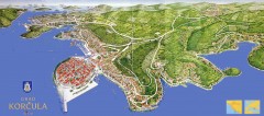
Korcula Tourist Map
Panoramic tourist map of town of Korcula, Croatia and surroundings. From korculainfo.com: "...
630 miles away

Island of Hvar Map
Map of the Island Hvar, Croatia showing roads and cities.
653 miles away

Hvar Island Map
Nautical map of the island of Hvar. Town of Sucuraj highlighted.
653 miles away
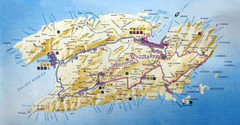
Vis Island Map
666 miles away
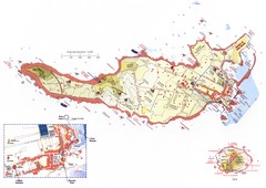
Ventotene Tourist Map
Tourist map of island of Ventotene, Italy. Also shows Santo Stefano island. Shows points of...
673 miles away
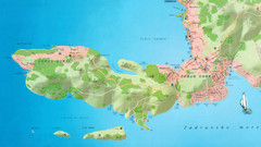
Okrug Donji and Okrug Gornji Tourist Map
Tourist map of Okrug Donji, Croatia and Okrug Gornji, Croatia
687 miles away

