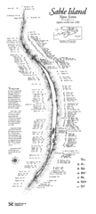
Sable Island Wreck Map
Shipwreck map of Sable Island, Nova Scotia. Known wrecks since 1583
550 miles away
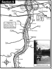
Ohio River at Wheeling, WV and 10 miles downriver...
This is a page from the Ohio River Guidebook. The map shows important information for boaters and...
563 miles away
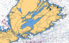
Cape Breton Island Nautical Map
Nautical map showing the Canso Strait, Isle Madame, Chedabucto Bay, and Cape Breton Island
567 miles away
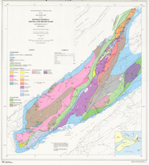
Boisedale Peninsula Map
Geological map of peninsula.
583 miles away
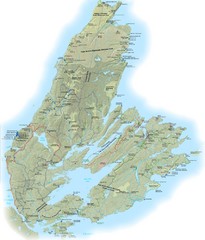
Cape Breton Island Trail Map
Trail map of Cape Breton Island
584 miles away
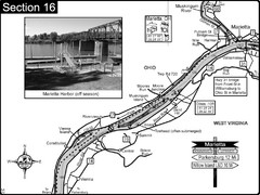
Ohio River at Marietta, OH and 8 miles downriver...
This is a page from the Ohio River Guidebook. The map shows important information for boaters and...
613 miles away
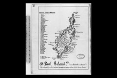
St Paul Island Wreck Map
Shipwreck map of St. Paul Island, Nova Scotia
640 miles away
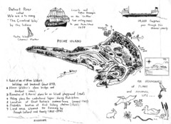
Peche Island Map
Hand-drawn map of Peche Island, Michigan
665 miles away
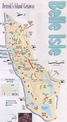
Belle Isle Tourist Map
Tourist map of Belle Isle, Detroit's island get-away
667 miles away
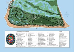
Bald Head Island Tourist Map
671 miles away
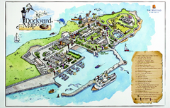
Royal Naval Dockyard Tourist Map
Tourist map of the Royal Naval Dockyard in Bermuda. Shows points of interest
684 miles away
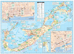
Tourist map of Bermuda
Great tourist map of Bermuda from the Bermuda Department of Tourism. Historic, transport...
686 miles away
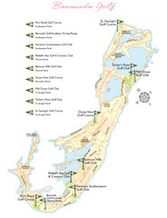
Bermuda Golf Map
Golf map of Bermuda. Shows 9 golf courses.
687 miles away
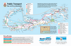
Bermuda Public Transport Map
Bus and ferry map of Bermuda. Shows ferry stops and bus routes.
687 miles away
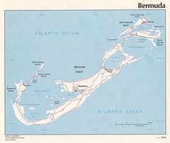
Bermuda Tourist Map
687 miles away
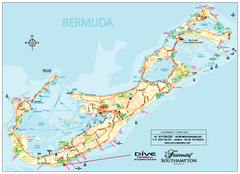
Bermuda Overview Map
Overview map of Bermuda. Shows sunken ship diving spots.
687 miles away
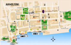
Hamilton City Map
Tourist map of central Hamilton, Bermuda. Shows major streets and parks.
688 miles away

Huntington Beach State Park Map
Detailed map and legend of this beautiful state park.
728 miles away
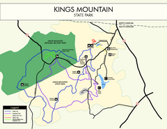
Kings Mountain State Park Map
Clearly marked state park map.
744 miles away
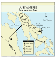
Lake Wateree State Park Map
Clear map of State Park.
764 miles away
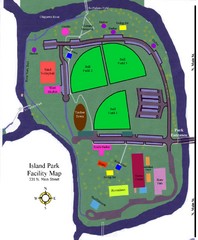
Island Park Facility Map
765 miles away
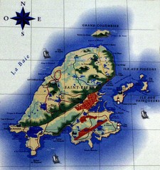
Saint Pierre Map
788 miles away
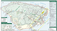
Mackinac Island Map
Tourist map of Mackinac Island, Michigan. Shows attractions.
793 miles away
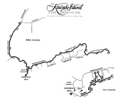
Kiawah Island Triathlon Map
Map of Kiawah Island Triathlon course, 2002
813 miles away
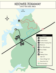
Keowee Toxaway State Park Map
Clear and detailed map of this wonderful state park.
822 miles away
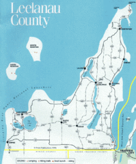
Leelanau County Lake Map
Lakes in Leelanau County.
825 miles away
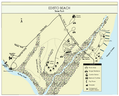
Edisto Beach State Park Map
Clearly labeled map of this beautiful state park.
828 miles away
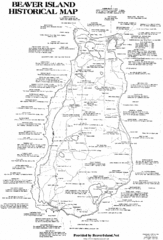
Beaver Island History Map
831 miles away
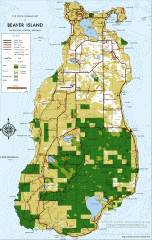
Beaver Island Michigan Map
Map of Beaver Island, Michigan. Created in 1977 by William Cashman and Edward Wojan. From...
832 miles away
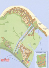
Harbor Island Real Estate Map
838 miles away
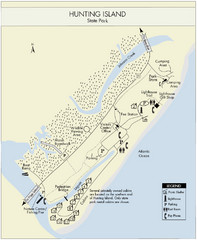
Hunting Island State Park Map
Shows facilities of Hunting Island State Park, South Carolina. Rated the #8 beach in America by...
841 miles away
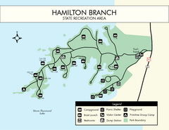
Hamilton Branch State Park Map
Simple state park map.
843 miles away
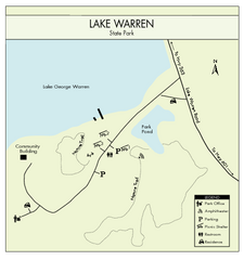
Lake Warren State Park Map
Clearly marked state park map.
844 miles away
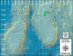
Gull Island Bathymetric Map
847 miles away
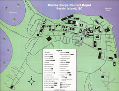
Parris Island Marine Corps Recruit Depot Map
Map of the Parris Island Marine Corps Recruit Depot near Beaufort, South Carolina. Shows...
851 miles away
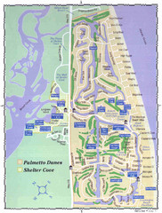
Palmetto Dunes Map
862 miles away
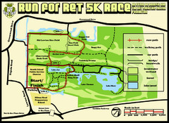
Hilton Head Run for Ret 5K Race Course Map
Hilton Head Island Run for Ret 5K Race Course, Aug 30, 2008.
865 miles away
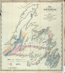
Newfoundland Geologic Map 1842
870 miles away
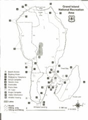
Grand Island National Recreation Area Map
899 miles away
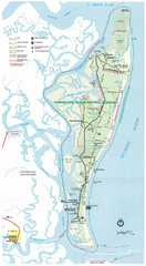
Cumberland Island Map
Map of Cumberland Island, including hiking trails and campgrounds
957 miles away

