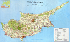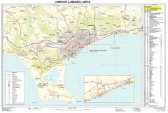
Limassol, Cyprus Tourist Map
302 miles away
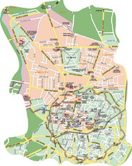
Nicosia Tourist Map (Turkish side)
Tourist map of the Turkish side of Nicosia (Lefkosa) on the island of Cyprus. Shows points of...
308 miles away
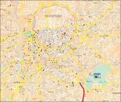
Nicosia Tourist Map
Tourist map of central Nicosia, Cyprus. Shows points of interest. Also shows line of Turkish...
309 miles away
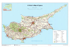
Cyprus Tourist Map
Tourist map of the island nation of Cyprus.
313 miles away
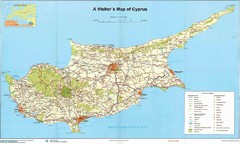
Cyprus Tourist Map
Tourist map of Cyprus. Shows points of interest. Fuzzy quality.
313 miles away
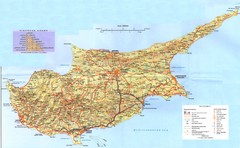
Cyprus Tourist Map
Tourist map of island of Cyprus. Shows points of interest.
313 miles away
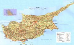
Cyprus Island Map
313 miles away
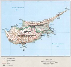
Cyprus Country Map
313 miles away
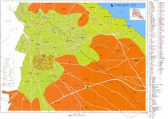
Paralimni Tourist Map
Tourist and street map of Paralimni, Cyprus. Shows streets, hotels, and other points of interest.
343 miles away
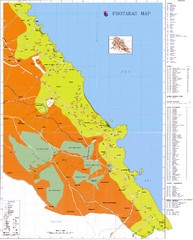
Protaras Tourist Map
Tourist map of Protaras, Cyprus, in the southeast region of the island. Shows hotels and other...
349 miles away
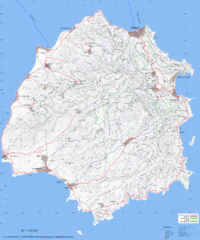
Thassos Topo Map
Topographical map of island of Thassos, Greece. Shows roads and trails.
359 miles away
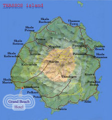
Thassos Island, Greece Tourist Map
363 miles away
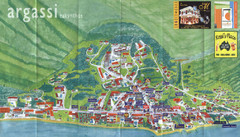
Argassi Tourist Map
Tourist map of Argassi, Zakynthos Island, Greece. Shows all businesses. Scanned.
407 miles away
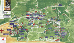
Kalamaki Zakynthos Tourist Map
Tourist map of town of Kalamaki on Zakynthos Island. Scanned.
408 miles away
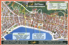
Zakynthos City Tourist Map
Tourist map of Zakynthos city on Zakynthos Island. Shows major points of interest and bus routes...
409 miles away
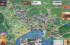
Tsilivi Tourist Map
Tourist map of town of Tsilivi, Zakynthos Island, Greece. Shows businesses. Scanned
411 miles away
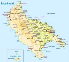
Zakinthos Tourist Map
Tourist map of island of Zakinthos, Greece. Shows symbols for tourist activities.
413 miles away
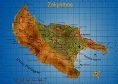
Zakynthos Tourist Map
Tourist map of island of Zakynthos, Greece. Shows points of interest. Scanned.
415 miles away
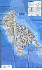
Zakynthos Island Map
Detailed map of Zakynthos Island. Scanned
415 miles away
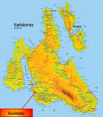
Kefalonia Map
431 miles away
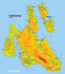
Kefalonia and Ithaka Map
Detailed elevation map of islands of Kefalonia and Ithaka (Ithaki), Greece
434 miles away
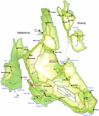
Kefalonia and Ithaka Overview Map
Overview map of the islands of Kefalonia and Ithaka (Ithaki), Greece.
435 miles away
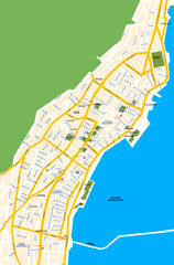
Argostoli City Map
Simple street map of island city of Argostoli, Kefalonia, Greece. Some points of interest shown.
437 miles away
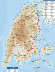
Lefkada Tourist Map
Tourist map of Ionian island of Lefkada, Greece. Shows points of interest. Also shows island of...
441 miles away
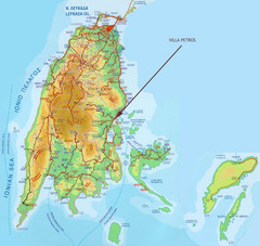
Lefkada Tourist Map
Tourist map of island of Lefkada, Greece.
441 miles away
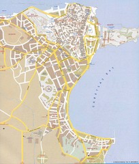
Corfu Town Map
Tourist map of town of Corfu (Kerkyra) on the island of Corfu, Greece.
502 miles away
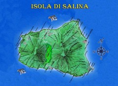
Isola di Salina Map
Island map of Isola di Salina, off the north coast of Sicily. Shows volcanoes and towns of Leni...
742 miles away
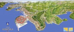
Korcula Tourist Map
Panoramic tourist map of town of Korcula, Croatia and surroundings. From korculainfo.com: "...
745 miles away
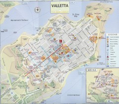
Valletta Tourist Map
Tourist map of central Valletta, Malta. Shows points of interest. Scanned
755 miles away
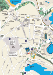
St. Julians Map
Simple map marking points of interest and roads.
756 miles away
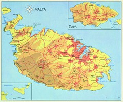
Malta Map
759 miles away
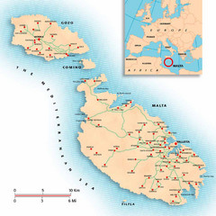
Malta Map
Overview map of Malta with detail of main cities
762 miles away

Island of Hvar Map
Map of the Island Hvar, Croatia showing roads and cities.
768 miles away

Hvar Island Map
Nautical map of the island of Hvar. Town of Sucuraj highlighted.
768 miles away
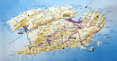
Vis Island Map
789 miles away
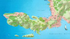
Okrug Donji and Okrug Gornji Tourist Map
Tourist map of Okrug Donji, Croatia and Okrug Gornji, Croatia
803 miles away
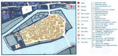
Trogir Tourist Map
Tourist map of old island town Trogir, Croatia. Shows points of interest.
804 miles away
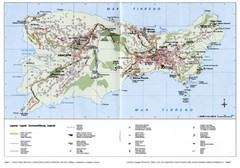
Capri Tourist Map
Tourist map of island of Capri, Italy. Shows roads, hotels, beaches, and other points of interest...
805 miles away
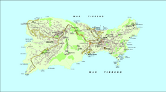
Capri Tourist Map
Tourist map of island of Capri, Italy
805 miles away

